Select Item below to DOWNLOAD - Once item is selected, right click and choose 'save as'
b0ee21a4-4f85-4889-ae72-d09b66e4e2f9
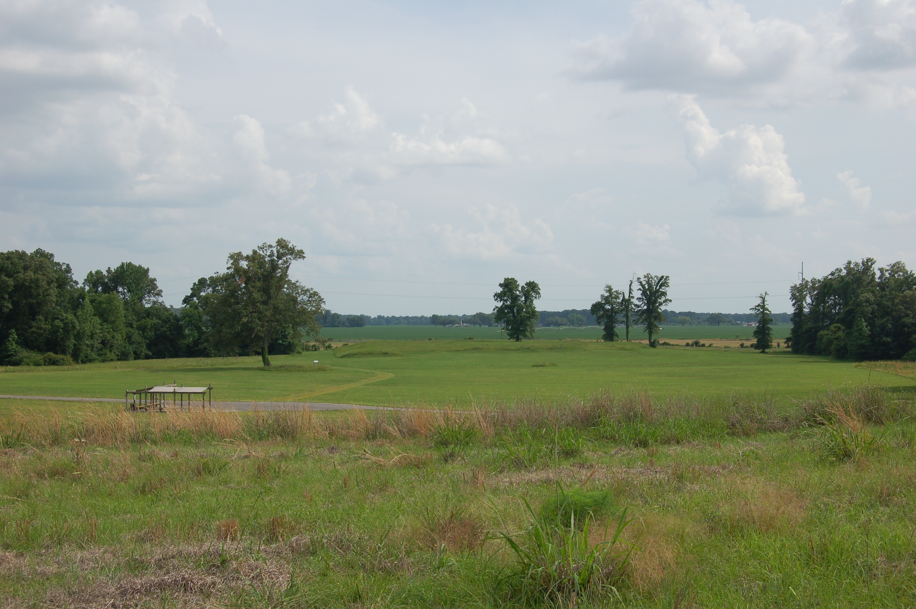
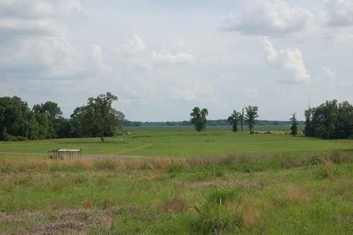
Tour of Poverty Point. Detection Dogs Workshop at Poverty Point, Day 1.
A landscape view of a grassy field from the top of a hill.
Permission must be secured from the individual copyright owners to reproduce any copyrighted materials contained within this website. Digital assets without any copyright restrictions are public domain.
National Park Service
Public domain
Image
National Center for Preservation Technology and Training, Code: NCPT
Poverty Point National Monument, Code: POPO
Poverty Point National Monument, Code: POPO
Poverty Point National Monument, West Carroll Parish, Louisiana
Latitude: 32.6352996826172, Longitude: -91.4086990356445
Latitude: 32.6352996826172, Longitude: -91.4086990356445
05/09/2023
05/09/2023
Public Can View
Person: Tad Britt
Organization: National Center for Preservation Technology and Training
Position: Chief, Archeology
Email: tad_britt@nps.gov
Organization: National Center for Preservation Technology and Training
Position: Chief, Archeology
Email: tad_britt@nps.gov
Tuesday, May 16, 2023 9:33:38 PM
Thursday, October 26, 2023 1:20:14 PM
DSC_4085.JPG
NIKON CORPORATION NIKON CORPORATION, NIKON D50
10/4000 sec at f / 10
35 mm
Thursday, January 6, 2005 6:08:34 AM
jpg
2.4 MB
Events