Select Item below to DOWNLOAD - Once item is selected, right click and choose 'save as'
b068d39e-9095-4fec-9a96-28768b2fd614
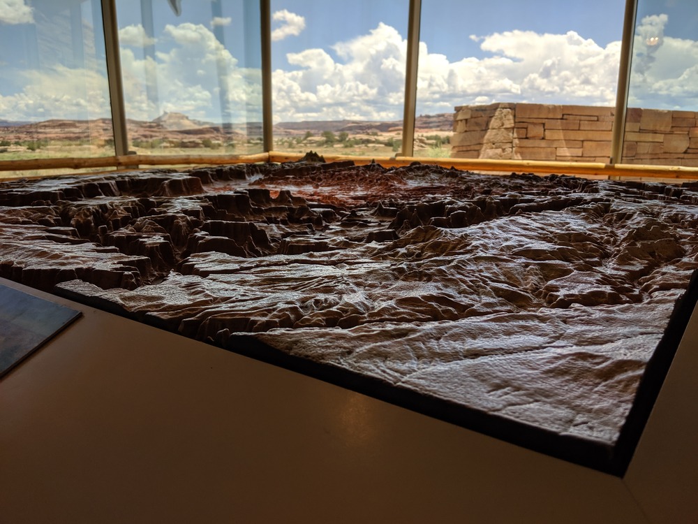
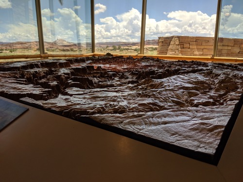
Canyonlands Relief Map
a three-dimensional map showing topographic features with broad windows with rock formations and clouds in the distance
A relief map on display at The Needles Visitor Center
Permission must be secured from the individual copyright owners to reproduce any copyrighted materials contained within this website. Digital assets without any copyright restrictions are public domain.
NPS/Chris Wonderly
Public domain:Full Granting Rights
Image
Canyonlands National Park, Code: CANY
Latitude: 38.1679916666667, Longitude: -109.759444444444, Elevation: 0
Canyonlands National Park, Utah
Latitude: 38.2717704772949, Longitude: -109.883102416992
Canyonlands National Park, Utah
Latitude: 38.2717704772949, Longitude: -109.883102416992
07/26/2019
07/26/2019
Public Can View
Friday, July 26, 2019 4:12:46 PM
Friday, July 26, 2019 4:12:46 PM
IMG_20190726_130235.jpg
Google Google, Pixel 3a XL
3281/1000000 sec at f / 1.8
4.44 mm
ISO 42
Friday, July 26, 2019 7:02:35 PM
jpg
3.5 MB
Scenic