Select Item below to DOWNLOAD - Once item is selected, right click and choose 'save as'
aff1bb21-38c9-4569-b9aa-7212a514569e
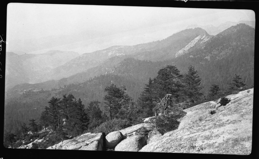
East Fork Kaweah River Canyon, Milk Ranch Peak, Type Map.
SEKI Historic Image
East Fork Kaweah River Canyon, Milk Ranch Peak, Type Map.
National Park Service
D.F. Schlobohm, 361023, Paradise Peak area, SNP, East Fork Kaweah River Canyon, Milk Ranch Peak, Type Map.
Permission must be secured from the individual copyright owners to reproduce any copyrighted materials contained within this website. Digital assets without any copyright restrictions are public domain.
Public domain
Image
Paradise Peak area, Tulare County, California
10/23/1936
option 1
Public Can View
Tuesday, January 10, 2017 12:59:37 PM
Tuesday, January 10, 2017 12:59:37 PM
08257.tif
Monday, January 1, 0001 12:00:00 AM
tif
15.4 MB
Scenic
,
Historic