Select Item below to DOWNLOAD - Once item is selected, right click and choose 'save as'
ad95a842-a71a-4c4a-9c0e-bc3e5b989b6e
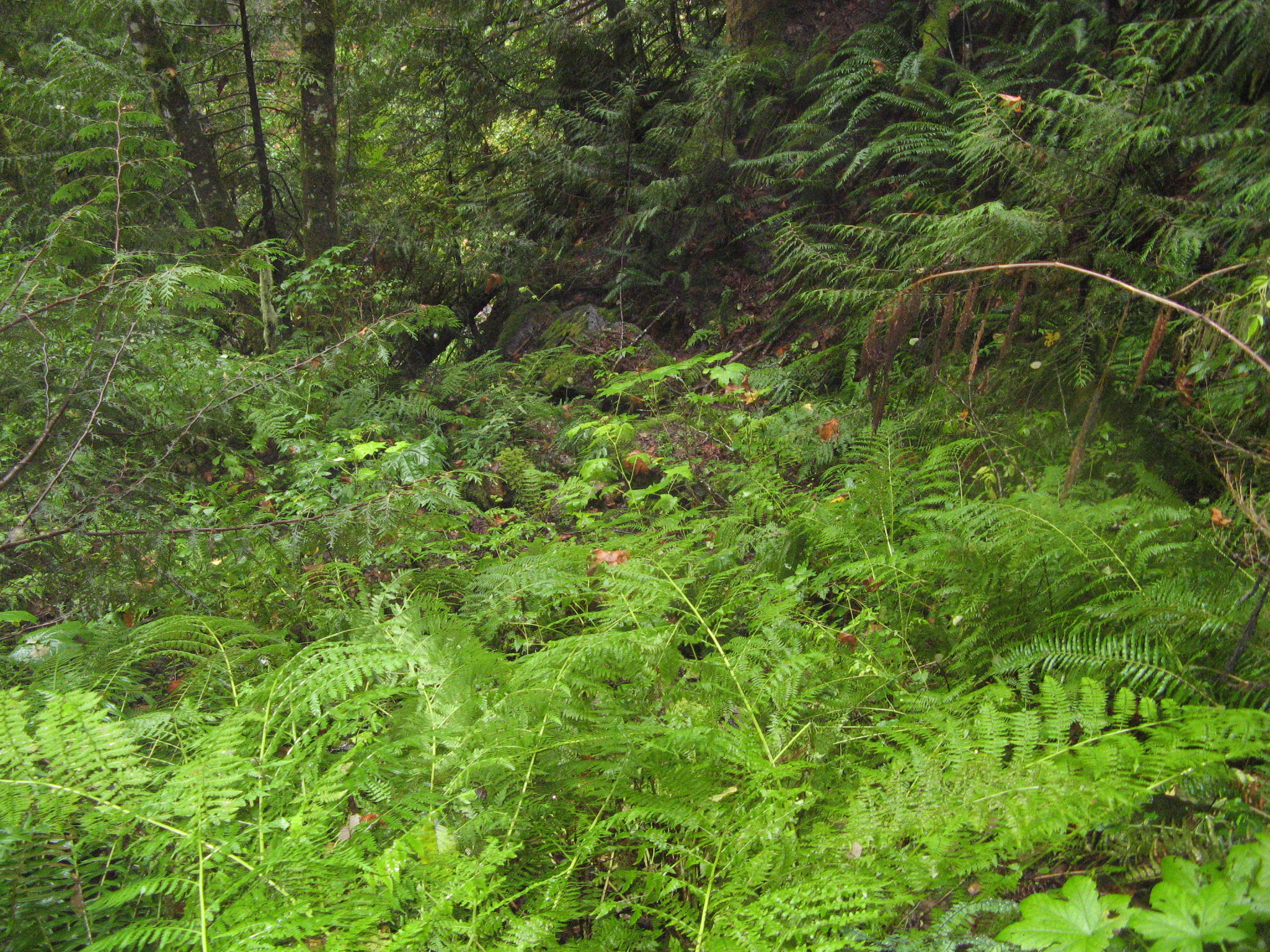
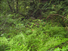
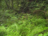
ROLA-Skagit Talc Mine site, feature SM-01 - AML assessment, Ross Lake NP, Oct 2011
Skagit Talc Mine AML site, Ross Lake NP. Overgrown highwall/quarry. Images captured Oct 03, 2011 as part of AML assessment project.
View N Overgrown level area below highwall
Permission must be secured from the individual copyright owners to reproduce any copyrighted materials contained within this website. Digital assets without any copyright restrictions are public domain.
Restrictions apply on use and/or reproduction:Abandoned mineral features may pose safety hazards, be archeological sites, or be endangered species habitat.
Image
Ross Lake National Recreation Area, Code: ROLA
Ross Lake National Recreation Area, Washington
Latitude: 48.7055206298828, Longitude: -121.174499511719
Latitude: 48.7055206298828, Longitude: -121.174499511719
Abandoned Mineral Lands ID : ROLA-Skagit Talc Mine-SM-01
NPS Metadata Globally Unique Identifier : de44d394-01a8-4195-adf8-6217826e766a
Legacy NPS Focus Record ID : 479564
NPS Metadata Globally Unique Identifier : de44d394-01a8-4195-adf8-6217826e766a
Legacy NPS Focus Record ID : 479564
10/03/2011
10/03/2011
Public Can View
Tuesday, August 28, 2012 6:52:41 PM
Thursday, August 10, 2017 6:00:32 AM
ROLA-19816c710c5b4cf5b0d0398ec42582e0.jpg
Canon Canon, Canon PowerShot A710 IS
1/60 sec at f / 2.8
5.8 mm
Monday, October 3, 2011 7:45:55 PM
jpg
1.9 MB
Inventory