Select Item below to DOWNLOAD - Once item is selected, right click and choose 'save as'
ad93a553-1564-4269-a6ab-7d1de63891af
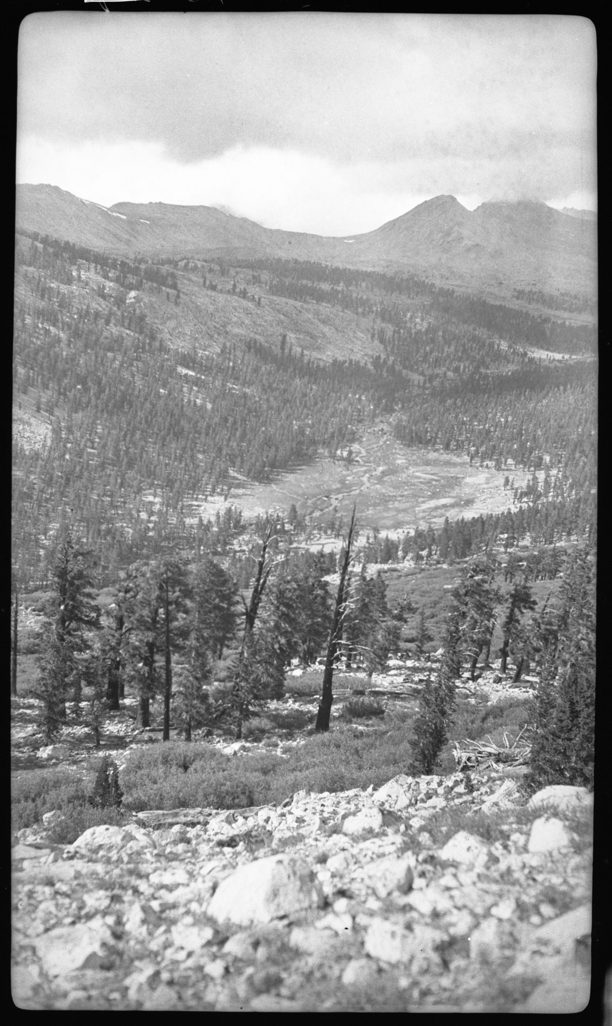
Misc. Canyons, Tynall Creek Canyon, 1/2 mi. S of ranger station. 11,100' Type Map, Subalpine Forest Plant Community.
SEKI Historic Image
Misc. Canyons, Tynall Creek Canyon, 1/2 mi. S of ranger station. 11,100' Type Map, Subalpine Forest Plant Community.
National Park Service
Akey, 360904, Tyndall Creek, SNP, Misc. Canyons, Tynall Creek Canyon, 1/2 mi. S of ranger station. 11,100' Type Map, Subalpine Forest Plant Community.
Permission must be secured from the individual copyright owners to reproduce any copyrighted materials contained within this website. Digital assets without any copyright restrictions are public domain.
Public domain
Image
Tyndall Creek, Tulare County, California
09/04/1936
option 1
Tuesday, January 10, 2017 1:03:17 PM
Tuesday, January 10, 2017 1:03:17 PM
08181.tif
Monday, January 1, 0001 12:00:00 AM
tif
14.5 MB
Scenic
,
Historic