Select Item below to DOWNLOAD - Once item is selected, right click and choose 'save as'
a7f10544-5aea-4b66-b23a-ededb64c14cd
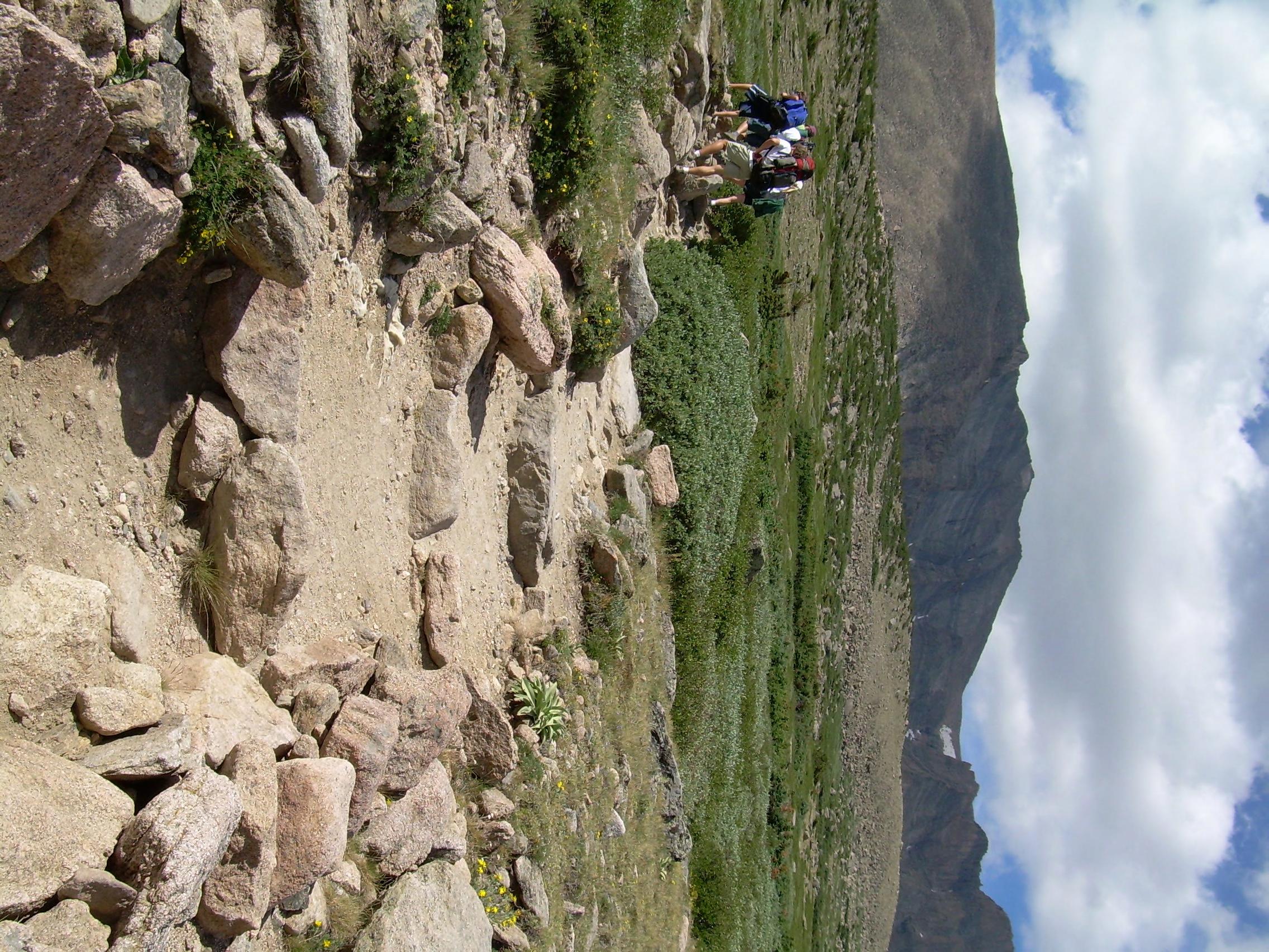
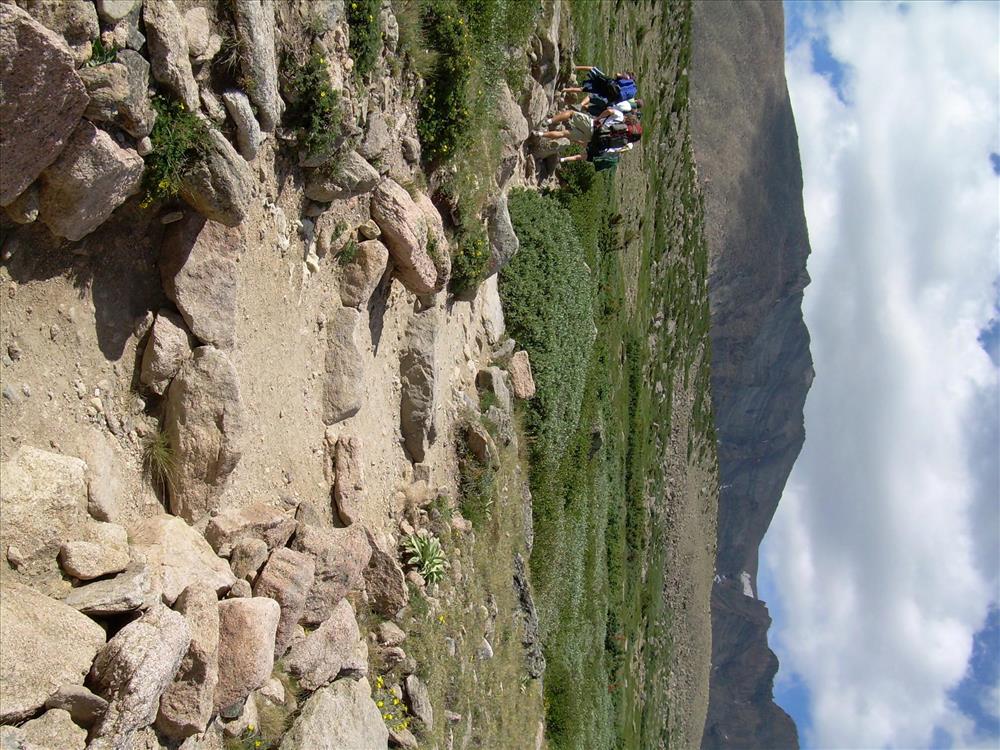
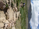
Tread, WM#,Gravel,Class III, FT,S1 LP-04
This image was captured during the Facilities Management GIS project to document assets that are included in FMSS.
Same image as pt. 1 before visible watermark was applied
U.S. National Park Service
Brian Diethorn;NPS Park Facility Management Program;GIS Data Manager;Brian_Diethorn@contractor.nps.gov
Permission must be secured from the individual copyright owners to reproduce any copyrighted materials contained within this website. Digital assets without any copyright restrictions are public domain.
Public domain:This image was added as part of a large batch project. Some images in the batch job are in the public domain and some may be copyrighted by a contracting photographer. To determine the restrictions that may apply to the image(s) on this record, contact the author to request further information.
Asset inventory, ()
, Facility Management GIS Data Collection, ()
, NPS Equipment, ()
, Tread - Trail, Begining, ()
, Facility Management GIS Data Collection, ()
, NPS Equipment, ()
, Tread - Trail, Begining, ()
Image
Rocky Mountain National Park, Code: ROMO
Park Facility Management Division GIS Program, Code: PFMD-GIS
Park Facility Management Division GIS Program, Code: PFMD-GIS
Rocky Mountain National Park, Colorado
Latitude: 40.27085215, Longitude: 105.58422741
Latitude: 40.27085215, Longitude: 105.58422741
FMSS (Equipment/Feature Number) : 535023
FMSS (WBS Sub Component) : G203003
NPS Metadata Globally Unique Identifier : {1873E070-824B-4704-BB5D-3D3C1820563B}
Legacy NPS Focus Record ID : 244498
FMSS (WBS Sub Component) : G203003
NPS Metadata Globally Unique Identifier : {1873E070-824B-4704-BB5D-3D3C1820563B}
Legacy NPS Focus Record ID : 244498
07/20/2007
Public Can View
Friday, August 22, 2008 12:16:00 AM
Thursday, August 10, 2017 5:24:05 AM
romo-3cf77b0f5c504ab9bbdf36009822a389.jpg
Monday, January 1, 0001 12:00:00 AM
jpg
796.3 kB
Inventory