Select Item below to DOWNLOAD - Once item is selected, right click and choose 'save as'
a7b3f531180949859ab92d08d0c88b9f
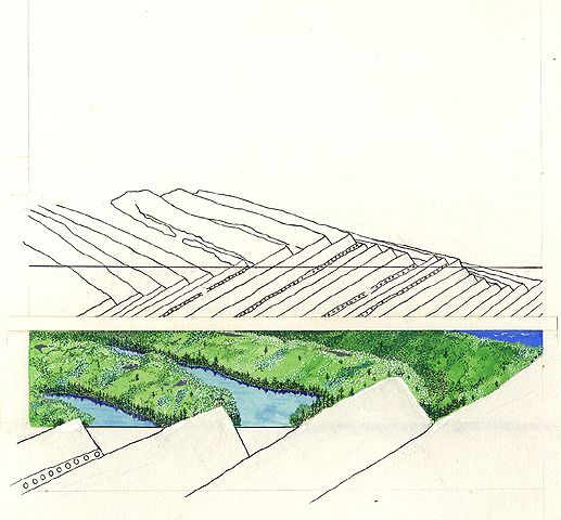
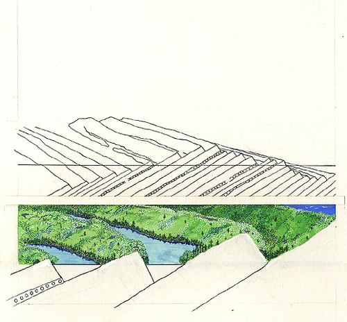
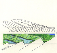
A two-part geologic island formation diagram shows the sedimentary rock layers and lava layers making up Isle Royale National Park. The illustration below shows the sedimentary rock layer as the source of island ridges.
A two-part geologic island formation diagram shows the sedimentary rock layers and lava layers making up Isle Royale National Park. The illustration below shows the sedimentary rock layer as the source of island ridges.
Abbr=PUB
U.S. National Park Service
Project=Handbook ; Reflective Art
Government owns art and all reproduction rights.
Public domain
Image
Isle Royale National Park, Code: ISRO
Isle Royale National Park, Keweenaw County, Michigan
Latitude: 48.0108985900879, Longitude: -88.828498840332
Latitude: 48.0108985900879, Longitude: -88.828498840332
Image Management System : IMS 10761
20190904
01/01/1976 - 12/30/1976
Image_Size=12-1/8" x 10-3/8"; Count:1/5; HFC-Publications' "The Life of Isle Royale" handbook, page 8
MC A2
Public Can View
Organization: Harpers Ferry Center
Address: Harpers Ferry Center, 67 Mather Place, Harpers Ferry, WV, 25425, 304-535-5050
Address: Harpers Ferry Center, 67 Mather Place, Harpers Ferry, WV, 25425, 304-535-5050
Monday, October 7, 2019 2:32:11 PM
Monday, October 7, 2019 2:32:11 PM
10761.jpg
jpg
274.7 kB
Museum