Select Item below to DOWNLOAD - Once item is selected, right click and choose 'save as'
a58b5df0-06f4-440b-85a9-cbaa5de7f3d4
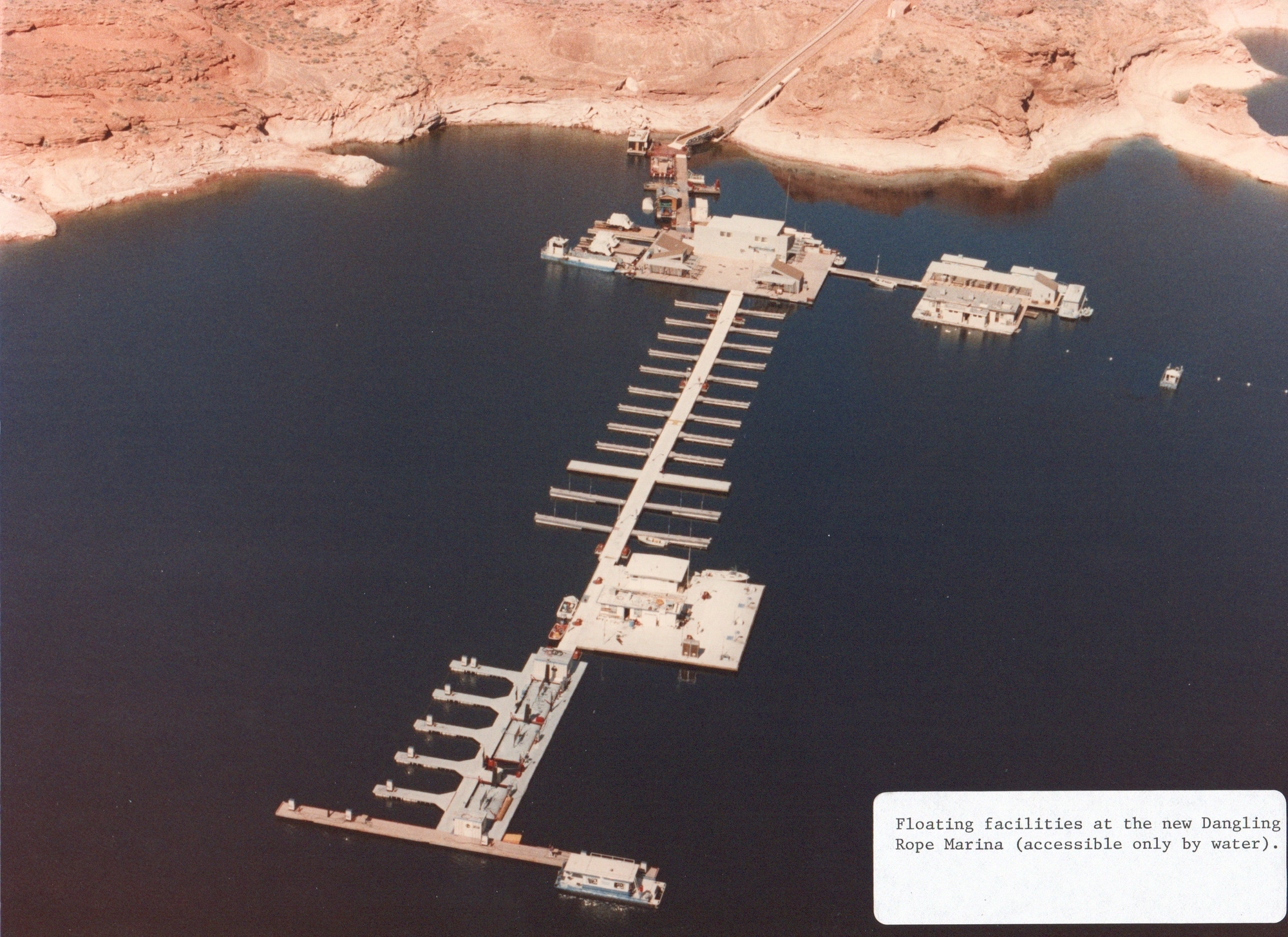
Dangling Rope Marina Opening March 1986 001
Aerial view of a calm desert lake. A set of boat slips and fuel pumps on a dock are anchored to the back of a sandstone canyon. Label in the Corner: Floating facilities at the new Dangling Rope Marina (accessible only by water).
Floating facilities at the new Dangling Rope Marina (accessible only by water).
Permission must be secured from the individual copyright owners to reproduce any copyrighted materials contained within this website. Digital assets without any copyright restrictions are public domain.
NPS
Public domain:Full Granting Rights
Image
Rainbow Bridge National Monument, Code: RABR
Glen Canyon National Recreation Area, Code: GLCA
Glen Canyon National Recreation Area, Code: GLCA
Dangling Rope Canyon, Glen Canyon National Recreation Area, Kane County, Utah
Latitude: 37.1486015319824, Longitude: -111.136001586914
Latitude: 37.1486015319824, Longitude: -111.136001586914
03/01/1986
01/10/2022
Public Can View
Friday, September 27, 2024 2:45:20 PM
Friday, September 27, 2024 3:24:49 PM
PHOTO_DanglingRopeOpening_DR_19860301_001.jpg
Monday, January 10, 2022 8:17:38 AM
jpg
3.1 MB
Scenic