Select Item below to DOWNLOAD - Once item is selected, right click and choose 'save as'
a272a142-2694-439a-82c6-24dd3a184dc4
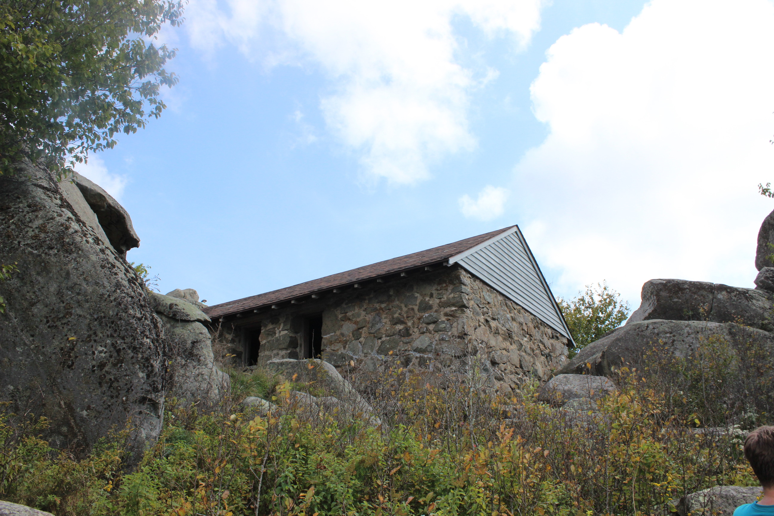
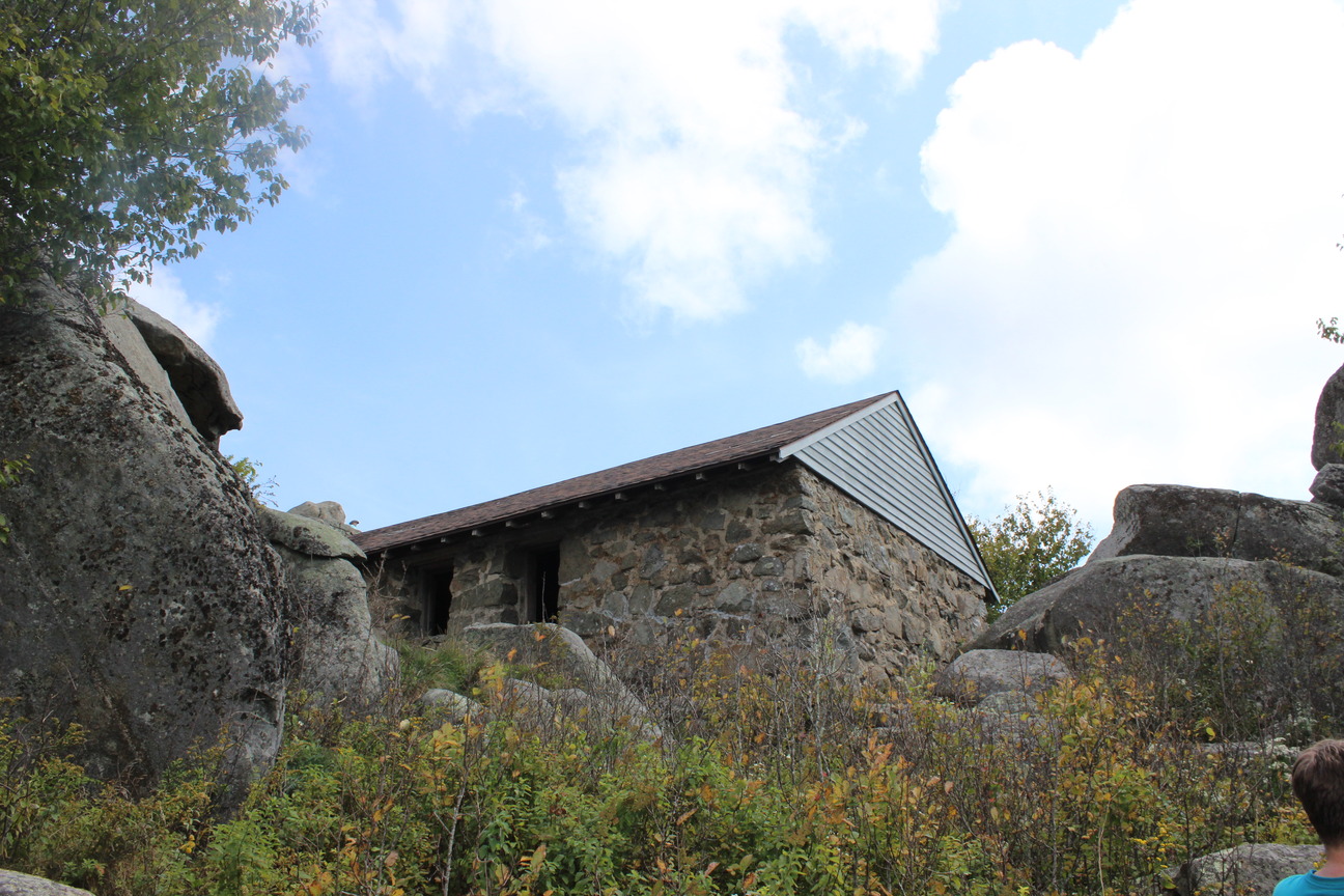
Sharp Top Structure
Sharp Top Structure
Sharp Top Structure
Permission must be secured from the individual copyright owners to reproduce any copyrighted materials contained within this website. Digital assets without any copyright restrictions are public domain.
Public domain:Full Granting Rights
Image
Blue Ridge Parkway, Code: BLRI
Blue Ridge Parkway
Latitude: 36.4365005493164, Longitude: -81.070556640625
Latitude: 36.4365005493164, Longitude: -81.070556640625
09/14/2021
09/14/2021
Public Can View
Tuesday, September 28, 2021 7:11:36 AM
Tuesday, September 28, 2021 7:22:30 AM
Sharp Top Structure.JPG
Canon Canon, Canon EOS REBEL T3i
1/200 sec at f / 16
18 mm
ISO 400
Wednesday, September 15, 2021 5:21:04 AM
jpg
7.5 MB
Scenic