Select Item below to DOWNLOAD - Once item is selected, right click and choose 'save as'
a236e5bc-8f66-43e9-aae7-40eeb4d76088
Theodore Roosevelt Island
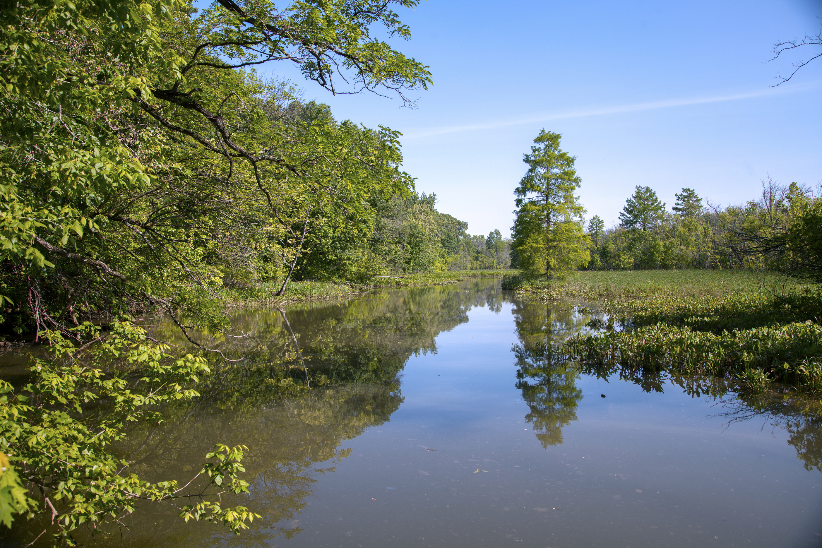
A marsh area filled with water and green vegetation
The lowlands on Theodore Roosevelt Island
Permission must be secured from the individual copyright owners to reproduce any copyrighted materials contained within this website. Digital assets without any copyright restrictions are public domain.
NPS Photo/Marcey Frutchey
Public domain:Full Granting Rights
Image
Theodore Roosevelt Island, Code: THIS
Theodore Roosevelt Island, District of Columbia , District of Columbia
Latitude: 38.8958015441895, Longitude: -77.0624008178711
Latitude: 38.8958015441895, Longitude: -77.0624008178711
05/20/2016
05/20/2016
Public Can View
Monday, February 25, 2019 11:34:39 AM
Monday, February 25, 2019 11:34:39 AM
NAMA_THIS_Events_BioBlitz 2016_MF_20160520_10.jpg
Canon Canon, Canon EOS 5D Mark II 100, EF24-105mm f/4L IS USM
1/80 sec at f / 5.6
28 mm
ISO 100
Friday, May 20, 2016 2:35:17 PM
jpg
20.1 MB
Scenic