Select Item below to DOWNLOAD - Once item is selected, right click and choose 'save as'
DA712750-1DD8-B71B-0B118A47D8A2F193
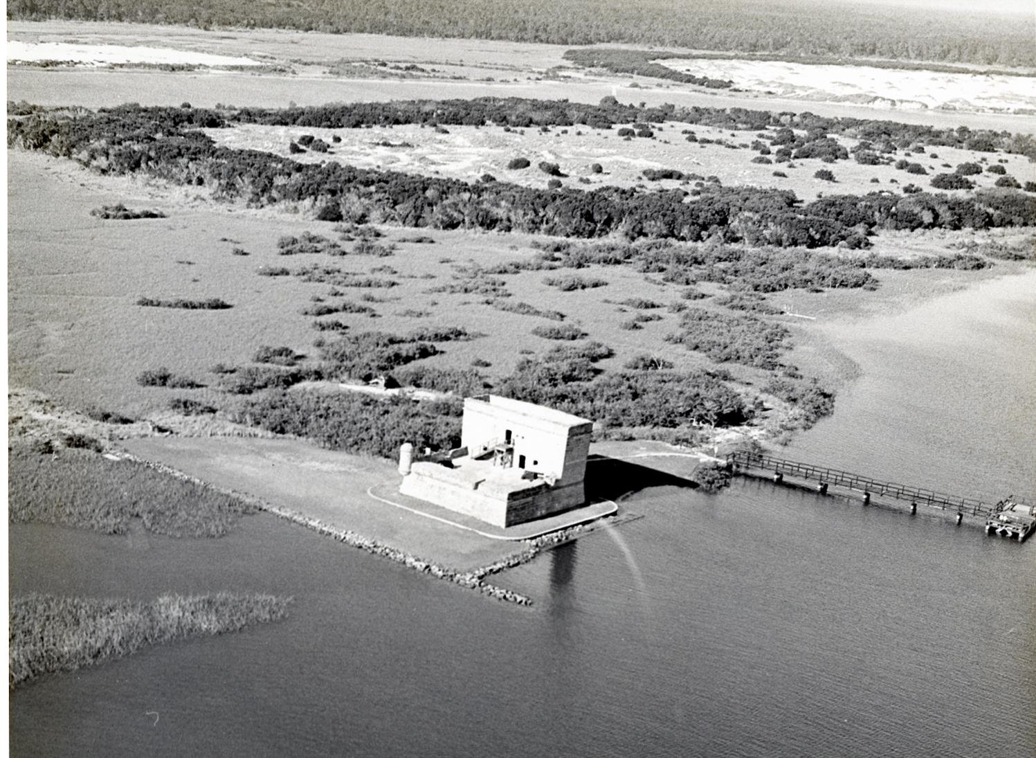
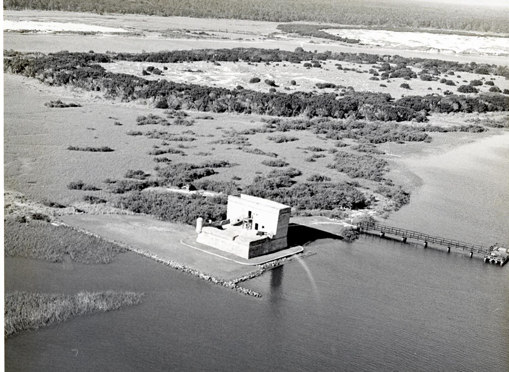
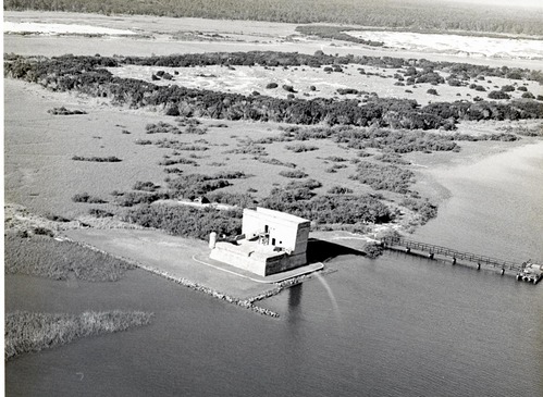
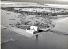
Aerial view of Fort Matanzas in the 1970s
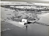
Aerial view of Fort Matanzas in the 1970s
This image shows how much land was later added to preserve the fort's foundations.
U.S. National Park Service
Permission must be secured from the individual copyright owners to reproduce any copyrighted materials contained within this website. Digital assets without any copyright restrictions are public domain.
NPS
Public domain:Full Granting Rights
Image
Fort Matanzas National Monument, Code: FOMA
Fort Matanzas National Monument
Latitude: 29.7152786254883, Longitude: -81.2391662597656
Latitude: 29.7152786254883, Longitude: -81.2391662597656
Public Can View
Monday, January 1, 2018 3:42:12 AM
Monday, January 1, 2018 3:42:12 AM
DA7B699A-1DD8-B71B-0B431CB349E79956.jpg
Monday, January 1, 0001 12:00:00 AM
jpg
293.2 kB
Scenic