Latitude: 26.7036590576172, Longitude: -97.3406829833984
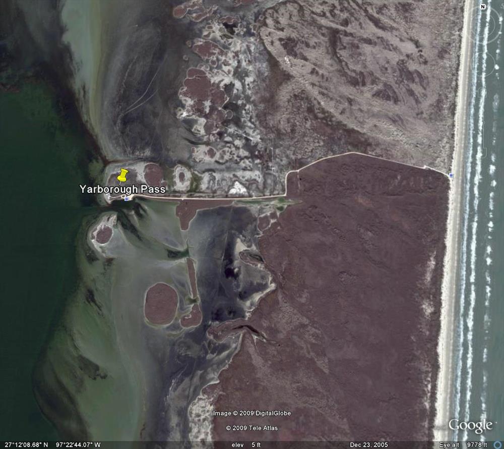
Satellite Images of PAIS from Google Earth -- dated May 9, 2003
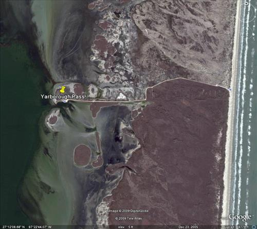
Satellite Images of PAIS from Google Earth -- dated May 9, 2003
Satellite Images of PAIS from Google Earth -- dated May 9, 2003
Satellite Images of PAIS from Google Earth -- dated May 9, 2003
Satellite Images of PAIS from Google Earth -- dated May 9, 2003
Satellite Images of PAIS from Google Earth -- dated May 9, 2003
Satellite Images of PAIS from Google Earth -- dated May 9, 2003
Satellite Images of PAIS from Google Earth -- dated May 9, 2003
Satellite Images of PAIS from Google Earth -- dated May 9, 2003