Select Item below to DOWNLOAD - Once item is selected, right click and choose 'save as'
9f77b8c5-34af-4fe7-961f-20fc5a9f51cf
W_Ship_Island
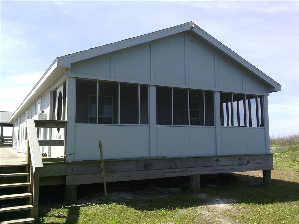
00000M44 WSI Bunkhouse/Housing (MS44)
99697
4100
Permission must be secured from the individual copyright owners to reproduce any copyrighted materials contained within this website. Digital assets without any copyright restrictions are public domain.
Public domain
Asset Inventory, (NPS Focus Subject Thesaurus)
, Buildings, (NPS Focus Subject Thesaurus)
, Elevations, (NPS Focus Subject Thesaurus)
, FMSS, (NPS Focus Subject Thesaurus)
, Buildings, (NPS Focus Subject Thesaurus)
, Elevations, (NPS Focus Subject Thesaurus)
, FMSS, (NPS Focus Subject Thesaurus)
Image
Gulf Islands National Seashore, Code: GUIS
Gulf Islands National Seashore, Mississippi
Latitude: 30.3730602264404, Longitude: -86.9099731445313, Elevation: 2.162
Latitude: 30.3730602264404, Longitude: -86.9099731445313, Elevation: 2.162
FMSS (Location Number) : 99697
04/22/2015
04/22/2015
Public Can View
Organization: FMGIS
Email: Brian_Diethorn@partner.nps.gov
Email: Brian_Diethorn@partner.nps.gov
Monday, November 9, 2015 3:18:37 PM
Thursday, August 10, 2017 4:22:00 AM
99697_042215_121238[2].jpg
Pegatron Pegatron, Getac Z710
990/1000000 sec at f / 2.8
3.37 mm
ISO 71
Wednesday, April 22, 2015 5:13:34 PM
jpg
2.4 MB
Source: ELEVATIONNAVD88
Content: 2.162
Content: 2.162
Inventory