Latitude: 32.9766998291016, Longitude: -85.7341003417969
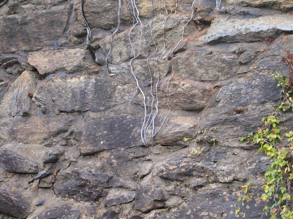
Images of the remnants of Miller Covered Bridge at Horseshoe Bend NMP in October 2007
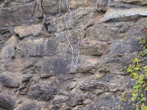
Images of the remnants of Miller Covered Bridge at Horseshoe Bend NMP in October 2007
Images of the remnants of Miller Covered Bridge at Horseshoe Bend NMP in October 2007
Images of the remnants of Miller Covered Bridge at Horseshoe Bend NMP in October 2007
Images of the remnants of Miller Covered Bridge at Horseshoe Bend NMP in October 2007
Images of the remnants of Miller Covered Bridge at Horseshoe Bend NMP in October 2007
Images of the remnants of Miller Covered Bridge at Horseshoe Bend NMP in October 2007
Images of the remnants of Miller Covered Bridge at Horseshoe Bend NMP in October 2007
Images of the remnants of Miller Covered Bridge at Horseshoe Bend NMP in October 2007
Images of the remnants of Miller Covered Bridge at Horseshoe Bend NMP in October 2007
Images of the remnants of Miller Covered Bridge at Horseshoe Bend NMP in October 2007
Images of the remnants of Miller Covered Bridge at Horseshoe Bend NMP in October 2007
Images of the remnants of Miller Covered Bridge at Horseshoe Bend NMP in October 2007
Images of the remnants of Miller Covered Bridge at Horseshoe Bend NMP in October 2007