Select Item below to DOWNLOAD - Once item is selected, right click and choose 'save as'
9dbb2ff79e2141b1b382978a53959cdd
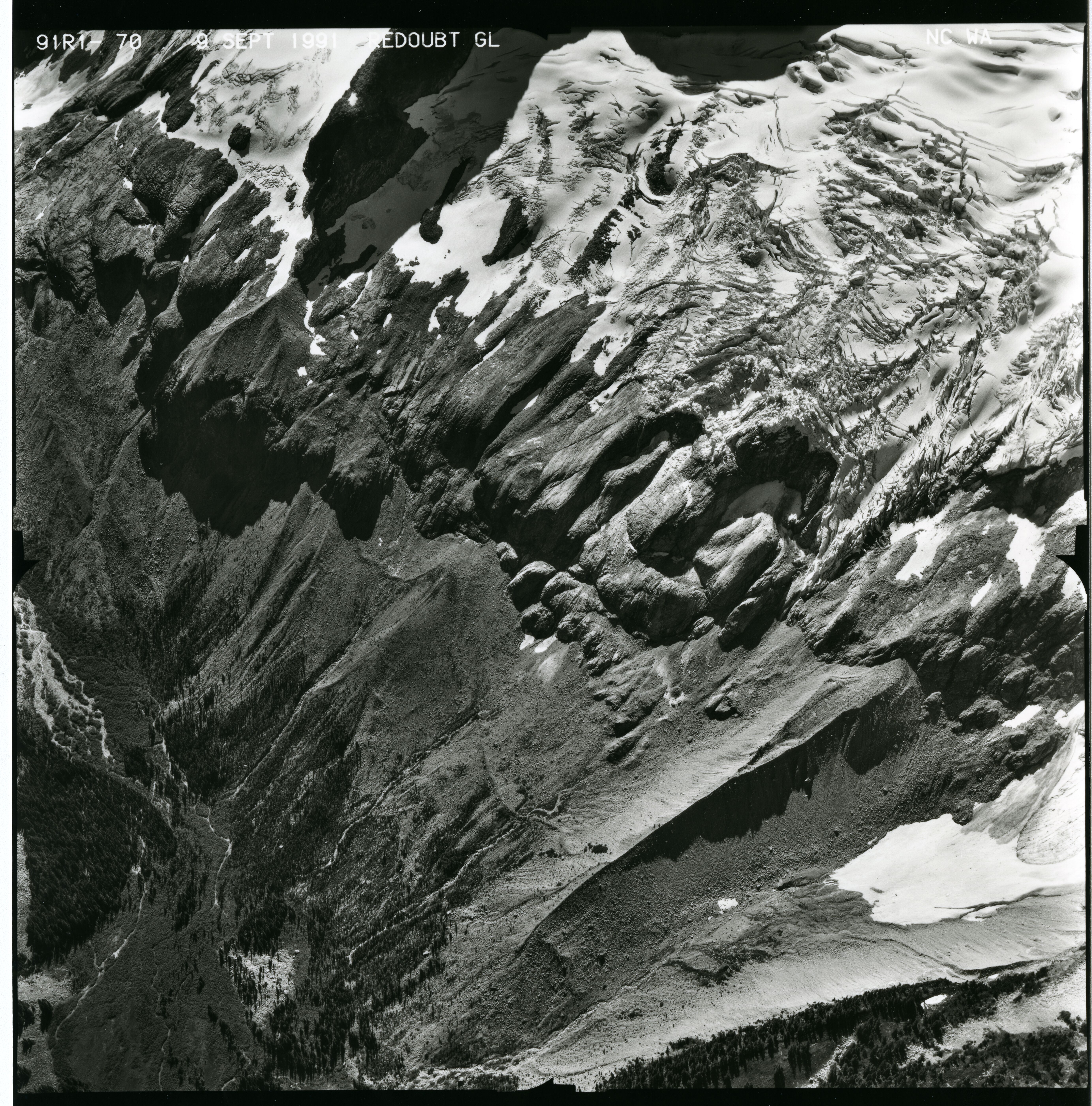
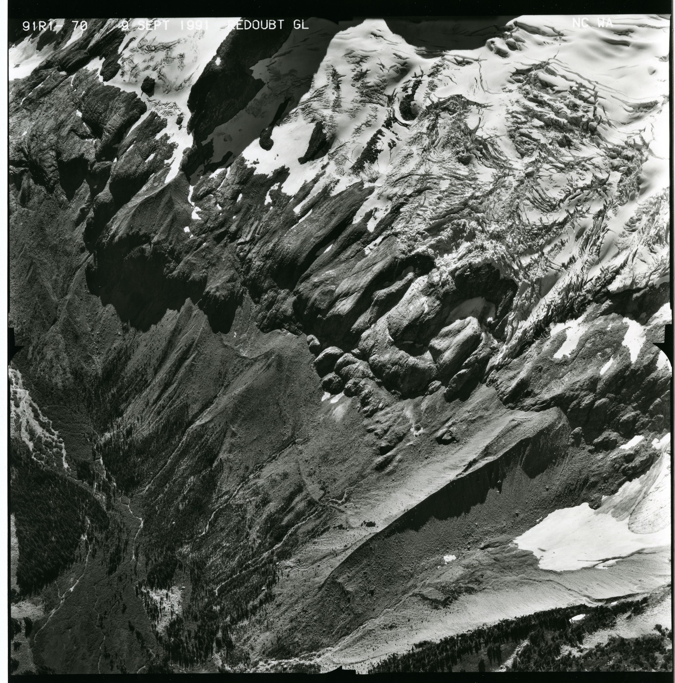
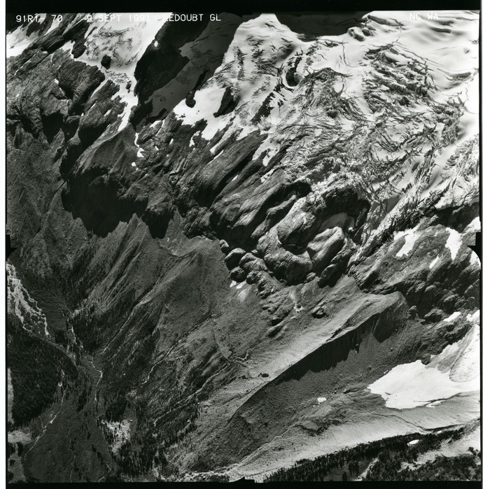
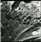
Mount Redoubt, 1991, 91R1-70
Black and white aerial photograph of glaciated mountain peaks and valleys.
Aerial photograph of glaciers on Mount Redoubt, 1991, 1 of 3
U.S. National Park Service
This digital asset is in the public domain. When using this asset for any purpose, including online, credit: 'Courtesy of North Cascades NPS Complex Museum Collection, Aerial Photograph Collection.'
Public domain
Mount Redoubt, (Glacier)
Image
North Cascades National Park, Code: NOCA
Mount Redoubt
North Cascades National Park, Washington
Latitude: 48.8278884887695, Longitude: -121.35050201416
North Cascades National Park, Washington
Latitude: 48.8278884887695, Longitude: -121.35050201416
ICMS Archives Module : NOCA.0009.04.05.004
20191127
09/09/1991
Aerial photograph
Marblemount Curation Facility
Public Can View
Person: NOCA Curator
Organization: North Cascades NPS Complex
Position: Museum Curator
Address: 7280 Ranger Station Road, Marblemount, WA 98267
Email: NOCA_Curator@nps.gov.
Organization: North Cascades NPS Complex
Position: Museum Curator
Address: 7280 Ranger Station Road, Marblemount, WA 98267
Email: NOCA_Curator@nps.gov.
Thursday, September 10, 2020 4:56:24 PM
Thursday, September 10, 2020 4:56:24 PM
0009.04.05.004_Redoubt_1991_91R1-70.tif
tif
186.0 MB
Monitoring