Select Item below to DOWNLOAD - Once item is selected, right click and choose 'save as'
9d4e989b-d5e4-4455-baf7-c503dc423bc2
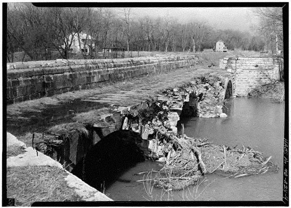
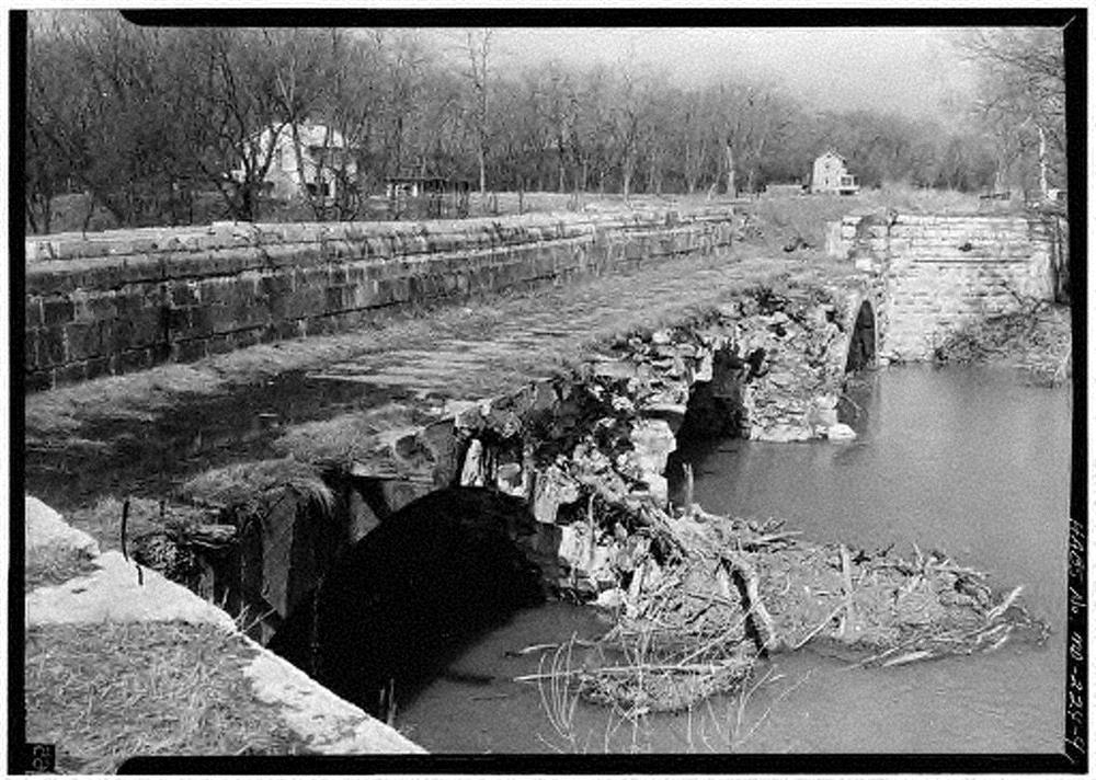
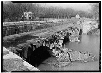
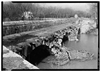
Chesapeake and Ohio Canal, Conococheague Creek Aqueduct
Chesapeake & Ohio Canal, Aqueduct No. 5
U.S. National Park Service
Contributors: R. V. Keune, delineator-1961; Jack E. Boucher, photographer, 1959-1960 || details, elevations, plans, sections || 99.8 miles above tidewater
Permission must be secured from the individual copyright owners to reproduce any copyrighted materials contained within this website. Digital assets without any copyright restrictions are public domain.
Public domain
Image
Chesapeake and Ohio Canal National Historical Park, Code: CHOH
HABS/HAER/HALS Programs, Code: HABS-HAER
HABS/HAER/HALS Programs, Code: HABS-HAER
Williamsport vicinity, Chesapeake and Ohio Canal National Historical Park, Washington County, Maryland
Latitude: 39.3241004943848, Longitude: -77.7242965698242
Latitude: 39.3241004943848, Longitude: -77.7242965698242
Title: For full record and additional images see Library of Congress, American Memory
URL: http://memory.loc.gov/cgi-bin/query/r?ammem/hh:@field(NUMBER+@band(md0627))
URL: http://memory.loc.gov/cgi-bin/query/r?ammem/hh:@field(NUMBER+@band(md0627))
MD,22-WILPO.V,2- in Library of Congress, Prints and Photograph Division, Washington, D.C. 20540 USA
Public Can View
Wednesday, September 29, 2004 6:26:19 PM
Thursday, August 10, 2017 4:00:57 AM
choh-candoconococheaguecraqueduct_4.jpg
Monday, January 1, 0001 12:00:00 AM
jpg
158.3 kB
Historic
Chesapeake and Ohio Canal, Conococheague Creek Aqueduct
Chesapeake and Ohio Canal, Conococheague Creek Aqueduct
Chesapeake and Ohio Canal, Conococheague Creek Aqueduct
Chesapeake and Ohio Canal, Conococheague Creek Aqueduct
Chesapeake and Ohio Canal, Conococheague Creek Aqueduct
Chesapeake and Ohio Canal, Conococheague Creek Aqueduct
Chesapeake and Ohio Canal, Conococheague Creek Aqueduct