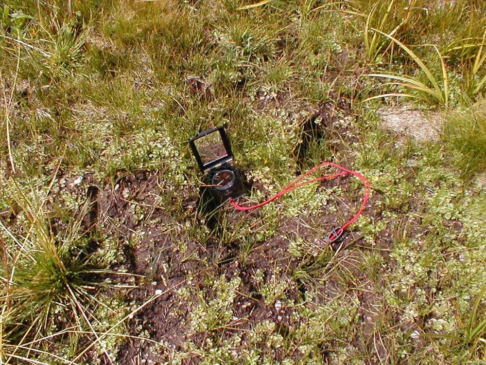
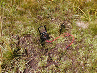
Sandy Meadow in Sept. 2003, Sequoia and Kings Canyon National Park
Between July and September 2003 the Stock Use and Meadow Monitoring Program at Sequoia and Kings Canyon National Parks conducted an environmental assessment of a number of wilderness meadows within the boundaries of the two parks. The image(s) included here are part of the digital image record created as part of those surveys.
Hoofprint impacts in saturated areas of the core plot
U.S. National Park Service
Ranger Station: Crabtree || Zone and meadow: 83-8
Permission must be secured from the individual copyright owners to reproduce any copyrighted materials contained within this website. Digital assets without any copyright restrictions are public domain.