Select Item below to DOWNLOAD - Once item is selected, right click and choose 'save as'
9b1fb833-ed1f-4936-b4e8-3dfd26219d8f
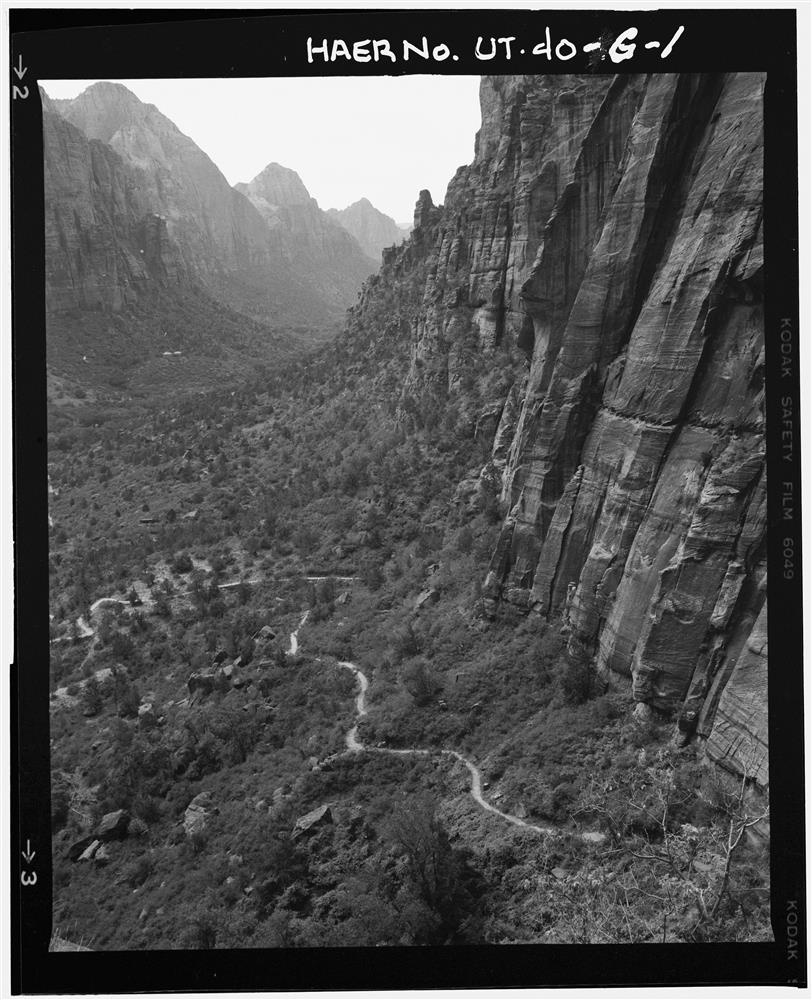
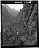
Zion National Park Historic Trails System, West Rim Trail
Permission must be secured from the individual copyright owners to reproduce any copyrighted materials contained within this website. Digital assets without any copyright restrictions are public domain.
Public domain
Trails, ()
Image
Zion National Park, Code: ZION
HABS/HAER/HALS Programs, Code: HABS-HAER
HABS/HAER/HALS Programs, Code: HABS-HAER
Springdale vicinity, Zion National Park, Washington County, Utah
Latitude: 37.3007011413574, Longitude: -113.033996582031
Latitude: 37.3007011413574, Longitude: -113.033996582031
Title: For full record and additonal images see Library of Congress, American Memory
URL: http://memory.loc.gov/cgi-bin/query/r?ammem/hh:@field(NUMBER+@band(ut0282))
URL: http://memory.loc.gov/cgi-bin/query/r?ammem/hh:@field(NUMBER+@band(ut0282))
UT,27-SPDA.V,1G-
Public Can View
Wednesday, September 29, 2004 6:23:57 PM
Thursday, August 10, 2017 3:44:10 AM
haer-ut-40-g.jpg
Monday, January 1, 0001 12:00:00 AM
jpg
2.5 MB
Historic