Select Item below to DOWNLOAD - Once item is selected, right click and choose 'save as'
9a3d0a5502f644788fa3819f292415ac
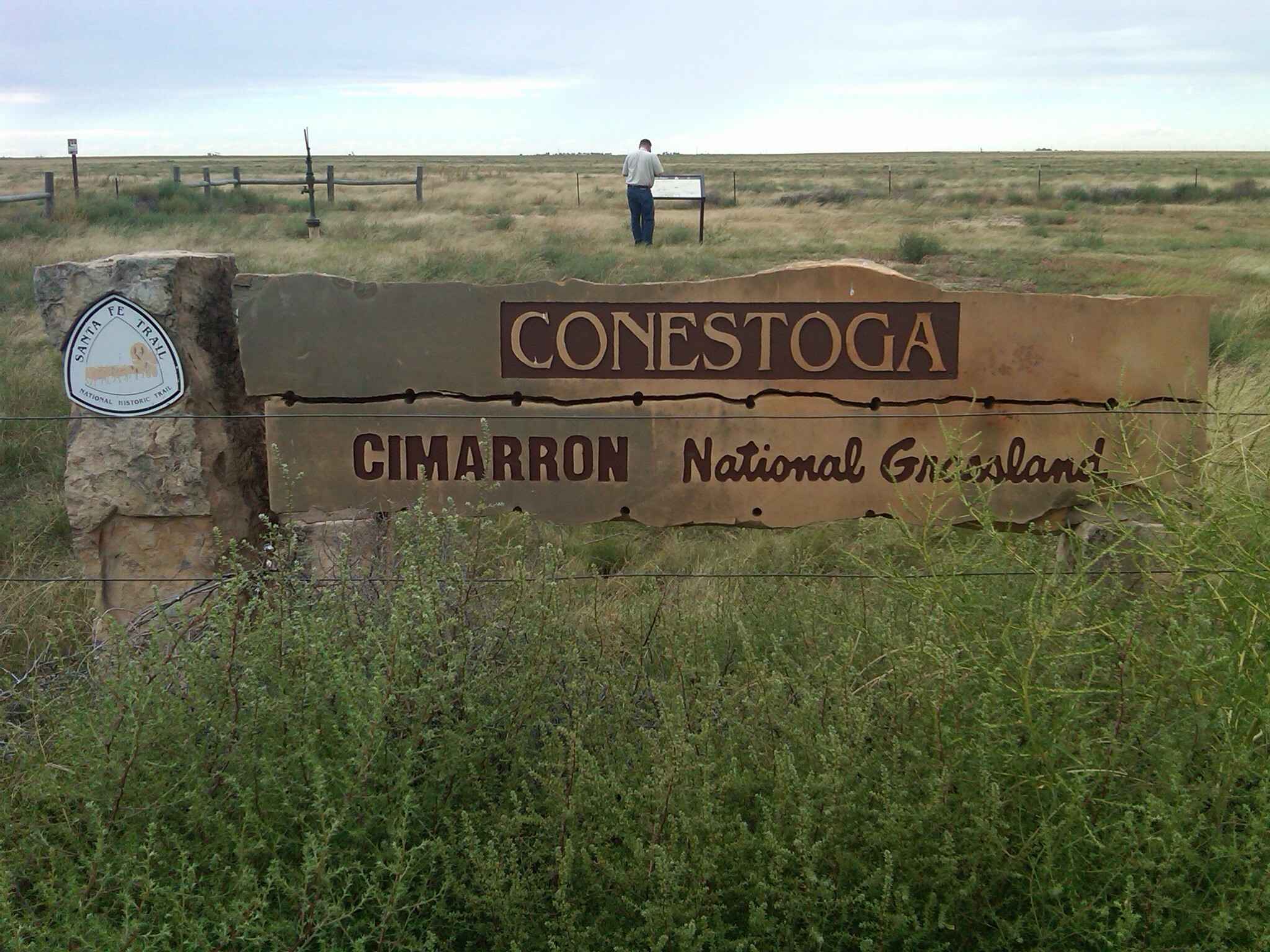
Conestoga, Cimarron National Grassland stone monument
Conestoga, Cimarron National Grassland stone monument
Monument and wayside on the prairie; The Santa Fe Trail’s Cimarron Route cuts diagonally through this grassland; https://www.nps.gov/nr/feature/places/13000136.htm; https://www.fs.usda.gov/rmrs/geography/cimarron-national-grassland
U.S. National Park Service
Permission must be secured from the individual copyright owners to reproduce any copyrighted materials contained within this website.
Public domain
Kansas, (SanteFe Trail State)
Image
Santa Fe National Historic Trail, Code: SAFE
Stevens County ; Cimarron National Grassland, Morton County, Kansas
Santa Fe National Historic Trail
Latitude: 37.9892997741699, Longitude: -99.3414993286133
Santa Fe National Historic Trail
Latitude: 37.9892997741699, Longitude: -99.3414993286133
20130927
09/27/2013
Shot On: BlackBerry 9650; Dimensions 2048 x 1536; 827.3 KB
Organization: US National Park Service
Address: PO Box 728, Santa Fe, New Mexico 87504, Phone:(505) 988-6098
Email: ntir_information@NPS.gov
Address: PO Box 728, Santa Fe, New Mexico 87504, Phone:(505) 988-6098
Email: ntir_information@NPS.gov
Tuesday, November 3, 2020 4:24:53 PM
Tuesday, November 3, 2020 4:24:53 PM
SAFE_KS_Cimarron NationalGrassland_20130927_NPS_(01).JPG
jpg
847.1 kB
Scenic
,
Historic