Select Item below to DOWNLOAD - Once item is selected, right click and choose 'save as'
99c692d4c318453db4f0f1ea4a870776
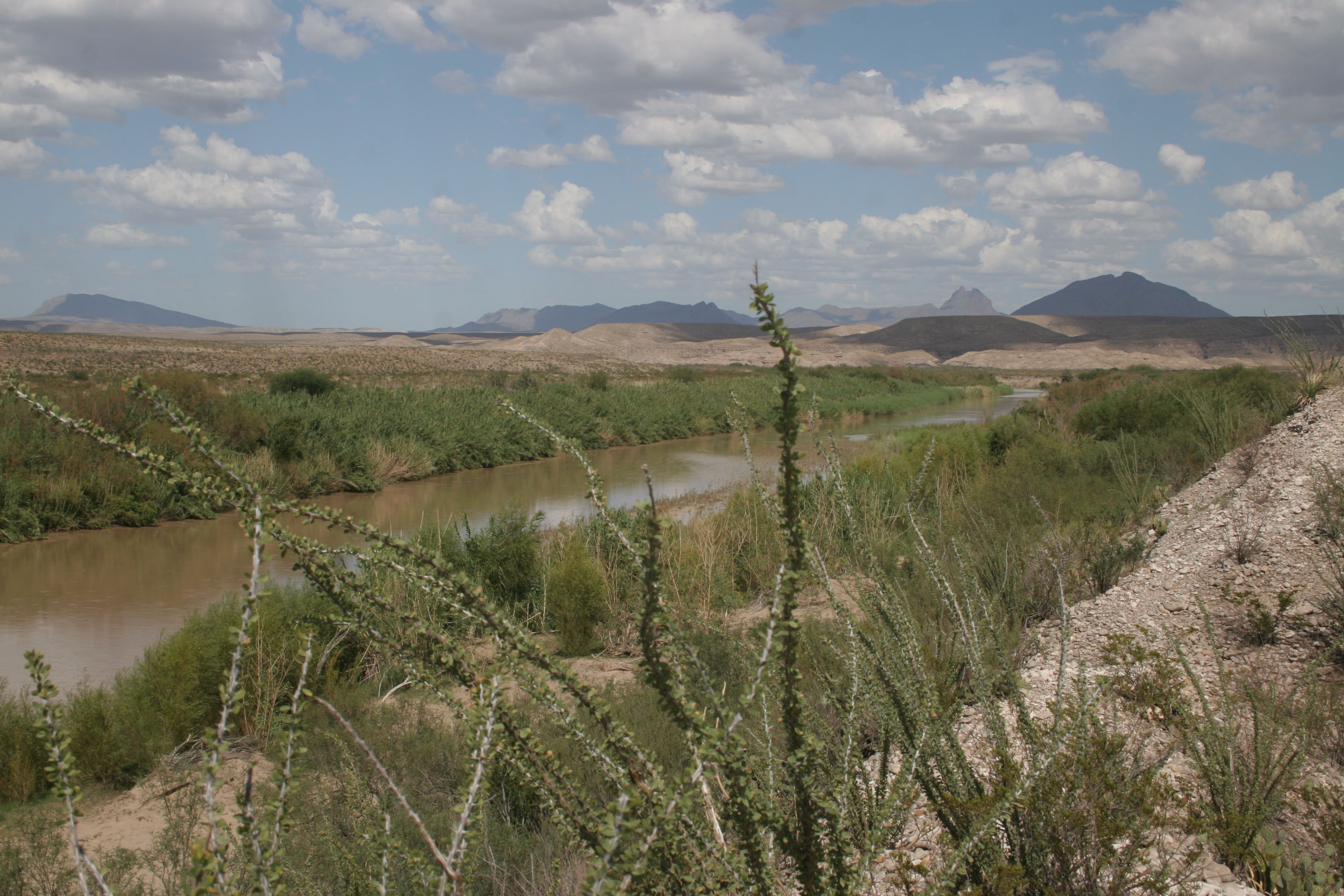
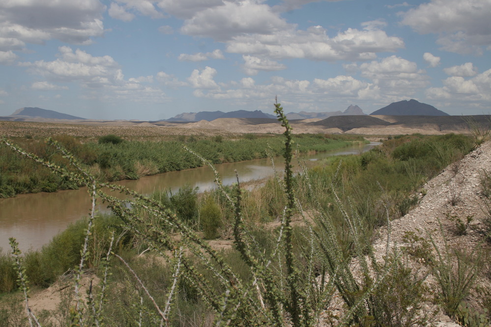
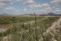
Boquillas Canyon. River Mile 788.0. July 2012.
Photo of the Rio Grande
Rio Grande vegetation monitoring, Boquillas Canyon area photopoint at river mile 788.0, July 2012.
U.S. National Park Service
This photopoint is on the Mexican side.
Permission must be secured from the individual copyright owners to reproduce any copyrighted materials contained within this website. Digital assets without any copyright restrictions are public domain.
NPS Photo
Public domain:This photo was taken by staff at Big Bend National Park and is part of the public domain.
Image
Big Bend National Park, Code: BIBE
Rio Grande Wild and Scenic River, Code: RIGR
Rio Grande Wild and Scenic River, Code: RIGR
Latitude: 3248811.586, Longitude: 706677.956
Big Bend National Park, Brewster County, Texas
Latitude: 29.3278388977051, Longitude: -103.205894470215
Rio Grande Wild and Scenic River, Texas
Big Bend National Park, Brewster County, Texas
Latitude: 29.3278388977051, Longitude: -103.205894470215
Rio Grande Wild and Scenic River, Texas
7/2012
07/01/2012 - 07/30/2012
Public Can View
Person: Resource Management
Organization: US National Park Service
Address: Big Bend National Park, P.O. Box 129, TX 79834-0129
Organization: US National Park Service
Address: Big Bend National Park, P.O. Box 129, TX 79834-0129
Saturday, May 2, 2020 10:03:42 AM
Saturday, May 2, 2020 10:03:42 AM
BIBE_RioGrande_RioGrandeVegMonitoring_788.0BoquillasCanyonR_20120730_10.JPG
jpg
3.6 MB
Monitoring