Select Item below to DOWNLOAD - Once item is selected, right click and choose 'save as'
96fc940b-05ca-4815-8088-a5e36fcc2f99
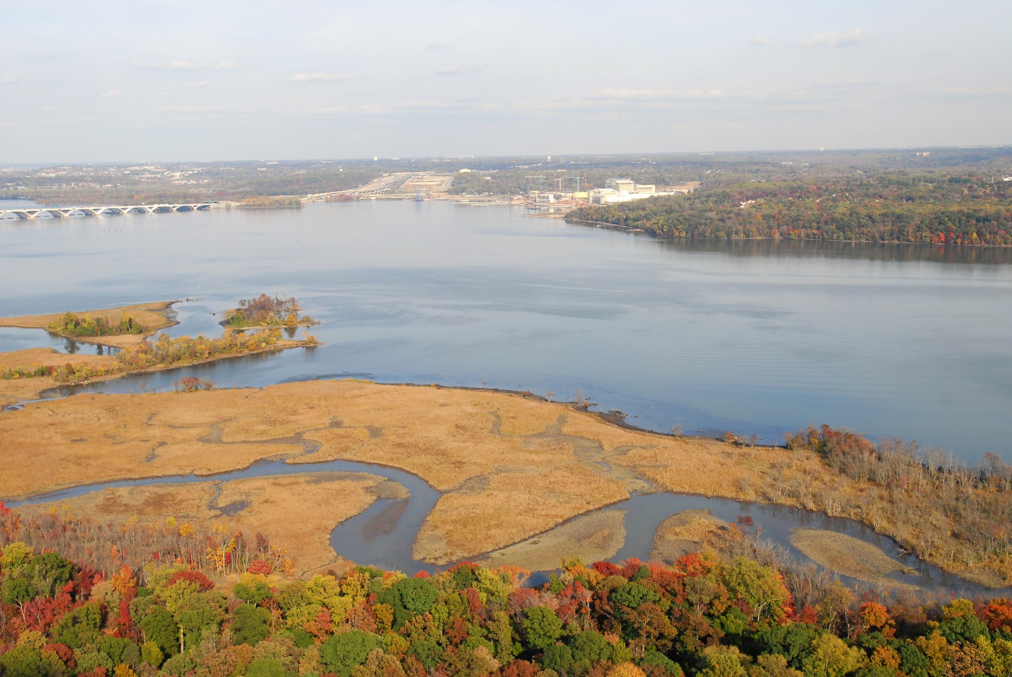
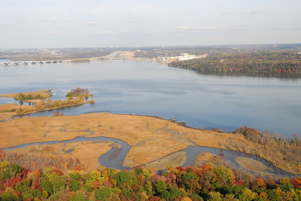
Aerial view of Dyke Marsh and the Potomac River below the Woodrow Wilson Bridge.
Aerial photo of Dyke Marsh and the Potomac River
Permission must be secured from the individual copyright owners to reproduce any copyrighted materials contained within this website. Digital assets without any copyright restrictions are public domain.
NPS
Public domain
Image
George Washington Memorial Parkway, Code: GWMP
Dyke Marsh, George Washington Memorial Parkway, Virginia
Latitude: 38.7102088928223, Longitude: -77.0632629394531
Latitude: 38.7102088928223, Longitude: -77.0632629394531
11/08/2007
11/08/2007
Public Can View
Person: Nathan King
Email: nathan_king@nps.gov
Email: nathan_king@nps.gov
Tuesday, July 31, 2018 12:43:15 PM
Tuesday, July 31, 2018 12:43:15 PM
an-aerial-view-of-dyke-marsh_19369562690_o.jpg
NIKON CORPORATION NIKON CORPORATION, NIKON D200
10/4000 sec at f / 9
28 mm
ISO 320
Thursday, November 8, 2007 10:16:29 PM
jpg
1.7 MB