Select Item below to DOWNLOAD - Once item is selected, right click and choose 'save as'
942880d4-c14e-4ac6-baf2-ea1df2241ba3
COLO
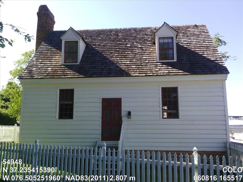
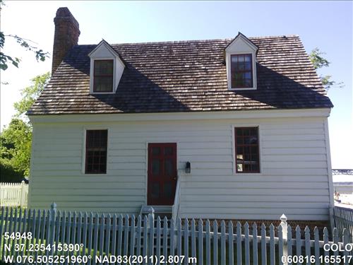
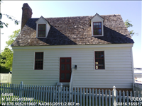
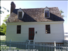
Archer Cottage 41Y252A1
Image with visible watermark of coordinates, elevations date, time and park code.
54948
4100
Permission must be secured from the individual copyright owners to reproduce any copyrighted materials contained within this website. Digital assets without any copyright restrictions are public domain.
Public domain
Asset Inventory, (NPS Focus Subject Thesaurus)
, Coastal, (NPS Focus Subject Thesaurus)
, Elevations, (NPS Focus Subject Thesaurus)
, FMSS, (NPS Focus Subject Thesaurus)
, Coastal, (NPS Focus Subject Thesaurus)
, Elevations, (NPS Focus Subject Thesaurus)
, FMSS, (NPS Focus Subject Thesaurus)
Image
Colonial National Historical Park, Code: COLO
Virginia
Latitude: 37.23541539, Longitude: -76.50525196, Elevation: 2.807
Latitude: 37.23541539, Longitude: -76.50525196, Elevation: 2.807
06/08/2016
06/08/2016
Public Can View
Organization: FMGIS
Email: Brian_Diethorn@partner.nps.gov
Email: Brian_Diethorn@partner.nps.gov
Tuesday, December 13, 2016 4:45:29 PM
Thursday, August 10, 2017 2:55:54 AM
54948_060816_165517_tag.jpg
Pegatron Pegatron, Getac Z710
1651/1000000 sec at f / 2.8
3.37 mm
ISO 71
Wednesday, June 8, 2016 10:53:54 PM
jpg
2.7 MB
Source: LOCALTIDAL_MSL
Content: 2.873
Content: 2.873
Inventory