Select Item below to DOWNLOAD - Once item is selected, right click and choose 'save as'
9362f30b-7b8c-4c4a-8192-bfae689ce713
Light Scattering
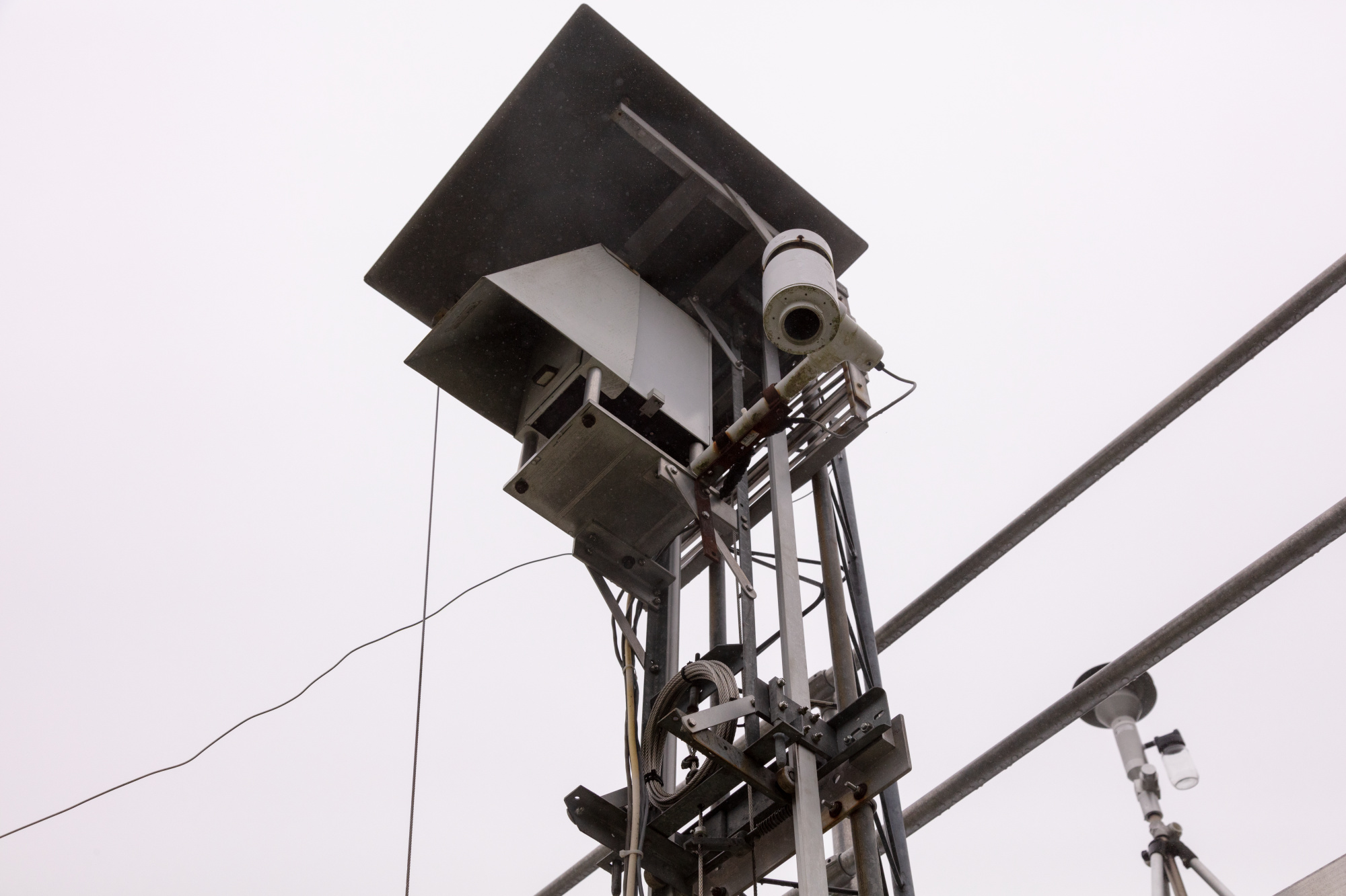
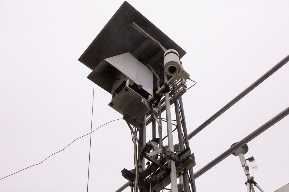
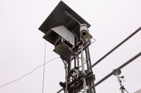
View of the nephelometer, a gray machine with wires and a white cylinder, from below.
This instrument, called a nephelometer, measures light scattering in real-time. These data provide a precise measurement of how air pollution affects what you can see every minute of the day! The National Park Service uses this information to help make decisions about how to preserve the beautiful views in parks. Similar instruments are used at airports to ensure that pilots can fly safely. The visibility distances (visual ranges) shown on the Shenandoah National Park webcam webpage and live data webpage are calculated using nephelometer data.
Permission must be secured from the individual copyright owners to reproduce any copyrighted materials contained within this website. Digital assets without any copyright restrictions are public domain.
Mary O'Neill
Public domain:Full Granting Rights
Image
Shenandoah National Park, Code: SHEN
Shenandoah National Park, Virginia
Latitude: 38.3517684936523, Longitude: -78.5008163452148
Latitude: 38.3517684936523, Longitude: -78.5008163452148
07/31/2018
07/31/2018
Public Can View
Mary O'Neill
Tuesday, February 26, 2019 8:41:40 AM
Tuesday, February 26, 2019 8:41:40 AM
Nephelometer.jpg
Canon Canon, Canon EOS 5DS R 800, EF24-105mm f/4L IS USM
1/2500 sec at f / 7.1
35 mm
ISO 800
Tuesday, July 31, 2018 4:53:06 PM
jpg
501.7 kB
Scenic