Select Item below to DOWNLOAD - Once item is selected, right click and choose 'save as'
93519afa-f157-4279-a237-8d787ece6c74
Anza Trail
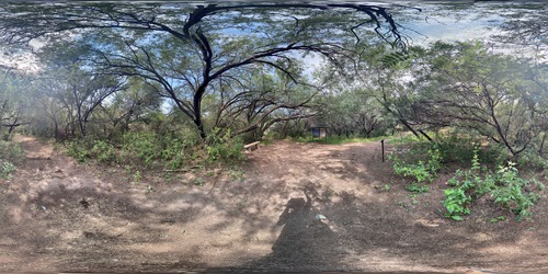
360 panoramic photo, mesquite trees, trails, bench, and wayside exhibit
"¡Vayan Subiendo!"("Everyone mount up!") was the rousing call from Juan Bautista de Anza. In 1775-76, he led some 240 men, women, and children on an epic journey to establish the first non-Native settlement at San Francisco Bay. Today, the 1,200-mile Juan Bautista de Anza National Historic Trail connects history, culture, and outdoor recreation from Nogales, Arizona, to the San Francisco Bay Area.
Permission must be secured from the individual copyright owners to reproduce any copyrighted materials contained within this website. Digital assets without any copyright restrictions are public domain.
NPS Photo
Public domain:Full Granting Rights
Image
Tumacacori National Historical Park, Code: TUMA
Tumacacori National Historical Park, Santa Cruz County, Arizona
Latitude: 31.5727996826172, Longitude: -111.047996520996
Latitude: 31.5727996826172, Longitude: -111.047996520996
04/10/2020
04/10/2020
Public Can View
Sunday, August 23, 2020 3:05:51 PM
Sunday, August 23, 2020 3:05:51 PM
2020-08 Anza Trail-junction-360 panoramic.JPG
jpg
5.9 MB
Scenic