Select Item below to DOWNLOAD - Once item is selected, right click and choose 'save as'
923b9bc9-9e53-43ea-b0df-e55af77c2c7e
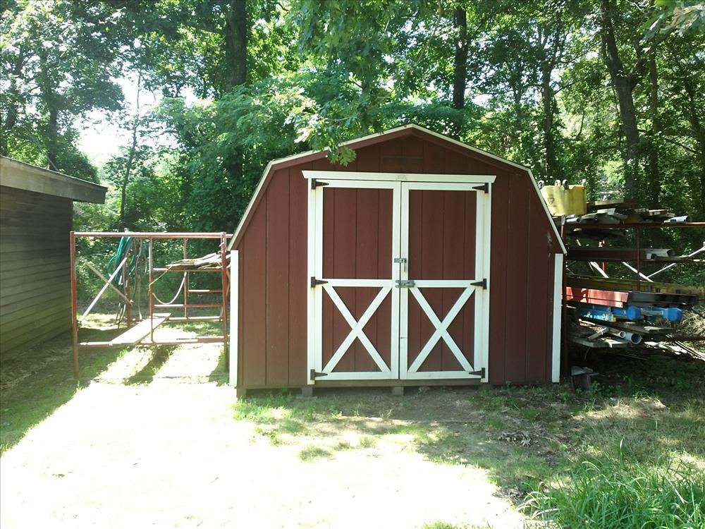
FIIS-William Floyd Estate Cultural Landscape Support Area
BU-WF-225-Window Storage Building
Image with visible watermark of coordinates, elevations date, time and park code.
100171
4100
Permission must be secured from the individual copyright owners to reproduce any copyrighted materials contained within this website. Digital assets without any copyright restrictions are public domain.
Public domain
FMSS, (NPS Focus Subject Thesaurus)
, Asset Inventory, (NPS Focus Subject Thesaurus)
, Buildings, (NPS Focus Subject Thesaurus)
, Elevations, (NPS Focus Subject Thesaurus)
, Asset Inventory, (NPS Focus Subject Thesaurus)
, Buildings, (NPS Focus Subject Thesaurus)
, Elevations, (NPS Focus Subject Thesaurus)
Image
Fire Island National Seashore, Code: FIIS
William Floyd, Fire Island National Seashore, Suffolk County, New York
Latitude: 40.6917991638184, Longitude: -72.9944000244141, Elevation: 0
Latitude: 40.6917991638184, Longitude: -72.9944000244141, Elevation: 0
FMSS (LOCATION NUMBER) ID : 100171
08/05/2014
08/05/2014
Public Can View
Transect
Organization: FMGIS
Email: Brian_Diethorn@partner.nps.gov
Email: Brian_Diethorn@partner.nps.gov
Tuesday, March 10, 2015 12:55:15 PM
Thursday, August 10, 2017 2:40:56 AM
100171_080514_132059.jpg
Garmin Garmin, Monterra
13154/1000000 sec at f / 2.8
4.6 mm
ISO 60
Thursday, September 4, 2014 5:23:05 PM
jpg
4.7 MB
Inventory