Select Item below to DOWNLOAD - Once item is selected, right click and choose 'save as'
8fb4e02c-bbfd-44c4-a15a-d3b5bf91edce
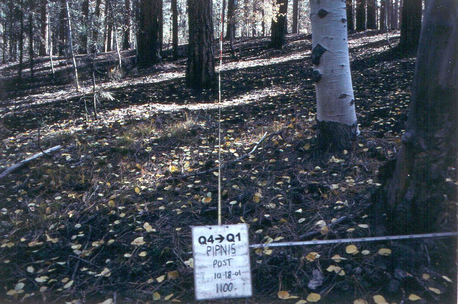
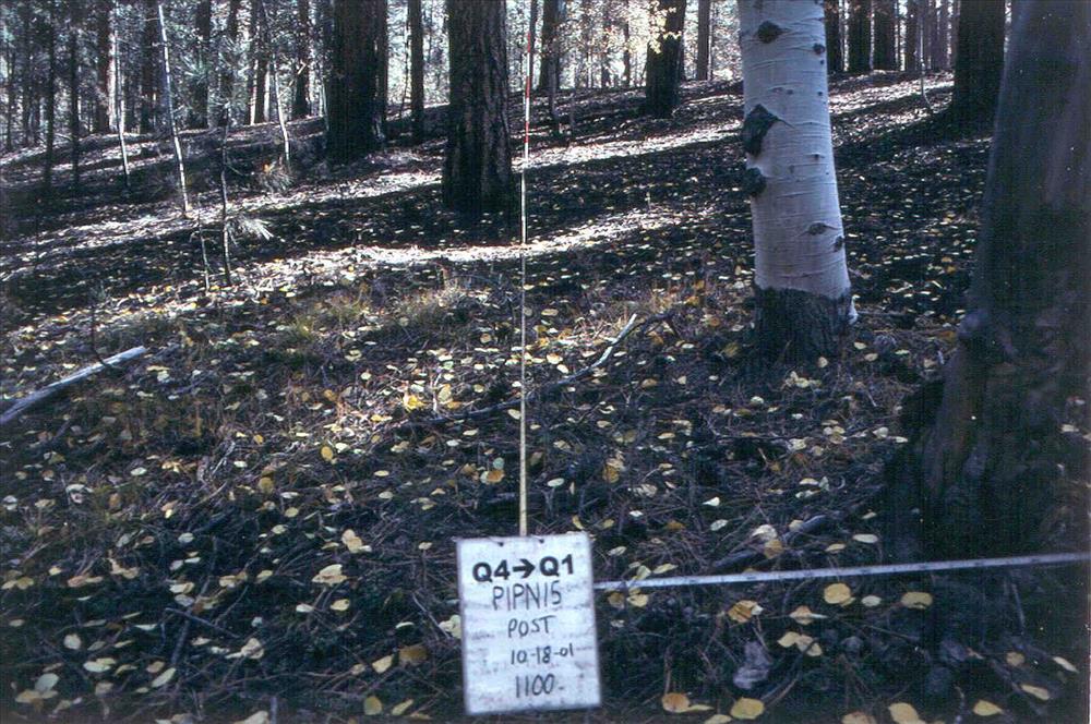
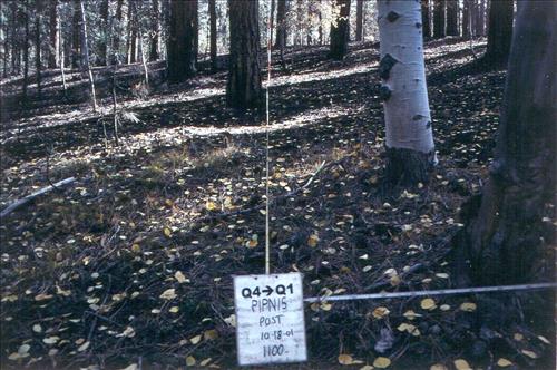
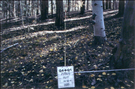
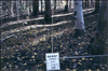
Fire effects monitoring of Plot PIPN15 Q4-Q1 on Tower Fire Use Fire at Grand Canyon NP 2001-2003
Series of pre and post burn images of fire effects monitoring plot PIPN15 Q4-Q1 on the Tower Fire Use Fire , Grand Canyon NP 2001-2003.
Post burn 10/18/2001
U.S. National Park Service
Post burn 10/18/2001
Permission must be secured from the individual copyright owners to reproduce any copyrighted materials contained within this website. Digital assets without any copyright restrictions are public domain.
Public domain
Image
Grand Canyon National Park, Code: GRCA
Fire and Aviation Management Program, Code: FIRE
Fire and Aviation Management Program, Code: FIRE
North Rim, Grand Canyon National Park, Coconino County, Arizona
Latitude: 36.2105407714844, Longitude: -112.061302185059
Latitude: 36.2105407714844, Longitude: -112.061302185059
Legacy NPS Focus Record ID : 232388
07/22/2001 - 08/10/2003
Digital image JPG; 242 KB; 1596 x 1060 pixels; 1200 dpi; 24 bit color)
Public Can View
Friday, March 18, 2005 10:37:31 AM
Thursday, August 10, 2017 2:21:23 AM
GRCA-monitoring-TowerFireUse_PIPN15_post_Q4-Q1_20011018.jpg
Monday, January 1, 0001 12:00:00 AM
jpg
239.9 kB
Scenic
,
Events