Select Item below to DOWNLOAD - Once item is selected, right click and choose 'save as'
8f7f7e44-256b-416f-b55b-a4db6f303c25
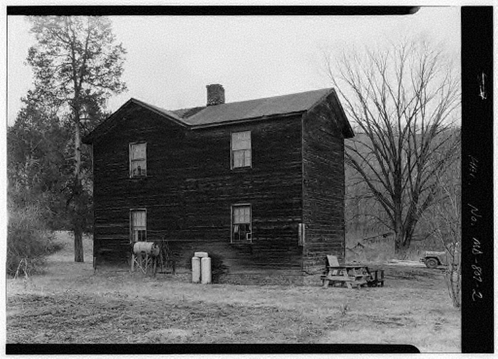
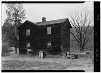
Chesapeake & Ohio Canal, Section House
U.S. National Park Service
Contributors: Jack E. Boucher, photographer-1960 || Above Lock 66, 156 miles above tidewater
Permission must be secured from the individual copyright owners to reproduce any copyrighted materials contained within this website. Digital assets without any copyright restrictions are public domain.
Public domain
Image
Chesapeake and Ohio Canal National Historical Park, Code: CHOH
HABS/HAER/HALS Programs, Code: HABS-HAER
HABS/HAER/HALS Programs, Code: HABS-HAER
Oldtown vicinity, Chesapeake and Ohio Canal National Historical Park, Allegany County, Maryland
Latitude: 39.5550003051758, Longitude: -78.4439010620117
Latitude: 39.5550003051758, Longitude: -78.4439010620117
Title: For full record and additional images see Library of Congress, American Memory
URL: http://memory.loc.gov/cgi-bin/query/r?ammem/hh:@field(NUMBER+@band(md0964))
URL: http://memory.loc.gov/cgi-bin/query/r?ammem/hh:@field(NUMBER+@band(md0964))
MD,1-OLDTO.V,5- in Library of Congress, Prints and Photograph Division, Washington, D.C. 20540 USA
Public Can View
Wednesday, September 29, 2004 6:26:14 PM
Thursday, August 10, 2017 2:22:37 AM
choh-candosectionhouse_2.jpg
Monday, January 1, 0001 12:00:00 AM
jpg
142.2 kB
Historic