Latitude: 43.8339996337891, Longitude: -102.393898010254
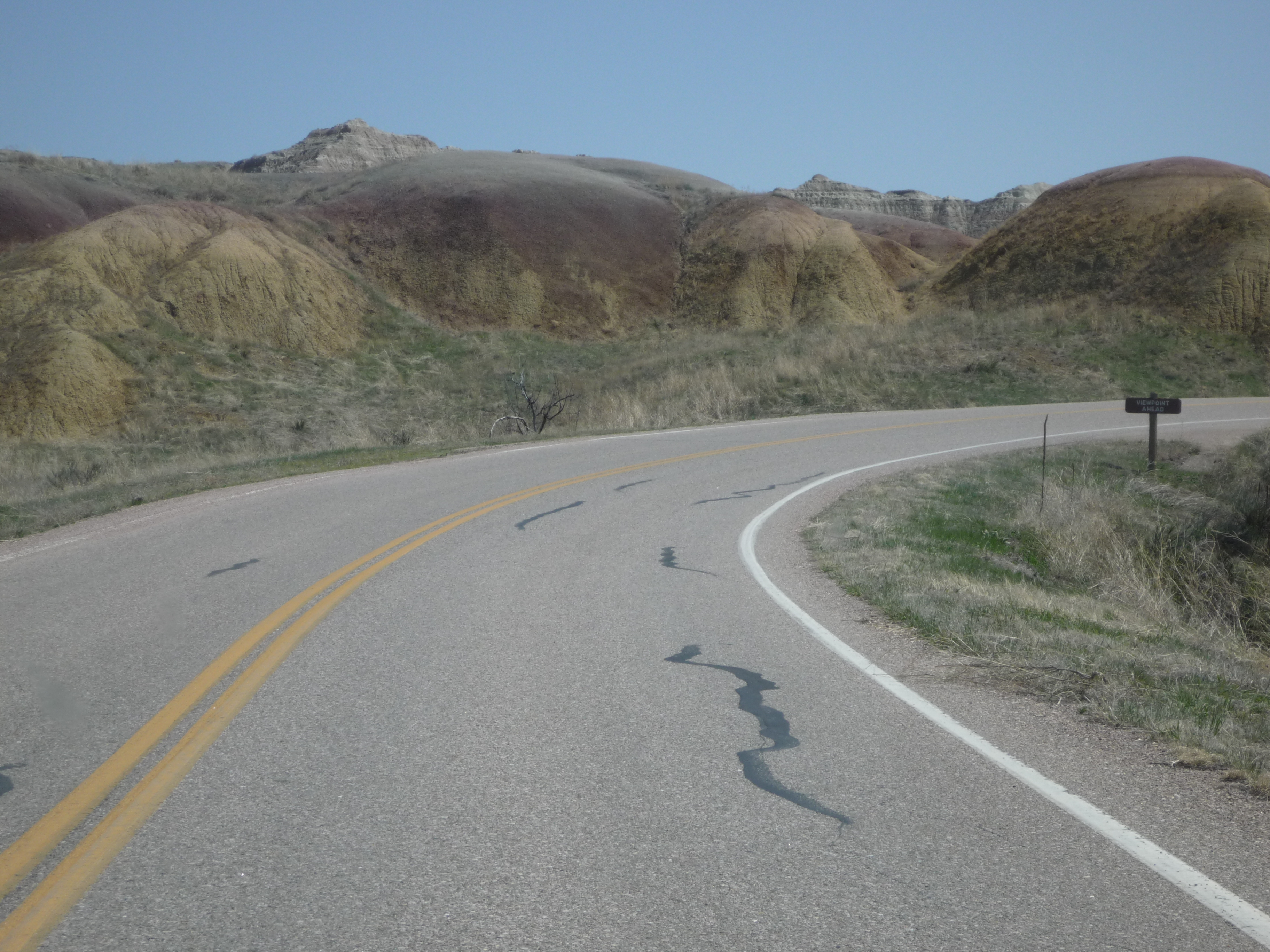
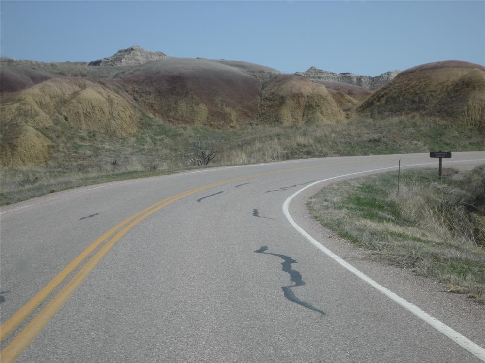
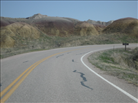
BADL Facility Management Collection: Pinnacles District - Loop Road (RT10) - Roadway Surface - MM 21 to MM 28
BADL Facility Management Collection: Pinnacles District - Loop Road (RT10) - Roadway Surface - MM 21 to MM 28
BADL Facility Management Collection: Pinnacles District - Loop Road (RT10) - Roadway Surface - MM 21 to MM 28
BADL Facility Management Collection: Pinnacles District - Loop Road (RT10) - Roadway Surface - MM 21 to MM 28
BADL Facility Management Collection: Pinnacles District - Loop Road (RT10) - Roadway Surface - MM 21 to MM 28
BADL Facility Management Collection: Pinnacles District - Loop Road (RT10) - Roadway Surface - MM 21 to MM 28
BADL Facility Management Collection: Pinnacles District - Loop Road (RT10) - Roadway Surface - MM 21 to MM 28
BADL Facility Management Collection: Pinnacles District - Loop Road (RT10) - Roadway Surface - MM 21 to MM 28
BADL Facility Management Collection: Pinnacles District - Loop Road (RT10) - Roadway Surface - MM 21 to MM 28
BADL Facility Management Collection: Pinnacles District - Loop Road (RT10) - Roadway Surface - MM 21 to MM 28
BADL Facility Management Collection: Pinnacles District - Loop Road (RT10) - Roadway Surface - MM 21 to MM 28