Select Item below to DOWNLOAD - Once item is selected, right click and choose 'save as'
8e6ad838-13e9-4279-9d98-daf5fedfe3b5
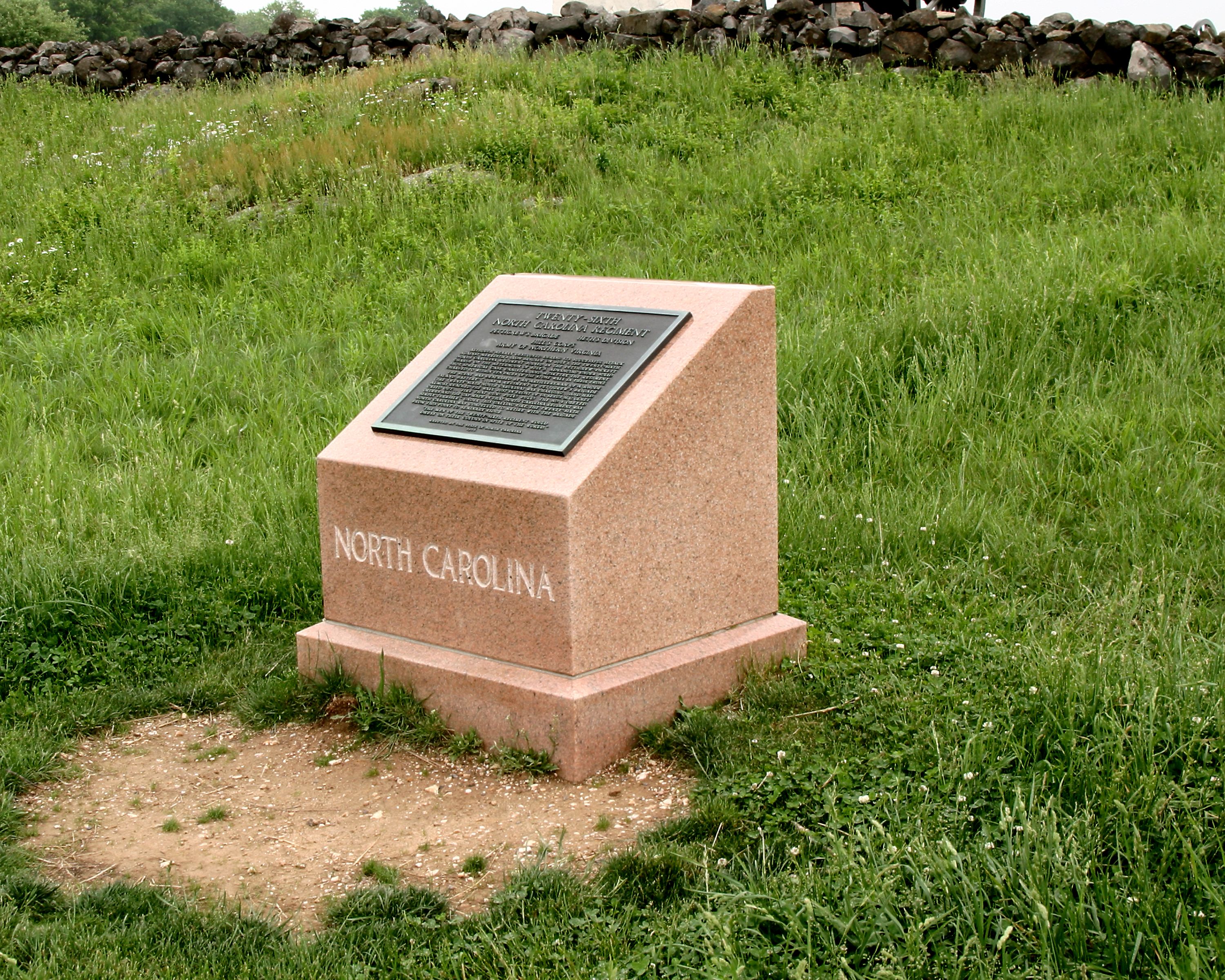
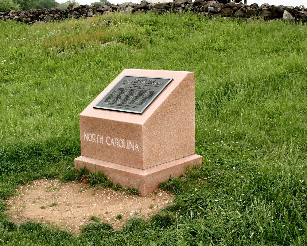
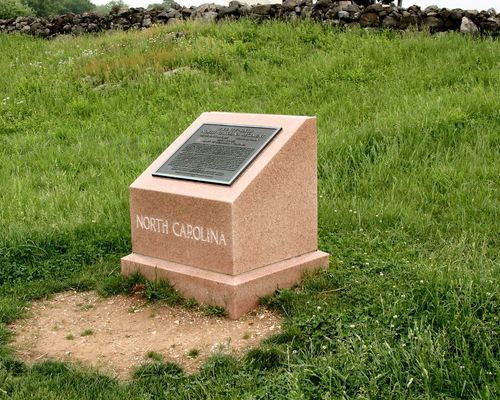
26th North Carolina Advance Marker
Images were contracted by the NPS Office of the Chief Information Officer as part of a larger project to add images of all Civil War monuments to the NPS Civil War Soldiers and Sailors System
Southwest Overall View
U. S. National Park Service
1 of 2 Monuments to North Carolina. Indicates farthest advance position reached July 3, 1863 during Pickett's Charge, having reached the stone wall, forced to retire due to heavy losses. Located near the Angle. || Pink granite monument w/bronze narrative plaque. Concrete base 4'5"x4'11" Granite base 2'8"x3'0"x8"H. Monolithic sloped face shaft 2'8"x2'4"x2'8"H. All 3'4"H. Bronze plaque 1'8"x2'0".
Permission must be secured from the individual copyright owners to reproduce any copyrighted materials contained within this website. Digital assets without any copyright restrictions are public domain.
Public domain:Contract transferred all rights to the NPS
Image
Gettysburg National Military Park, Code: GETT
Gettysburg National Military Park, Adams County, Pennsylvania
Latitude: 39.81357, Longitude: 77.23563
Latitude: 39.81357, Longitude: 77.23563
Legacy NPS Focus Record ID : 441347
06/16/2004
05/20/2004
Public Can View
Friday, August 20, 2010 1:20:02 AM
Thursday, August 10, 2017 2:12:45 AM
GETT-02a1c3bfbefb4211b11bbaa1f978ea03.tif
Canon Canon, Canon EOS 10D
28 mm
ISO 200
Thursday, May 20, 2004 7:40:58 AM
tif
17.0 MB
Inventory