Sequoia and Kings Canyon National Parks, Code: SEKI
Latitude: 40.6136016845703, Longitude: -122.601997375488
Sequoia-Kings Canyon National Park
Sequoia and Kings Canyon National Parks, California
Latitude: 36.7172584533691, Longitude: -118.537902832031
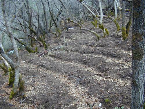
Marijuana cultivation sites in Pacific West Region parks from 2006-2008 showing vegetation clearing, chemicals, hillside terracing, weapons, and growers posing with poached bear.
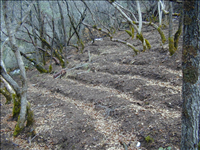
Marijuana cultivation sites in Pacific West Region parks from 2006-2008 showing vegetation clearing, chemicals, hillside terracing, weapons, and growers posing with poached bear.
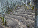
Marijuana cultivation sites in Pacific West Region parks from 2006-2008 showing vegetation clearing, chemicals, hillside terracing, weapons, and growers posing with poached bear.
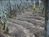
Marijuana cultivation sites in Pacific West Region parks from 2006-2008 showing vegetation clearing, chemicals, hillside terracing, weapons, and growers posing with poached bear.
Marijuana cultivation sites in Pacific West Region parks from 2006-2008 showing vegetation clearing, chemicals, hillside terracing, weapons, and growers posing with poached bear.