Select Item below to DOWNLOAD - Once item is selected, right click and choose 'save as'
878dabb3-0cf2-4402-96fe-8b81efe55213
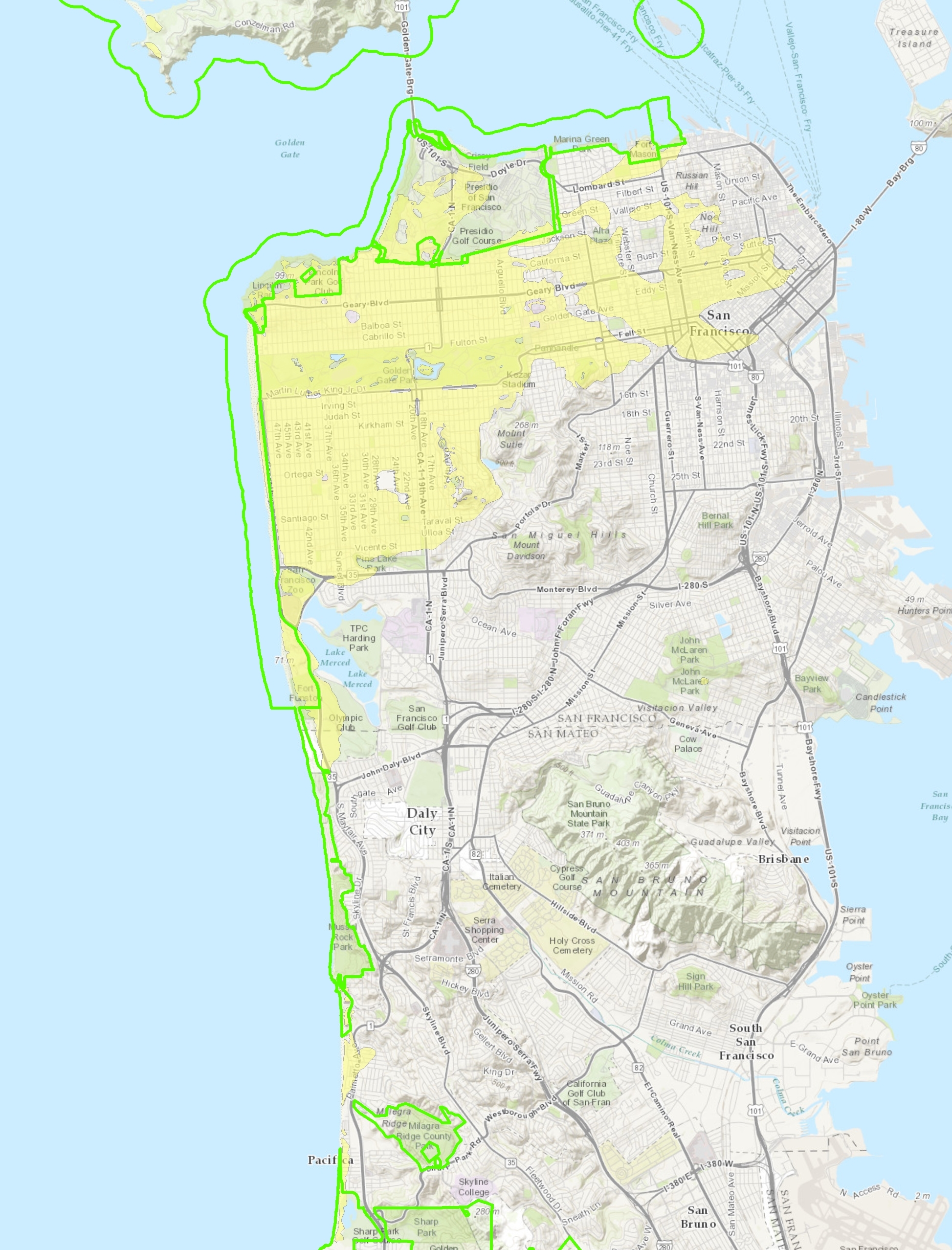
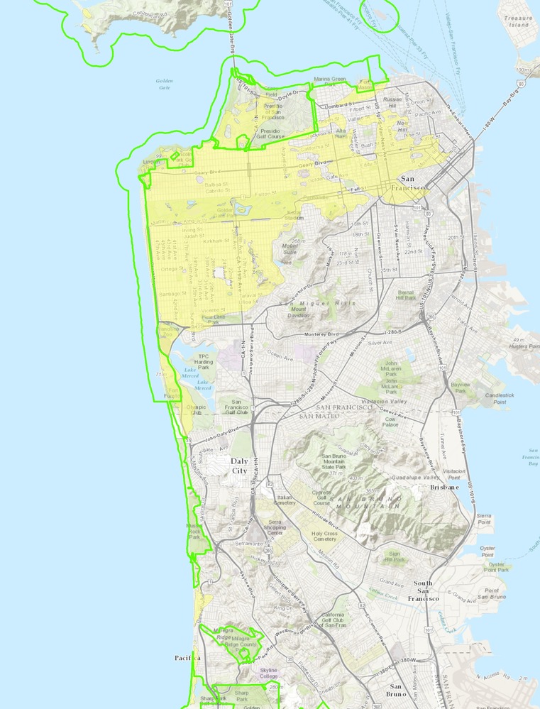
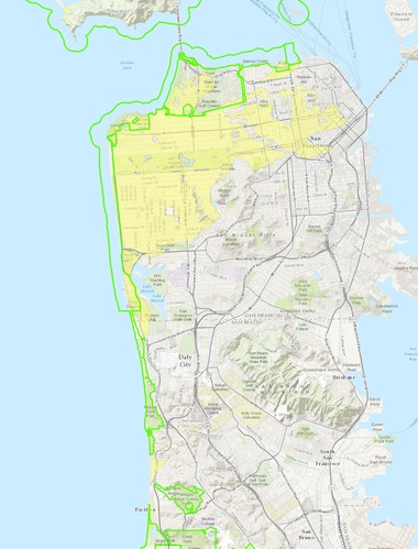
Sand Dune Extent
Map of dune sand extent.
Map of dune sand extent. Holocene dune sands (geologic map unit Qdsy “Dune Sand, Younger”) are
mapped (yellow area) over much of San Francisco south of Golden Gate. The park boundary is indicated by a green
line.
Permission must be secured from the individual copyright owners to reproduce any copyrighted materials contained within this website. Digital assets without any copyright restrictions are public domain.
Map by the author using GRI GIS data.
Public domain:Full Granting Rights
Image
Fort Point National Historic Site, Code: FOPO
Golden Gate National Recreation Area, Code: GOGA
Muir Woods National Monument, Code: MUWO
Golden Gate National Recreation Area, Code: GOGA
Muir Woods National Monument, Code: MUWO
Fort Point National Historic Site, San Francisco County, California
Latitude: 37.8084983825684, Longitude: -122.473999023438
Golden Gate National Recreation Area, California
Latitude: 37.8916893005371, Longitude: -122.635803222656
Muir Woods National Monument, Marin County, California
Latitude: 37.8983993530273, Longitude: -122.583999633789
Latitude: 37.8084983825684, Longitude: -122.473999023438
Golden Gate National Recreation Area, California
Latitude: 37.8916893005371, Longitude: -122.635803222656
Muir Woods National Monument, Marin County, California
Latitude: 37.8983993530273, Longitude: -122.583999633789
01/01/0001
Public Can View
Monday, September 6, 2021 9:34:52 AM
Monday, September 6, 2021 10:39:09 AM
35_GOGA_Qdsy_extent.jpg
Monday, January 1, 0001 12:00:00 AM
jpg
2.1 MB
Scenic