Select Item below to DOWNLOAD - Once item is selected, right click and choose 'save as'
8632591f-a174-4346-ad87-39cc69975780
LARO 2768
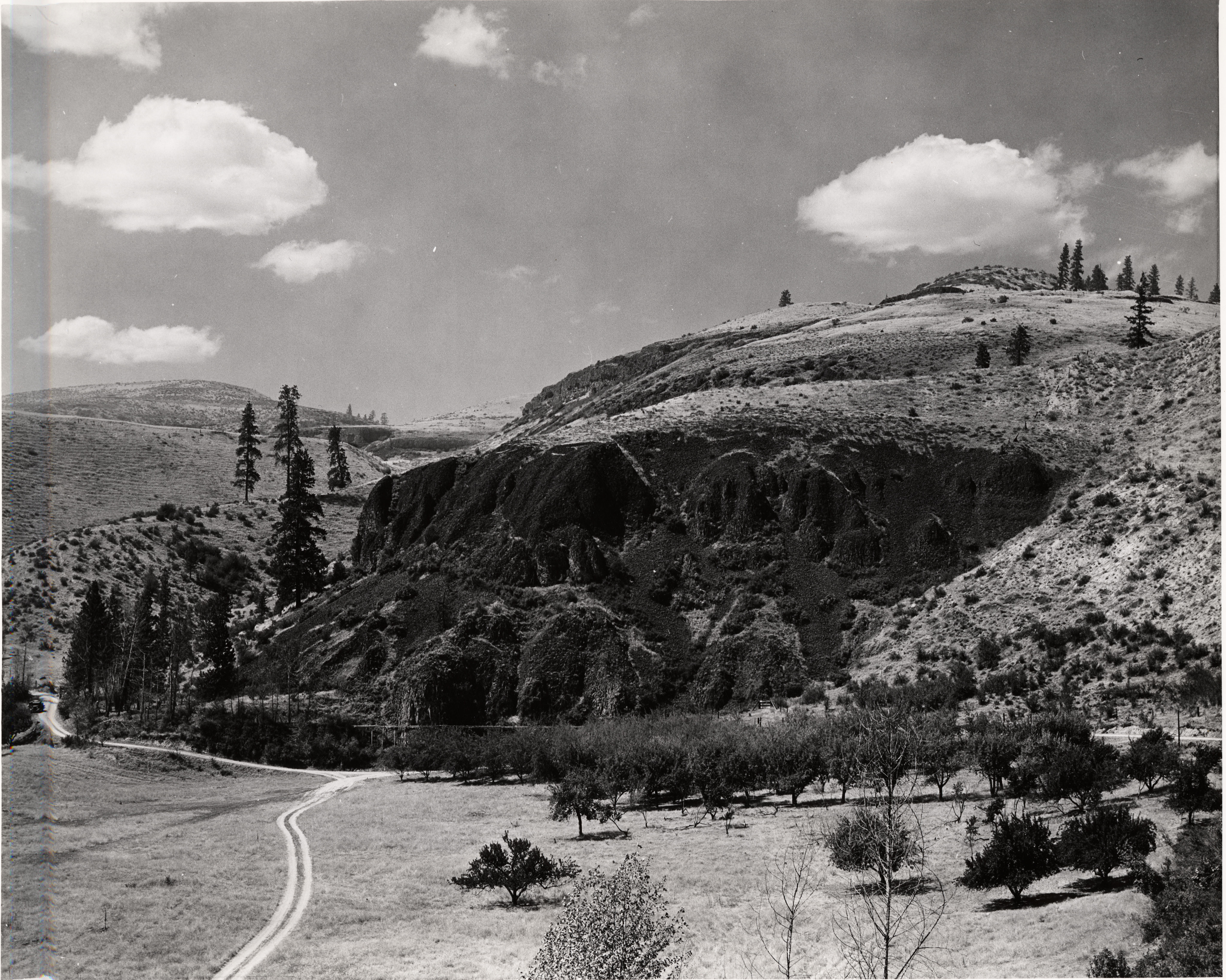
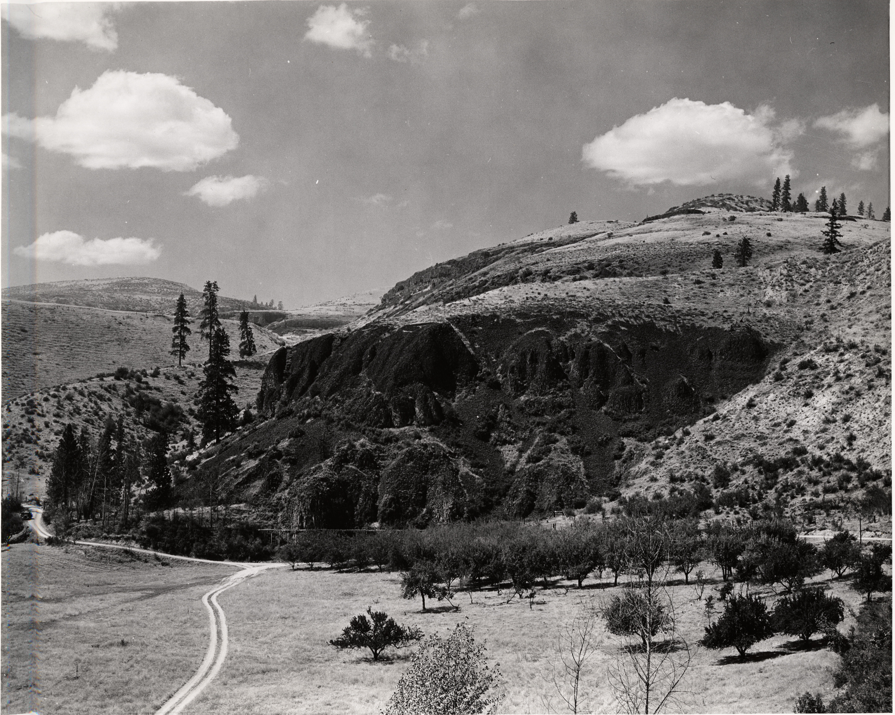
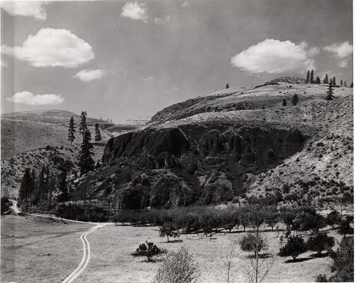
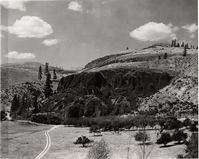
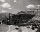
Black and white photograph of steep dark cliffs with a clearing, orchard, and road at the base
Hawk Creek picnic area. July 21, 1941.
Permission must be secured from the individual copyright owners to reproduce any copyrighted materials contained within this website. Digital assets without any copyright restrictions are public domain.
NPS
Public domain:Full Granting Rights
Image
Lake Roosevelt National Recreation Area, Code: LARO
Lake Roosevelt National Recreation Area, Washington
Latitude: 47.8406715393066, Longitude: -118.434700012207
Latitude: 47.8406715393066, Longitude: -118.434700012207
02/04/2005
02/04/2005
Public Can View
Tuesday, December 6, 2022 10:35:47 PM
Tuesday, December 6, 2022 10:37:40 PM
photograph---laro-2768_7595452228_o.jpg
Friday, February 4, 2005 9:07:52 PM
jpg
4.3 MB
Scenic