Select Item below to DOWNLOAD - Once item is selected, right click and choose 'save as'
859dcd51-779f-469a-aa81-596087cceba1
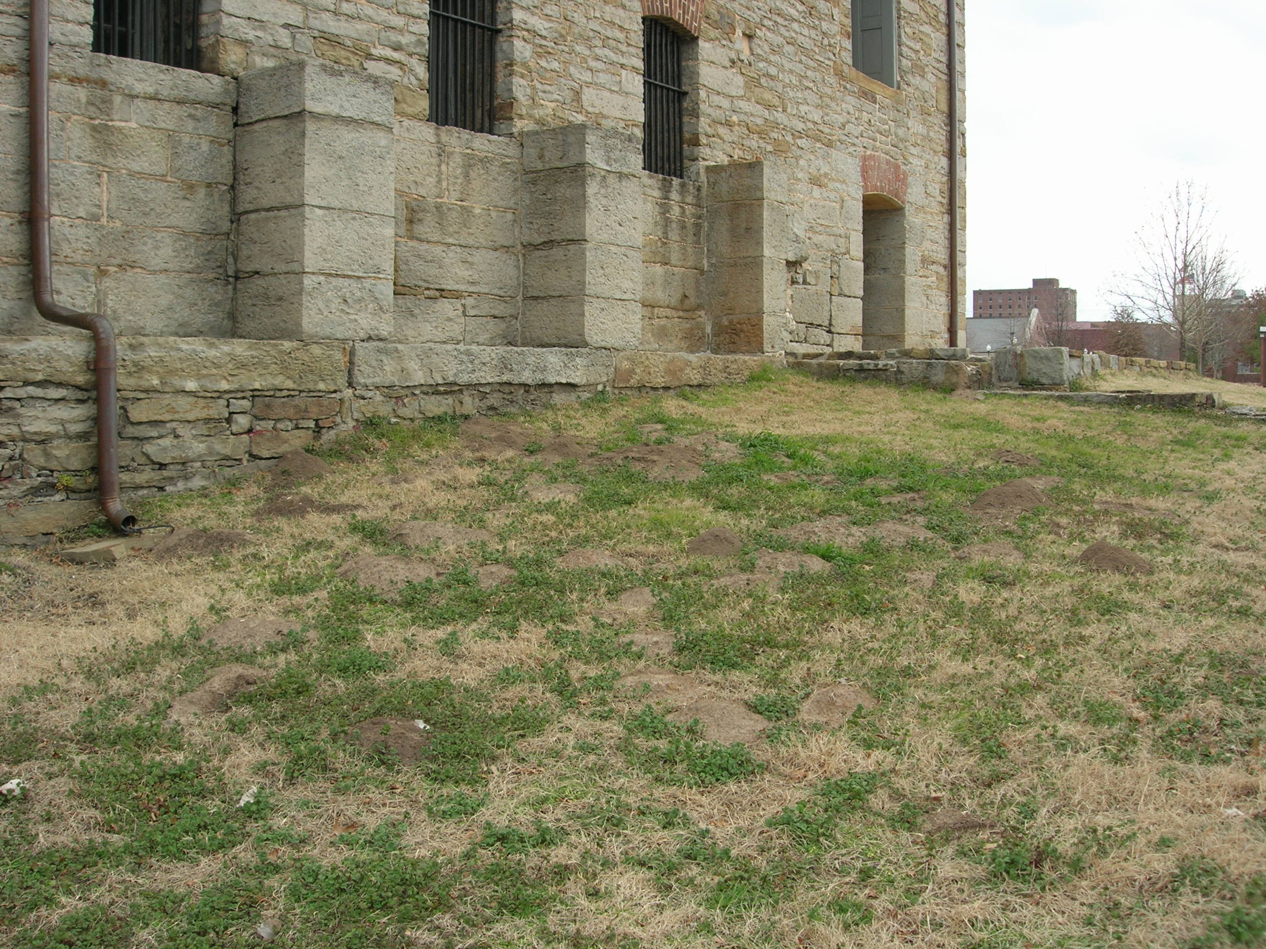
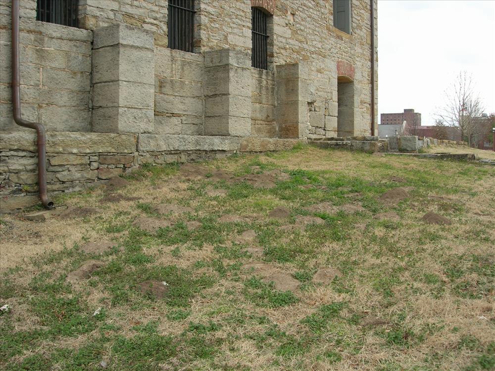
Mitigate Erosion and Restore Landscape Project PMIS 191288
Unlevel surface of the Second Fort Grounds to be improved through PMIS 191288 - Mitigate Erosion and Restore Landscap of Second Fort Grounds.
Permission must be secured from the individual copyright owners to reproduce any copyrighted materials contained within this website. Digital assets without any copyright restrictions are public domain.
Public domain
Image
Fort Smith National Historic Site, Code: FOSM
Fort Smith National Historic Site - Second Fort Groundss, Fort Smith National Historic Site, Sebastian County, Arkansas
Latitude: 35.3883018493652, Longitude: -94.4312973022461
Latitude: 35.3883018493652, Longitude: -94.4312973022461
01/31/2012
01/01/2012
Public Can View
Tuesday, February 7, 2012 1:59:29 PM
Thursday, August 10, 2017 1:20:42 AM
FOSM-1128a594b2d34d97842ee2339591055f.jpg
NIKON NIKON, E5900
10/1282 sec at f / 4.8
7.8 mm
ISO 64
Tuesday, January 31, 2012 9:21:52 PM
jpg
977.6 kB
Budget