Select Item below to DOWNLOAD - Once item is selected, right click and choose 'save as'
82da0e3b3ac84b6c9505659b385988b4
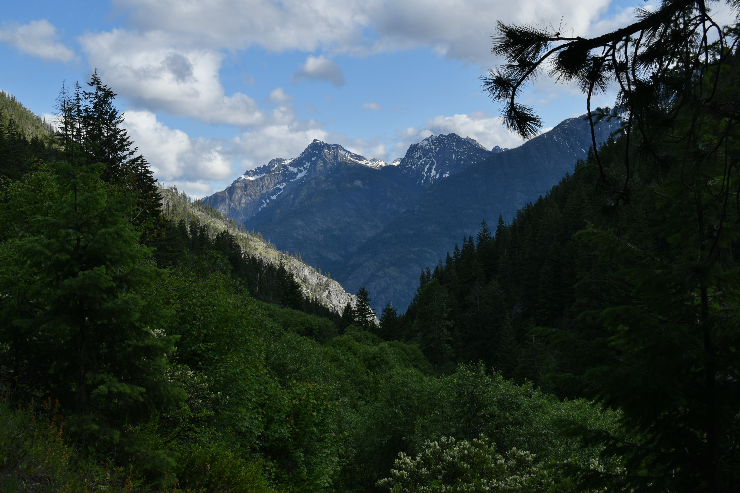
View of Castle Rock and Devore from Rainbow Creek Trail
Two rugged rocky peaks are seen through the V of a forested valley.
View of Castle Rock and Devore Peak from Rainbow Creek Trail.
U.S. National Park Service
This digital asset is in the public domain. When using this asset for any purpose, including online, credit: 'Courtesy of North Cascades National Park Service Complex.'
Public domain
Scenic, (North Cascades Subject)
, Lake Chelan National Recreation Area (Backcountry), (North Cascades Location)
, Lake Chelan National Recreation Area (Backcountry), (North Cascades Location)
Image
North Cascades National Park, Code: NOCA
North Cascades National Park, Washington
Latitude: 48.8278884887695, Longitude: -121.35050201416
Rainbow Creek Trail
Latitude: 48.8278884887695, Longitude: -121.35050201416
Rainbow Creek Trail
20200620
06/20/2020
Digital Image
NOCA Server
Public Can View
Person: NOCA Curator
Organization: North Cascades NPS Complex
Position: Museum Curator
Address: 7280 Ranger Station Road, Marblemount, WA 98267
Email: NOCA_Curator@nps.gov.
Organization: North Cascades NPS Complex
Position: Museum Curator
Address: 7280 Ranger Station Road, Marblemount, WA 98267
Email: NOCA_Curator@nps.gov.
Thursday, January 21, 2021 1:51:15 PM
Thursday, January 21, 2021 1:51:15 PM
View of Castle Rock and Devore from Rainbow Creek Trail.JPG
jpg
6.4 MB
Scenic