Select Item below to DOWNLOAD - Once item is selected, right click and choose 'save as'
81f37d28-63da-4013-af76-71c19fc66224
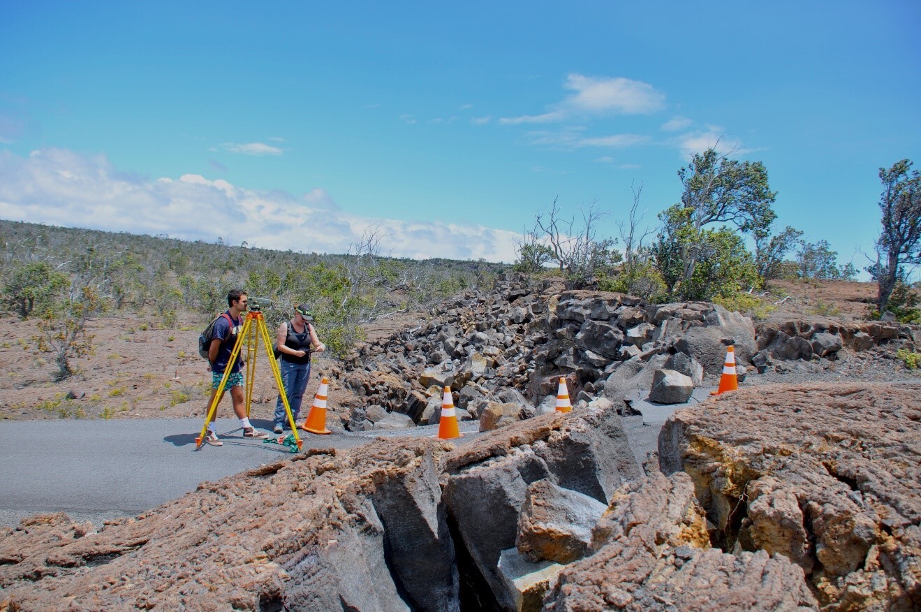
Measuring an earth crack resulting from the 2018 Kīlauea summit collapse
Two people use an instrument on a tripod to survey and measure a large earth crack
UH-Hilo geology students measure vertical offset of Hilina Pali Road on Kulanaokuaiki Pali in Hawaiʻi Volcanoes National Park after the 2018 summit collapse events. USGS Photo for use with the 1/16/24 After Dark in the Park program.
Permission must be secured from the individual copyright owners to reproduce any copyrighted materials contained within this website. Digital assets without any copyright restrictions are public domain.
USGS Photo
Public domain:Full Granting Rights
Image
Hawaii Volcanoes National Park, Code: HAVO
Hawaii Volcanoes National Park, Hawaii County, Hawaii
Latitude: 19.3775997161865, Longitude: -155.602996826172
Latitude: 19.3775997161865, Longitude: -155.602996826172
01/01/0001
Public Can View
Wednesday, December 6, 2023 11:06:42 PM
Wednesday, December 6, 2023 11:46:00 PM
cracks.jpg
Monday, January 1, 0001 12:00:00 AM
jpg
380.3 kB
Scenic