, Sugar refineries, ()
, Historical reenactment and living history, ()
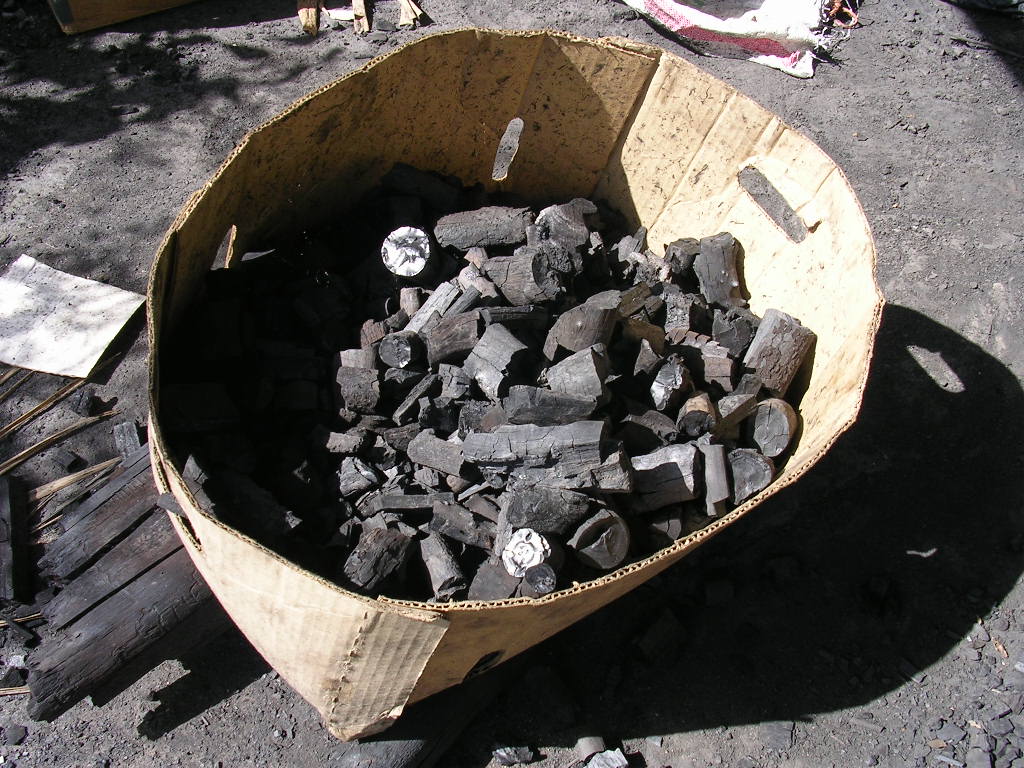
, Coal mines, ()
Southeast Regional Office, Code: SERO
Latitude: 18.3650970458984, Longitude: -64.7283401489258
Annaberg Sugar Mill Ruins at Virgin Islands National Park in December 2007
Annaberg Sugar Mill Ruins at Virgin Islands National Park in December 2007
Annaberg Sugar Mill Ruins at Virgin Islands National Park in December 2007
Annaberg Sugar Mill Ruins at Virgin Islands National Park in December 2007
Annaberg Sugar Mill Ruins at Virgin Islands National Park in December 2007
Annaberg Sugar Mill Ruins at Virgin Islands National Park in December 2007
Annaberg Sugar Mill Ruins at Virgin Islands National Park in December 2007
Annaberg Sugar Mill Ruins at Virgin Islands National Park in December 2007
Annaberg Sugar Mill Ruins at Virgin Islands National Park in December 2007
Annaberg Sugar Mill Ruins at Virgin Islands National Park in December 2007
Annaberg Sugar Mill Ruins at Virgin Islands National Park in December 2007
Annaberg Sugar Mill Ruins at Virgin Islands National Park in December 2007
Annaberg Sugar Mill Ruins at Virgin Islands National Park in December 2007
Annaberg Sugar Mill Ruins at Virgin Islands National Park in December 2007