Select Item below to DOWNLOAD - Once item is selected, right click and choose 'save as'
81c9d887-10ca-4420-ae5b-751ce19bebb7
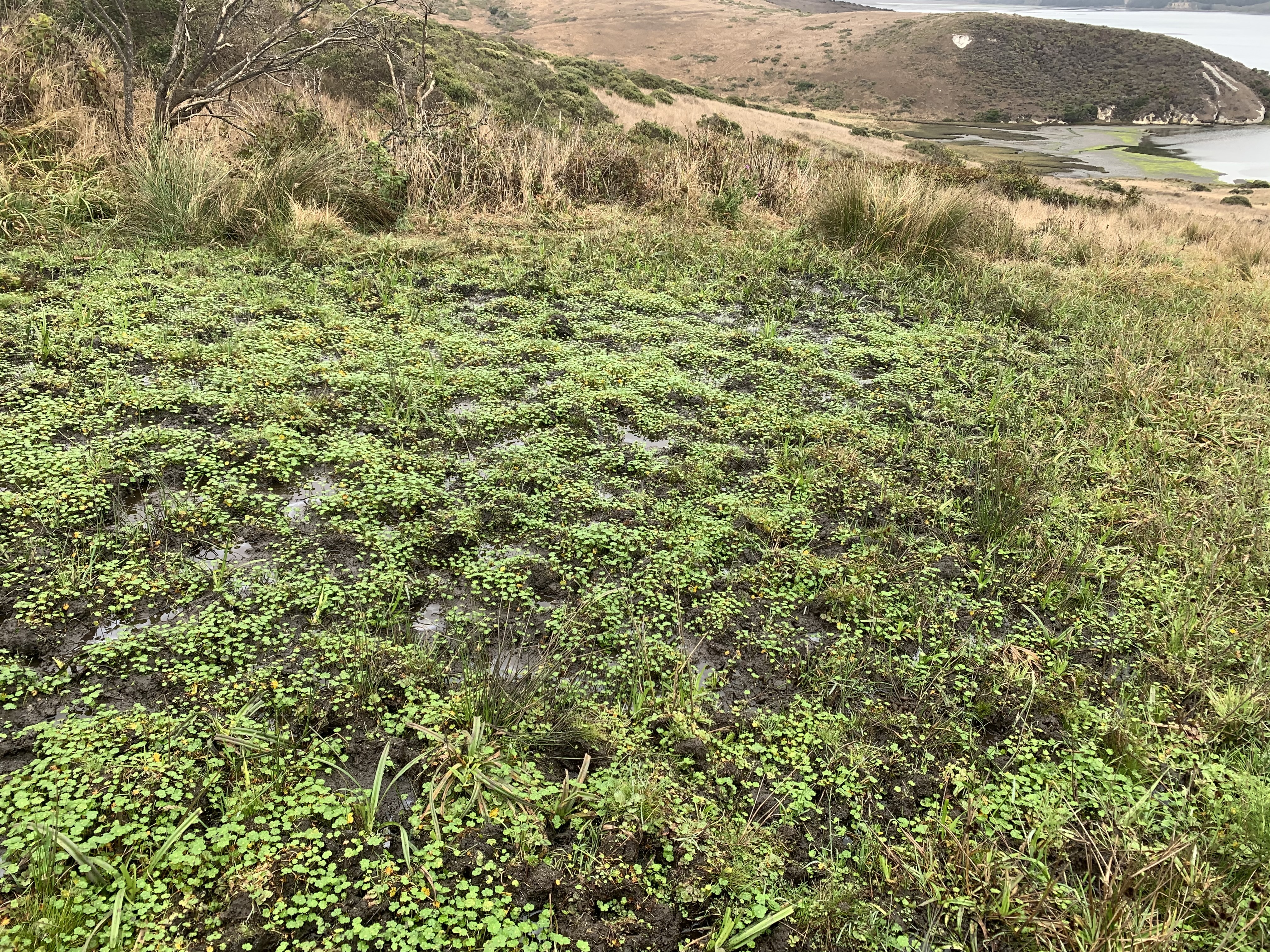
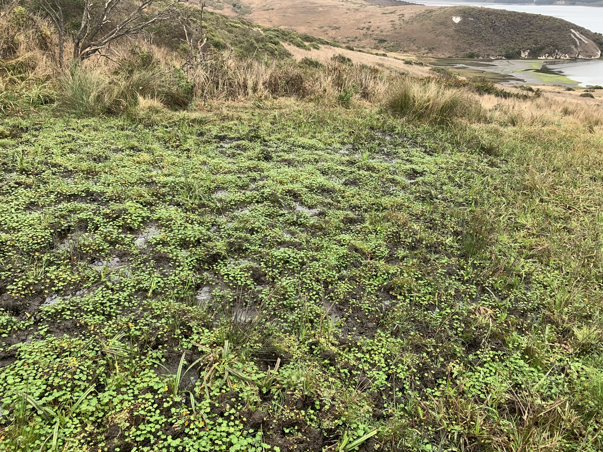
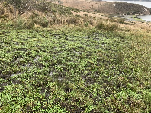
Tomales Point Water Sources: Middle-east Section: ME02a - September 3, 2020
A large seep area with aquatic vegetation. Tomales Bay is visible in the upper right.
ME02 is a mid-drainage seep above White Gulch.
Permission must be secured from the individual copyright owners to reproduce any copyrighted materials contained within this website. Digital assets without any copyright restrictions are public domain.
NPS Photo
Public domain:Full Granting Rights
Image
Point Reyes National Seashore, Code: PORE
Tomales Point, Point Reyes National Seashore, Marin County, California
Latitude: 38.189046, Longitude: -122.953936
Latitude: 38.189046, Longitude: -122.953936
09/03/2020
09/03/2020
Public Can View
Thursday, September 10, 2020 4:08:35 PM
Thursday, September 10, 2020 4:08:35 PM
tomales_point_water_source_me02a_200903.jpg
Apple Apple, iPhone XR 25, iPhone XR back camera 4.25mm f/1.8
1/354 sec at f / 1.8
4.25 mm
ISO 25
Thursday, September 3, 2020 4:30:22 PM
jpg
6.8 MB
Scenic