Select Item below to DOWNLOAD - Once item is selected, right click and choose 'save as'
80661c8c-6130-4109-8f82-68f100e349af
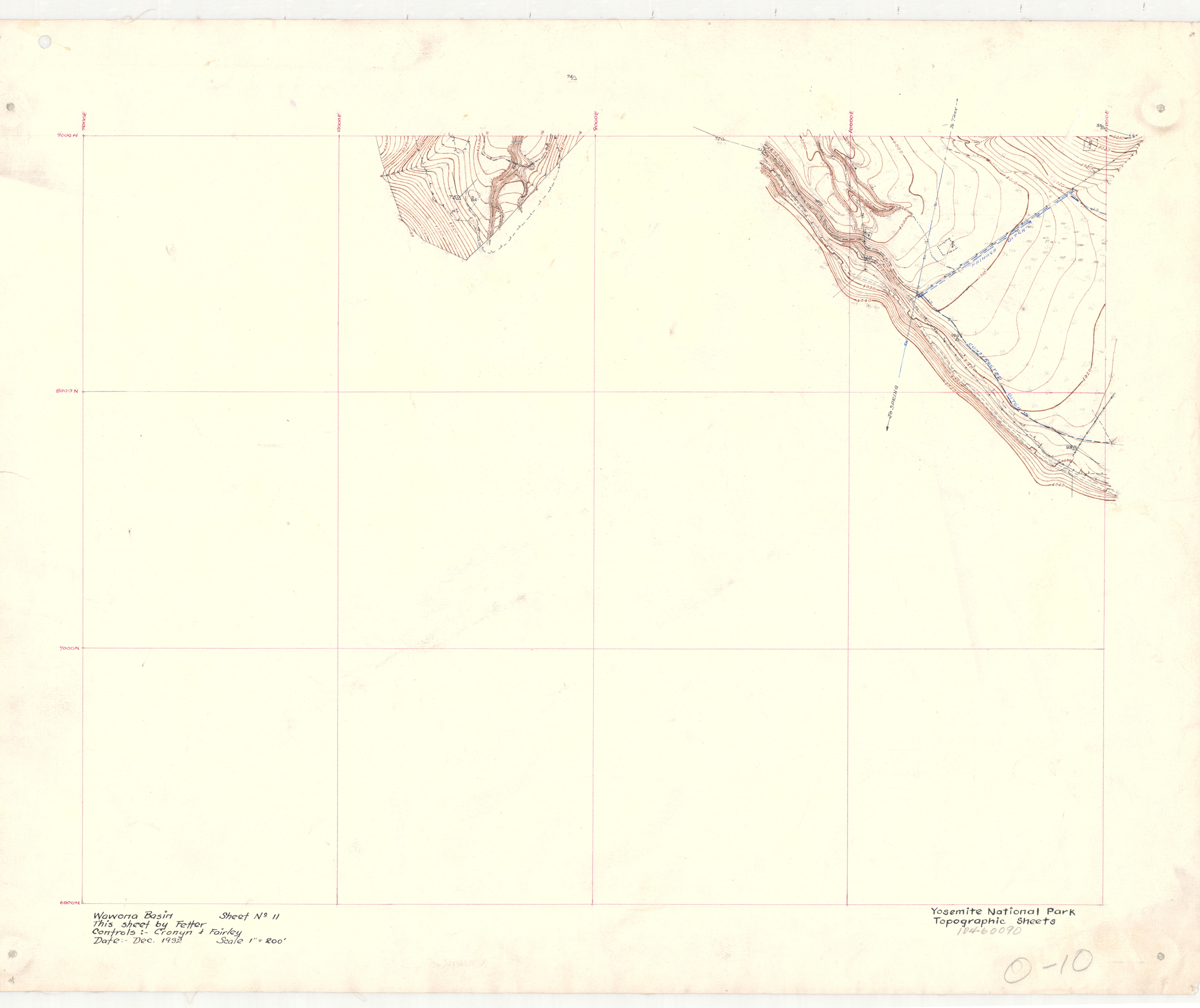
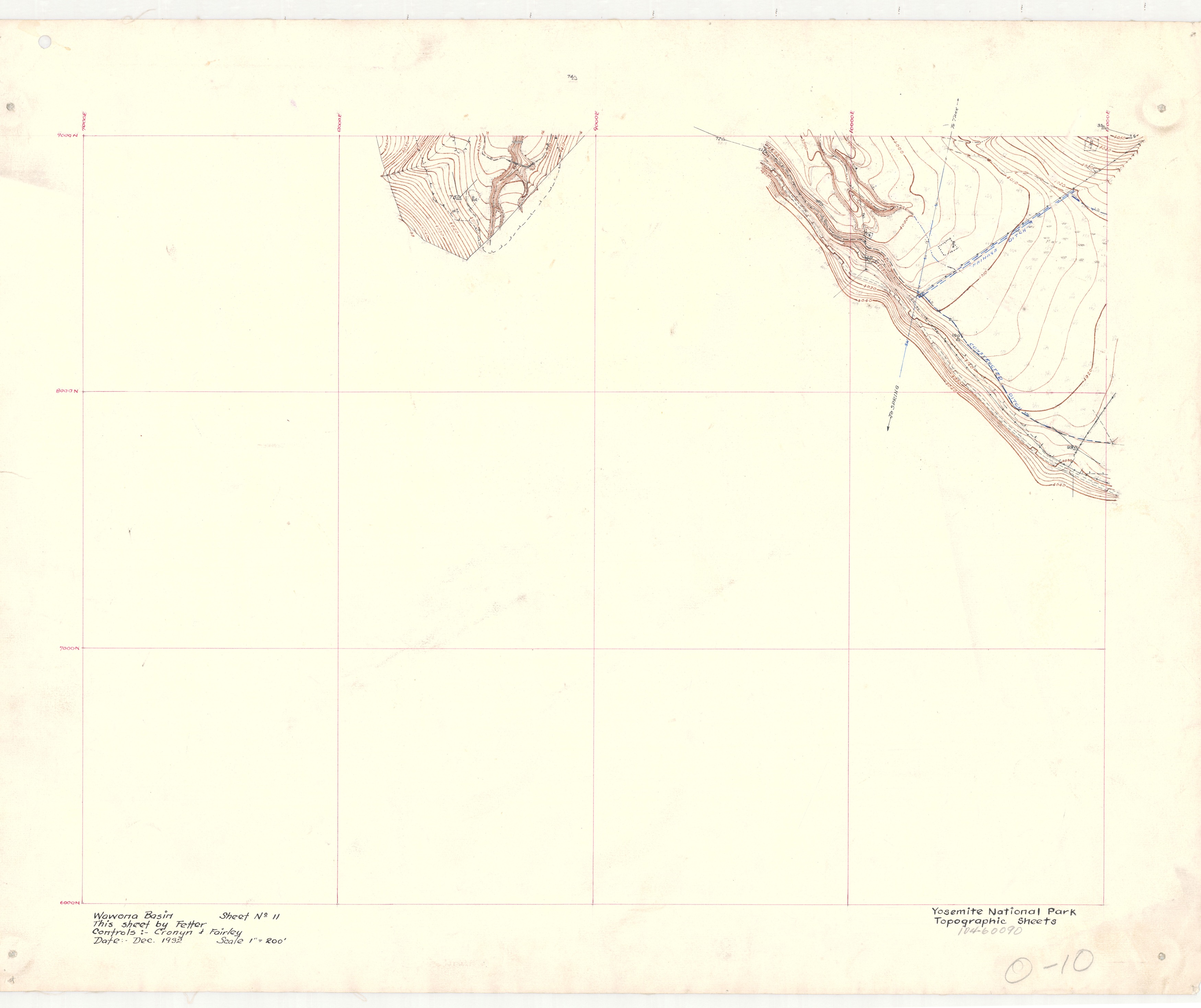
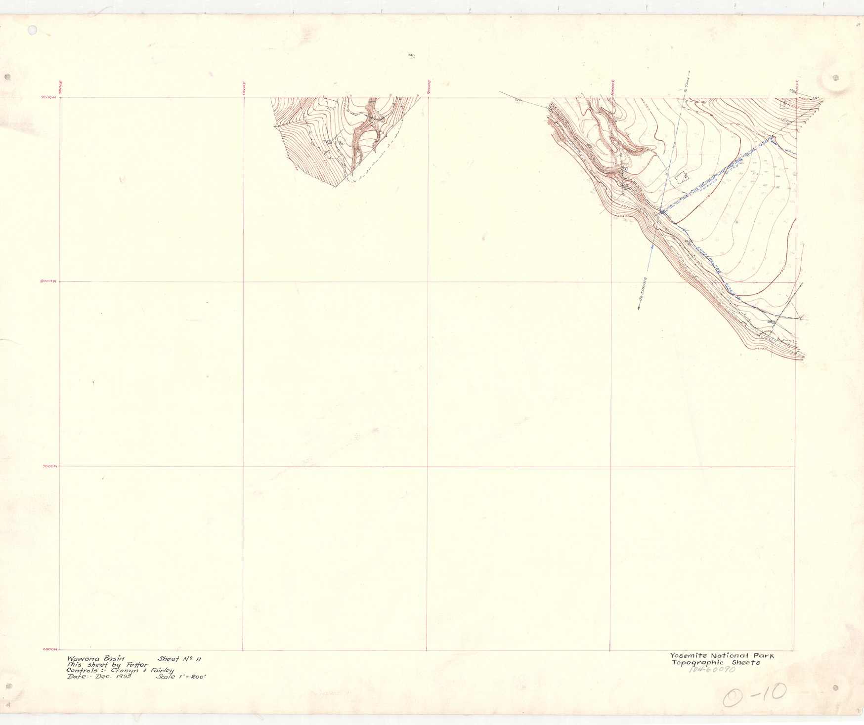
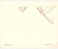
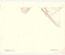
Wawona Basin Sheet #11
Wawona Basin Sheet #11
Corner of topographic map of Wawona Basin with ditches labeled and directions to water sources
Item Number: YOSEAR001469, AlternateId: 02-A-065.02, Sheet 11, 0-10, 104-60090
Contact Yosemite National Park for more copyright information and use
Public domain:This digital asset is in the public domain. When using this asset for any purpose, including online, credit:'Courtesy U.S. National Parks'
104-60090, (YOSE TIC Number)
Image
Yosemite National Park, Code: YOSE
Yosemite National Park, California
Yosemite National Park, California
Latitude: 37.8399200439453, Longitude: -119.540397644043
Yosemite National Park, California
Latitude: 37.8399200439453, Longitude: -119.540397644043
1932
01/01/1932 - 12/30/1932
Type:linen, Dimensions: 19 x 24, Condition: good
YOSE Location: E4 DR5 F1
Public Can View
Person: Archivist
Organization: US National Park Service
Address: Yosemite National Park Archives, PO Box 700-W, El Portal, CA 95318
Email: yose_archives@nps.gov
Organization: US National Park Service
Address: Yosemite National Park Archives, PO Box 700-W, El Portal, CA 95318
Email: yose_archives@nps.gov
Monday, August 7, 2023 3:31:55 PM
Monday, August 7, 2023 3:31:55 PM
YOSEAR001469.tif
tif
493.5 MB
Historic
,
Map