Select Item below to DOWNLOAD - Once item is selected, right click and choose 'save as'
7e17b38e-2525-4101-a18c-c211899ae4e8
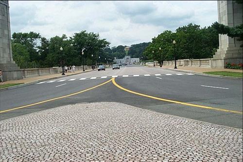
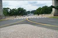
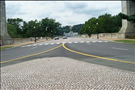
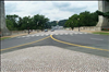
Memorial Drive and Circle Rehabilitation 2006
Before and after construction pictures of Memorial Drive and Circle. memorial Drive is the access road to Arlington Cemetery, WIMSA and Arlington House
Memorial Circle gore area before rehab.
U.S. National Park Service
Permission must be secured from the individual copyright owners to reproduce any copyrighted materials contained within this website. Digital assets without any copyright restrictions are public domain.
Public domain
Image
George Washington Memorial Parkway, Code: GWMP
George Washington Memorial Parkway
Latitude: 38.7102088928223, Longitude: -77.0632629394531
Latitude: 38.7102088928223, Longitude: -77.0632629394531
06/01/2006 - 12/18/2006
Public Can View
Tuesday, December 19, 2006 2:38:00 PM
Thursday, August 10, 2017 12:36:03 AM
GWMP-b7f52f65c9a44d41b28dfe4c3bc654fb.jpg
Tuesday, December 19, 2006 7:26:51 PM
jpg
316.5 kB
Budget