Select Item below to DOWNLOAD - Once item is selected, right click and choose 'save as'
7d4c76d9-71ba-487c-8466-c40276ffd76d
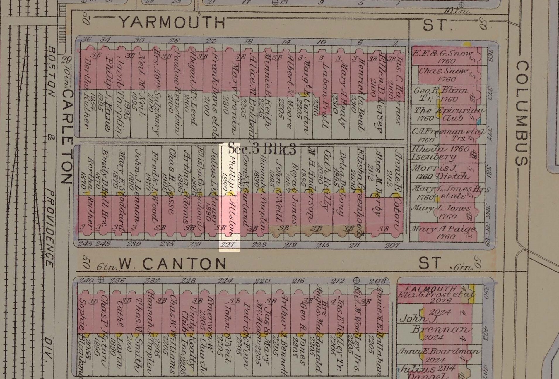
Atlas of the City of Boston, Back Bay: Plate 23
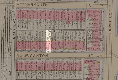
Section of an atlas of Back Bay, with small rectangle of building #227 highlighted and the rest of the map darkened.
The atlases of the City of Boston were published in 1917 in Philadelphia.
G.W. Bromley & Co.
This image is used for the Sergeant William Carney story map on the Boston African American National Historic Site website.
Digital Commonwealth states there are no known restrictions for this image. See more information at this url: https://www.digitalcommonwealth.org/search/commonwealth:1257bx972
George Washington Bromley; Walter Scott Bromley
Public domain:Digital Commonwealth states there are no known restrictions on this image.
Image
Boston African American National Historic Site, Code: BOAF
Boston African American National Historic Site, Suffolk County, Massachusetts
Latitude: 42.3578987121582, Longitude: -71.0706024169922
Latitude: 42.3578987121582, Longitude: -71.0706024169922
https://www.digitalcommonwealth.org/search/commonwealth:1257bx972
1917
10/28/2021
Public Can View
Organization: Norman B. Leventhal Map Center / Digital Commonwealth
Thursday, October 28, 2021 9:36:42 AM
Monday, November 1, 2021 11:50:17 AM
WestCantonSt-highlighted2.jpg
Thursday, October 28, 2021 4:55:25 PM
jpg
694.6 kB
Historic