Select Item below to DOWNLOAD - Once item is selected, right click and choose 'save as'


7cc7a678-6ef9-4654-bb2a-c7bc042c7edb
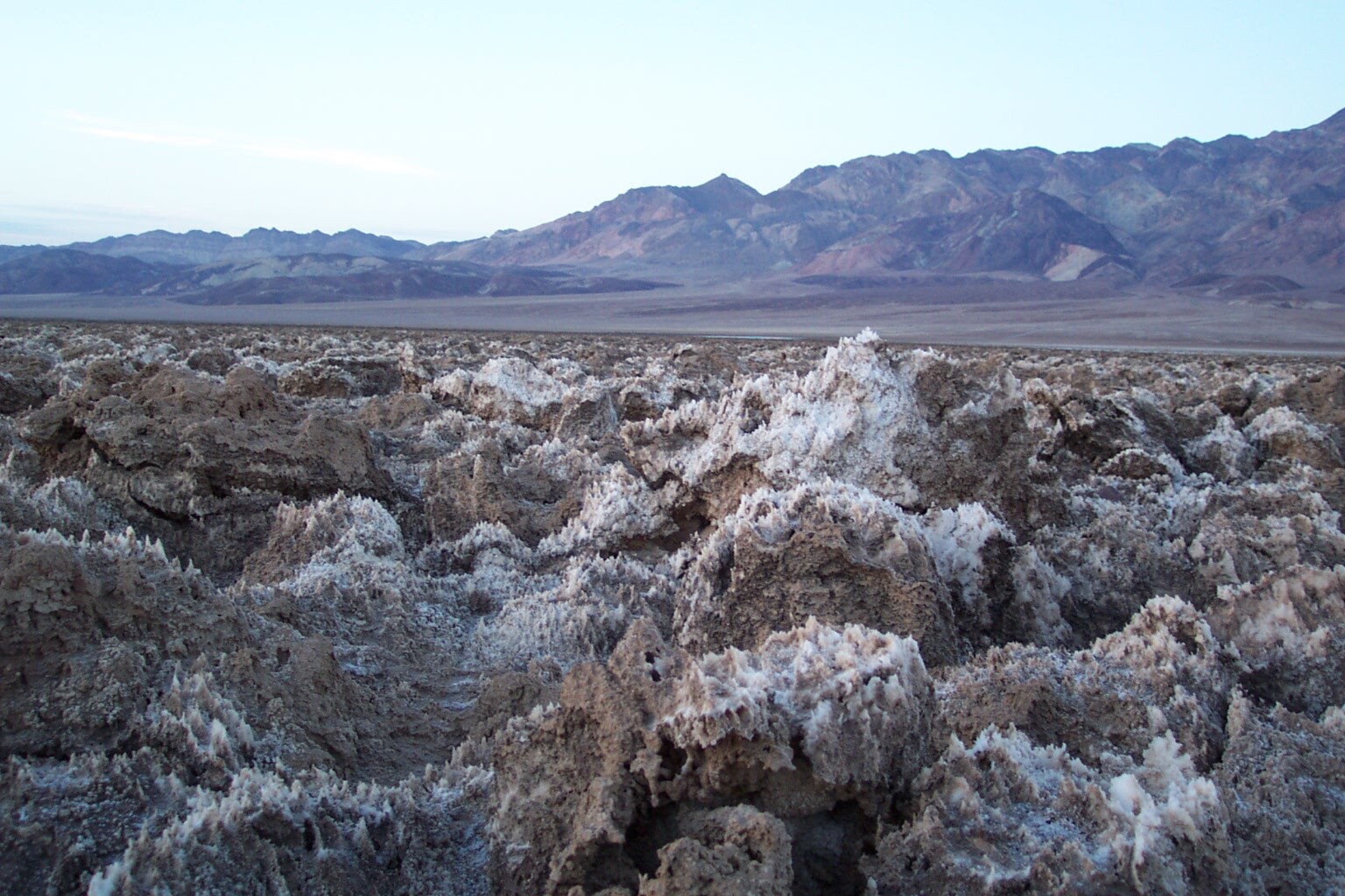
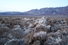
Devils Golf Course
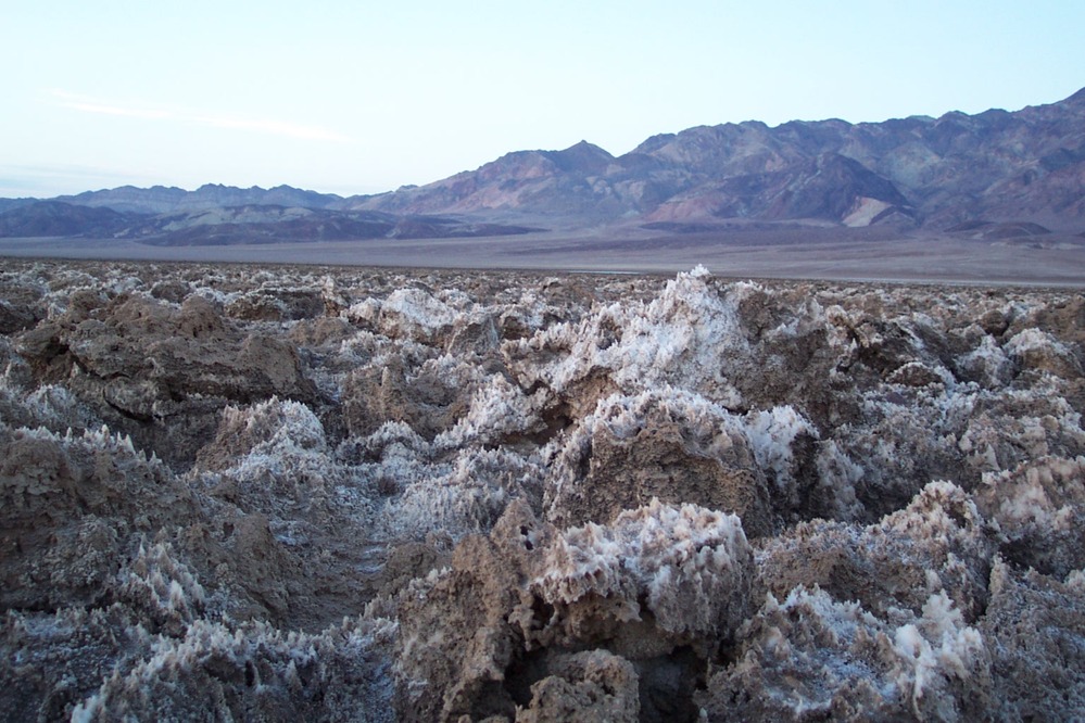
A crust of hard salt and mud forming spires and ridges at ground level, with mountains in the distance.
At the northern edge of Badwater Basin, Devils Golf course is defined by a crust of hard salt and mud shaped eroded by wind and rain
Permission must be secured from the individual copyright owners to reproduce any copyrighted materials contained within this website. Digital assets without any copyright restrictions are public domain.
NPS
Public domain:Full Granting Rights
Image
Death Valley National Park, Code: DEVA
Death Valley National Park
Latitude: 36.5675506591797, Longitude: -117.138999938965
Latitude: 36.5675506591797, Longitude: -117.138999938965
01/01/2000
01/01/2000
Public Can View
Monday, April 6, 2020 4:31:01 PM
Monday, April 6, 2020 4:31:01 PM
DCP_1503.JPG
EASTMAN KODAK COMPANY EASTMAN KODAK COMPANY, KODAK DX3900 ZOOM DIGITAL CAMERA
1/30 sec at f / 2.8
7.3 mm
Saturday, January 1, 2000 7:15:41 AM
jpg
423.5 kB
Scenic