Select Item below to DOWNLOAD - Once item is selected, right click and choose 'save as'
7c1bd321-125d-44f1-8a50-80b050d61a66
Map
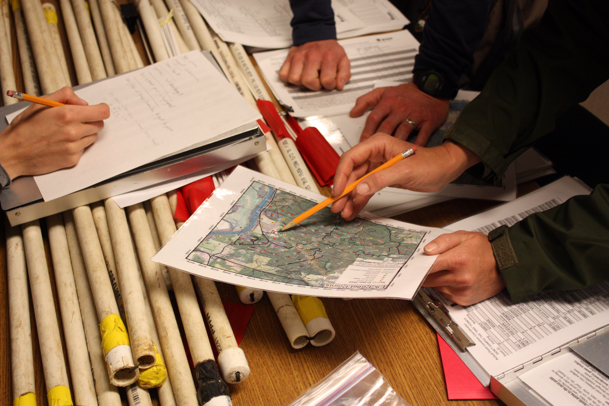
Rangers examine a map of the Lewis and Clark NHP forest
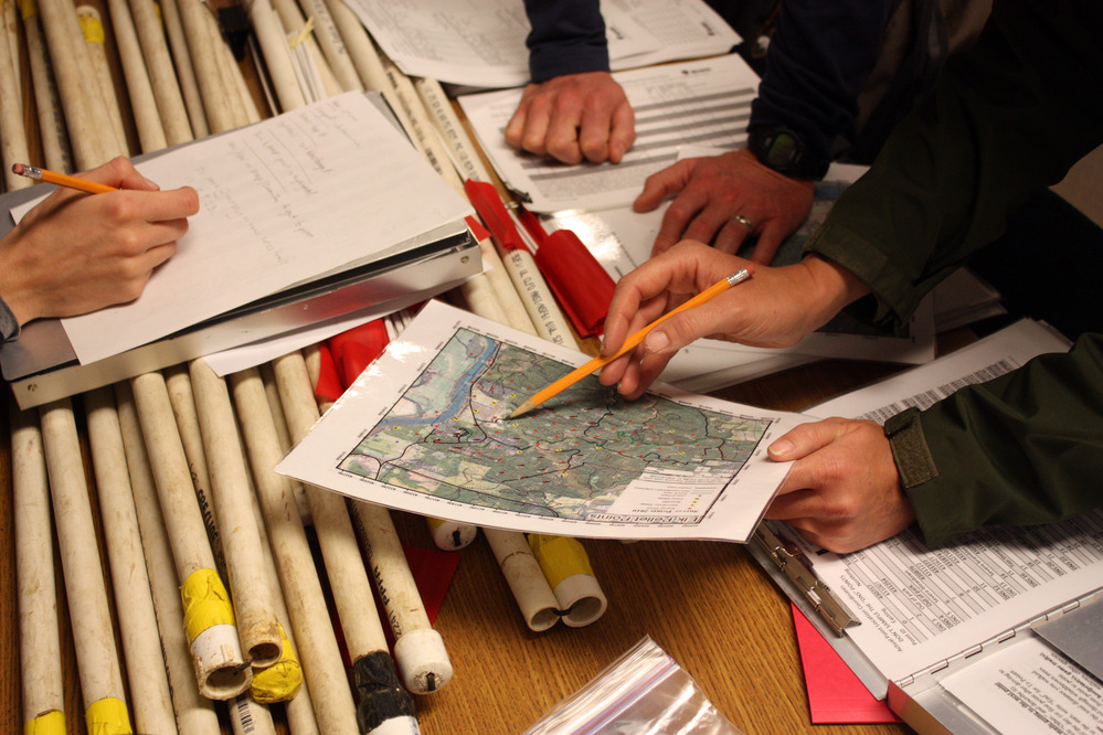
Rangers examine a map of the Lewis and Clark NHP forest
Permission must be secured from the individual copyright owners to reproduce any copyrighted materials contained within this website. Digital assets without any copyright restrictions are public domain.
Public domain
Image
Lewis and Clark National Historical Park, Code: LEWI
Lewis and Clark National Historical Park
Latitude: 46.2874488830566, Longitude: -124.065803527832
Latitude: 46.2874488830566, Longitude: -124.065803527832
06/22/2008
06/22/2008
Public Can View
Person: Jill Harding
Organization: NPS
Role: Lead of Visitor Services
Position: Lead of Visitor Services
Address: 92343 Fort Clatsop Rd, Astoria, OR, 97103
Email: jill_harding@nps.gov
Organization: NPS
Role: Lead of Visitor Services
Position: Lead of Visitor Services
Address: 92343 Fort Clatsop Rd, Astoria, OR, 97103
Email: jill_harding@nps.gov
Monday, November 18, 2024 7:36:31 PM
Monday, November 18, 2024 7:37:29 PM
Paul.JPG
Canon Canon, Canon EOS DIGITAL REBEL XSi
1/50 sec at f / 4.5
30 mm
ISO 800
Sunday, June 22, 2008 8:32:45 PM
jpg
6.7 MB
Scenic