Select Item below to DOWNLOAD - Once item is selected, right click and choose 'save as'
7bb25b58-6d13-4ff4-b43f-2532f7a34f12
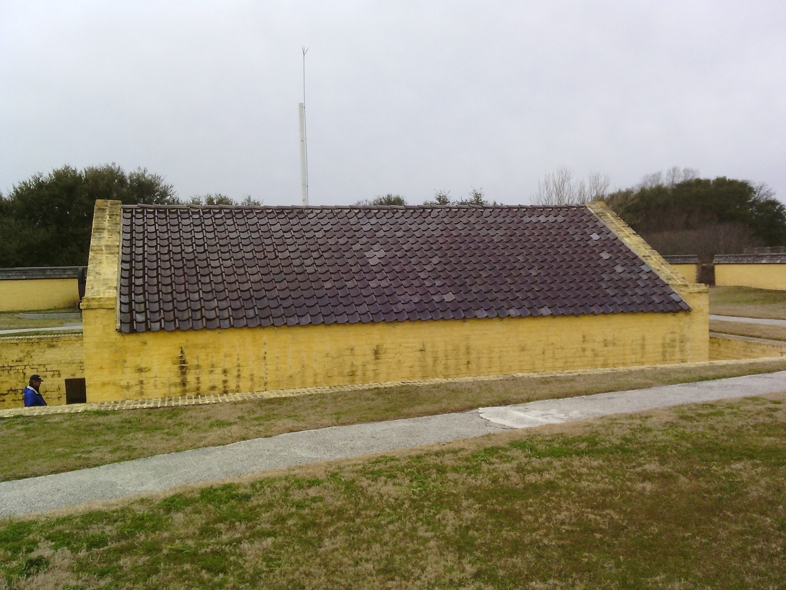
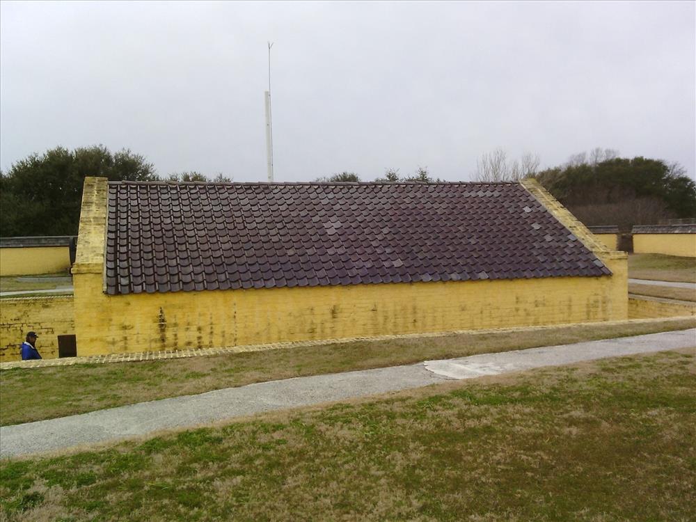
Fort Moultrie
Fort Moultrie Proper
Image with visible watermark of coordinates, elevations date, time and park code.
45992
7300
Permission must be secured from the individual copyright owners to reproduce any copyrighted materials contained within this website. Digital assets without any copyright restrictions are public domain.
Public domain
FMSS, (NPS Focus Subject Thesaurus)
, Asset Inventory, (NPS Focus Subject Thesaurus)
, Buildings, (NPS Focus Subject Thesaurus)
, Elevations, (NPS Focus Subject Thesaurus)
, Asset Inventory, (NPS Focus Subject Thesaurus)
, Buildings, (NPS Focus Subject Thesaurus)
, Elevations, (NPS Focus Subject Thesaurus)
Image
Fort Sumter and Fort Moultrie National Historical Park, Code: FOSU
Fort Sumter and Fort Moultrie National Historical Park, Charleston County, South Carolina
Latitude: 32.7536010742188, Longitude: -79.8793029785156, Elevation: 1.38
Latitude: 32.7536010742188, Longitude: -79.8793029785156, Elevation: 1.38
Public Can View
FOSU
Organization: FMGIS
Email: Brian_Diethorn@partner.nps.gov
Email: Brian_Diethorn@partner.nps.gov
Wednesday, March 18, 2015 2:20:38 PM
Thursday, August 10, 2017 12:18:57 AM
45992_020415_142707.jpg
Pegatron Pegatron, Getac Z710
1219/1000000 sec at f / 2.8
3.37 mm
ISO 71
Wednesday, February 4, 2015 9:27:33 PM
jpg
2.9 MB
Source: VERTICAL DATUM NAVD 88
Content: 1.383 m
Content: 1.383 m
Inventory