Shows scenery of Padre Island National Seashore taken from 2002-2006; some of these areas are rarely seen by the public.
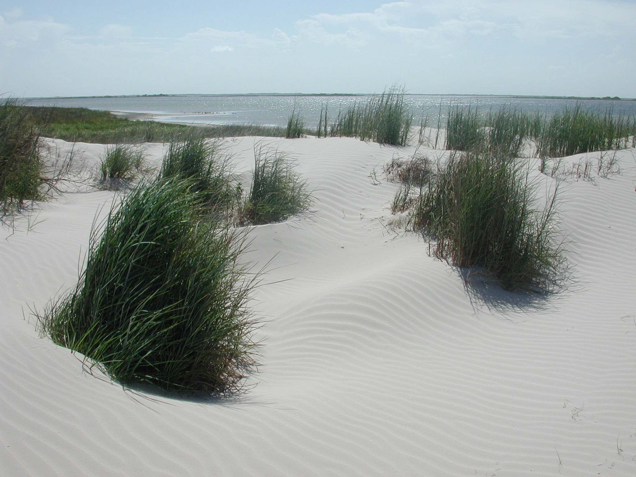
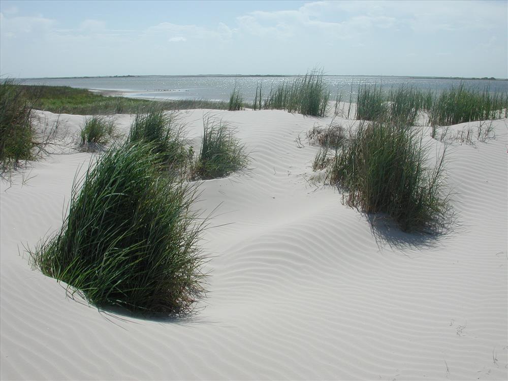
Laguna Madre as seen from dune field north of Bird Island Basin
2. Rough surf at Malaquite Beach, November 2004
3. Picnic shelters at Malaquite Campground, November 2004
4. Midpoint of Padre Island near the 54 mile marker, 2005
5. Railroad vine on a dune field, 2004
6. Sea oats and sunrise on Padre Island, date and photographer unknown
7. Sand dune near South Beach, November 2002
8. Exposed sandbar at Malaquite Beach, November 2002
9. Trough in dunes near 6 mile marker on South Beach, November 2002
10. Dune near Laguna Madre shore, 2006
11. Grasslands near Laguna Madre, circa 4 miles southwest of Malaquite Visitor Center, March 2006
12. Fore-island dune ridge near 10 mile marker, November 2002
13. Dunes near Laguna Madre shore approximately 4 miles southwest of Malaquite Visitor Center, 2006
14. Pool in mudflats at Yarborough Pass, 2004
15. Small channel cut into island through fore-island dune ridge near 10 mile marker by rough weather, November 2002. Sand arriving on the currents and blowing about later filled the channel; it ceased to exist after a few months.
Permission must be secured from the individual copyright owners to reproduce any copyrighted materials contained within this website. Digital assets without any copyright restrictions are public domain.
Padre Island National Seashore along beaches, in interior grasslands, and on Laguna Madre shore, Padre Island National Seashore, Texas Latitude: 26.7036590576172, Longitude: -97.3406829833984