Select Item below to DOWNLOAD - Once item is selected, right click and choose 'save as'
79182022-1b51-4fa5-95f1-88f3fc3af1fd
Lono-i-ka-ʻoualiʻi
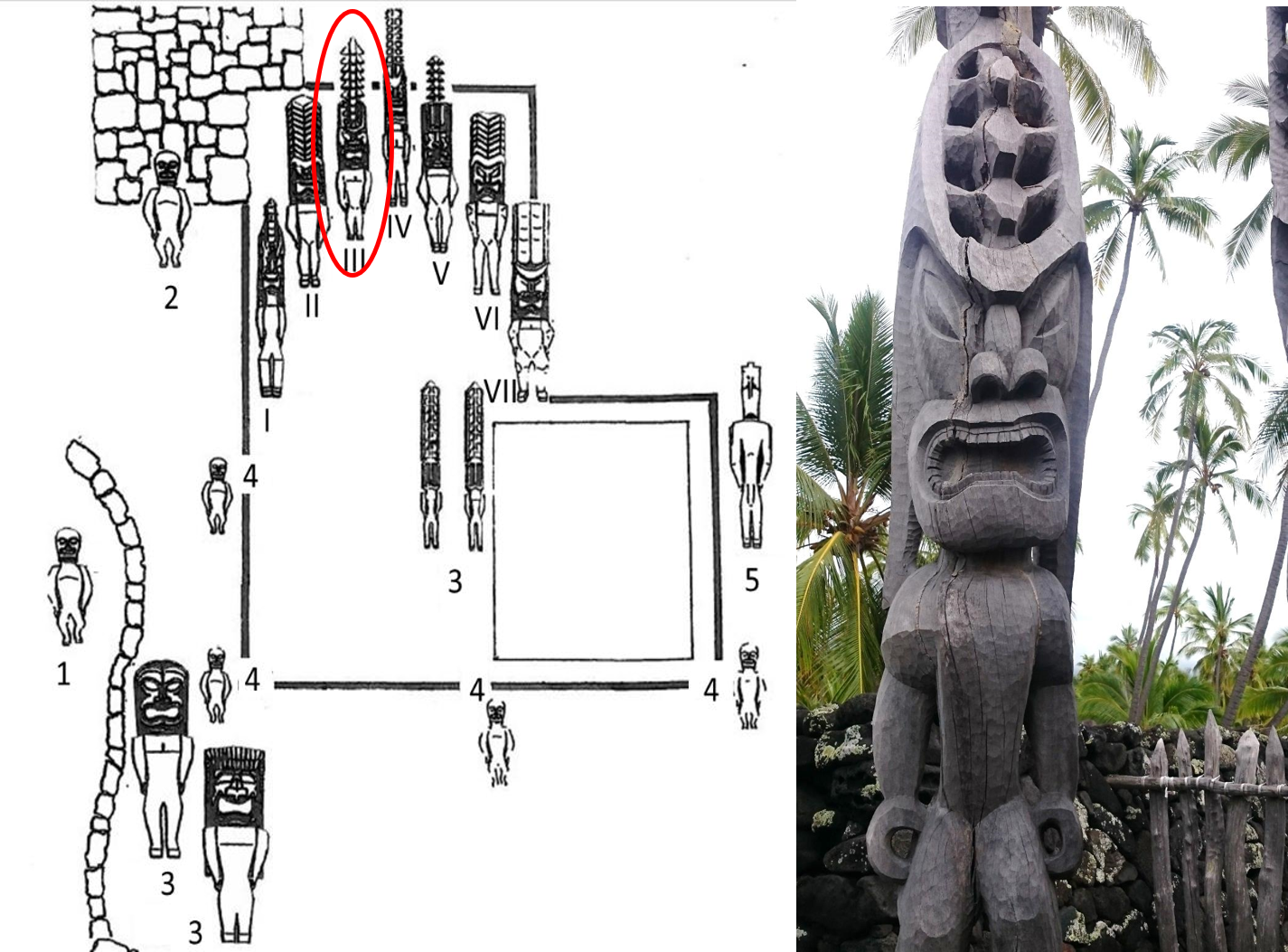
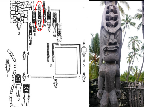
A map of the Kiʻi at Hale o Keawe and a photograph of Lono-i-ka-ʻoualiʻi
A major akua (god) represented at heiau, Lono-i-ka-ʽoualiʽi is associated to the “chiefly signs in the heavens”. One important symbol of the aliʽi is the rainbow, represented as the shape of a crescent or arch, frequently appearing in traditional material culture. Lono-i-ka-ʽoualiʽi became a major akua in Hawaiʽi upon the arrival of Laʽamaikahiki, an aliʽi from Tahiti who introduced the worship of this particular aspect of Lono along with the stylized pahu (temple drum) and kāʽekeʽeke (bamboo drum). See Lono-i-ka-ʽoualiʽi in the inner court of Hale o Keawe. When facing the semicircle of images, Lono-i-ka-ʽoualiʽi is the third image from the left.
Permission must be secured from the individual copyright owners to reproduce any copyrighted materials contained within this website. Digital assets without any copyright restrictions are public domain.
NPS Photo & Map
Public domain:Full Granting Rights
Image
Pu'uhonua o Honaunau National Historical Park, Code: PUHO
Pu'uhonua o Honaunau National Historical Park, Hawaii County, Hawaii
Latitude: 19.4090003967285, Longitude: -155.899993896484
Latitude: 19.4090003967285, Longitude: -155.899993896484
Public Can View
Wednesday, April 29, 2020 6:09:55 PM
Wednesday, April 29, 2020 6:09:55 PM
InnerCourt Lono 3.png
png
1.8 MB
Scenic