Select Item below to DOWNLOAD - Once item is selected, right click and choose 'save as'
77de8dba979549d180ec2ccf86012f71
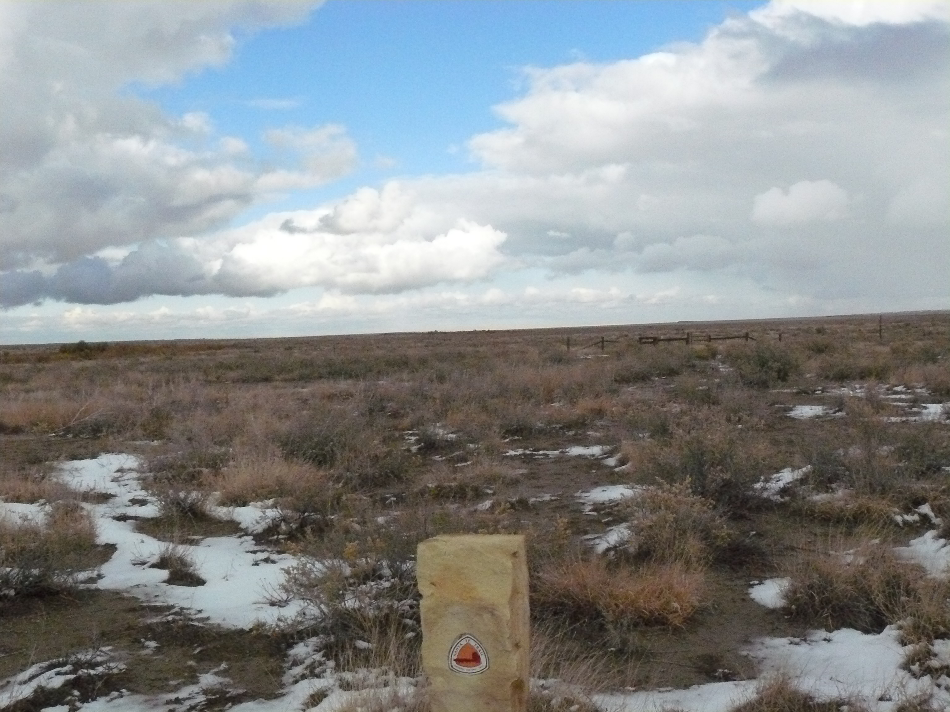
SAFE trail marker at Timpas Creek in Comanche National Grassland (2)
A sign outside a field with snow on the ground.
SAFE trail marker at Timpas Creek in Comanche National Grassland (2) ; https://www.nps.gov/parkhistory/online_books/geology/publications/bul/613/sec9.htm
U.S. National Park Service
Permission must be secured from the individual copyright owners to reproduce any copyrighted materials contained within this website.
Public domain
Colorado, (SanteFe Trail State)
Image
Santa Fe National Historic Trail, Code: SAFE
Comanche National Grassland ; Timpas ; Timpas Creek, Otero County, Colorado
Santa Fe National Historic Trail
Latitude: 37.9892997741699, Longitude: -99.3414993286133
Santa Fe National Historic Trail
Latitude: 37.9892997741699, Longitude: -99.3414993286133
20111102
11/02/2011
Shot On: DMC-FZ8; Dimensions 2304 x 3072; Shot 1/1600 sec. f/8 6mm; ISO 800; Size 2.3 MB
Public Can View
Organization: US National Park Service
Address: PO Box 728, Santa Fe, New Mexico 87504, Phone:(505) 988-6098
Email: ntir_information@NPS.gov
Address: PO Box 728, Santa Fe, New Mexico 87504, Phone:(505) 988-6098
Email: ntir_information@NPS.gov
Tuesday, November 3, 2020 5:27:27 PM
Tuesday, November 3, 2020 5:27:27 PM
SAFE_CO_OteroCounty_Timpas_ComancheNationalGrassland_TimpasCreek_20111102_NPS_(15).JPG
jpg
2.4 MB
Scenic
,
Historic