Select Item below to DOWNLOAD - Once item is selected, right click and choose 'save as'


759eba22-f920-4330-b638-17c6459b1d40
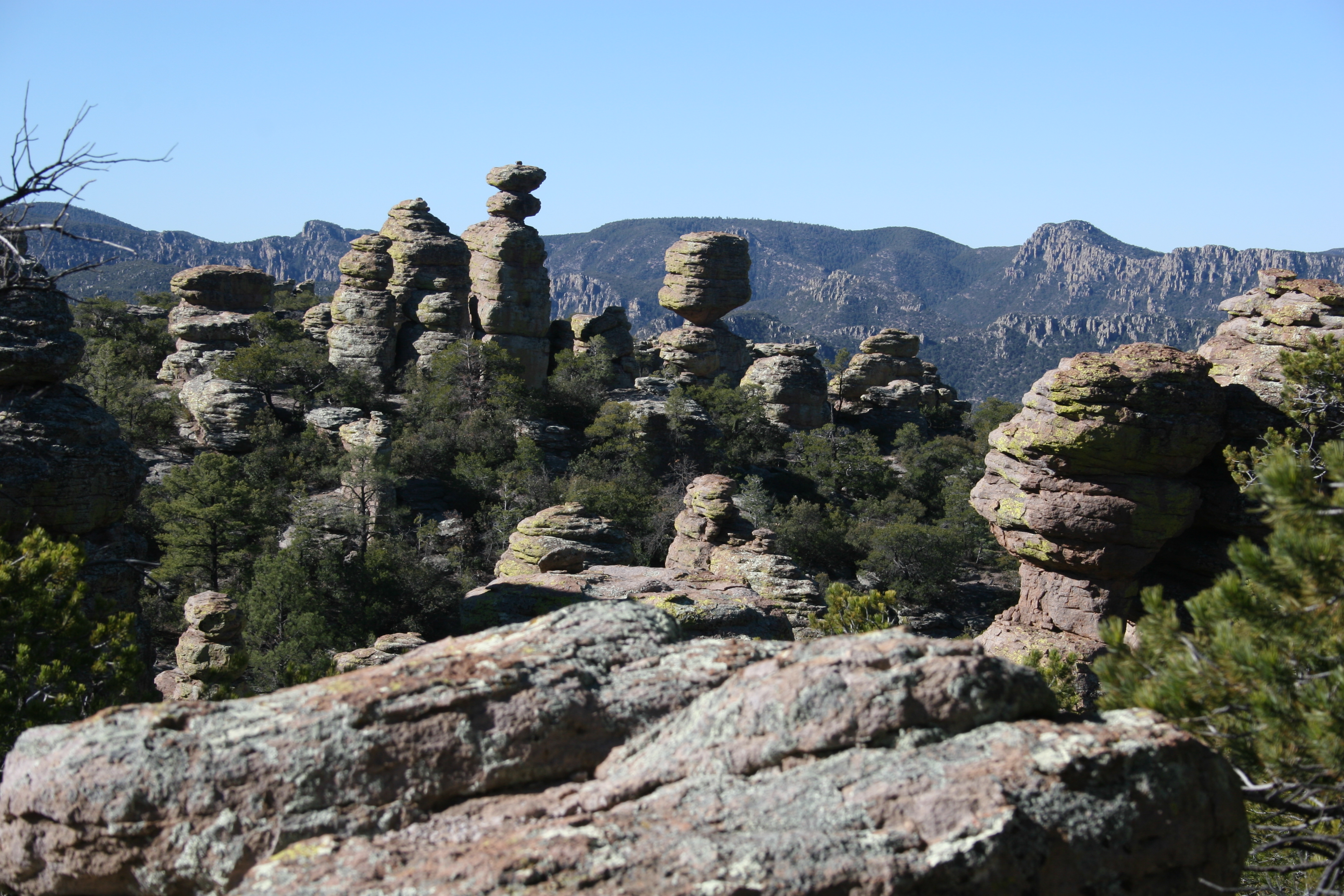
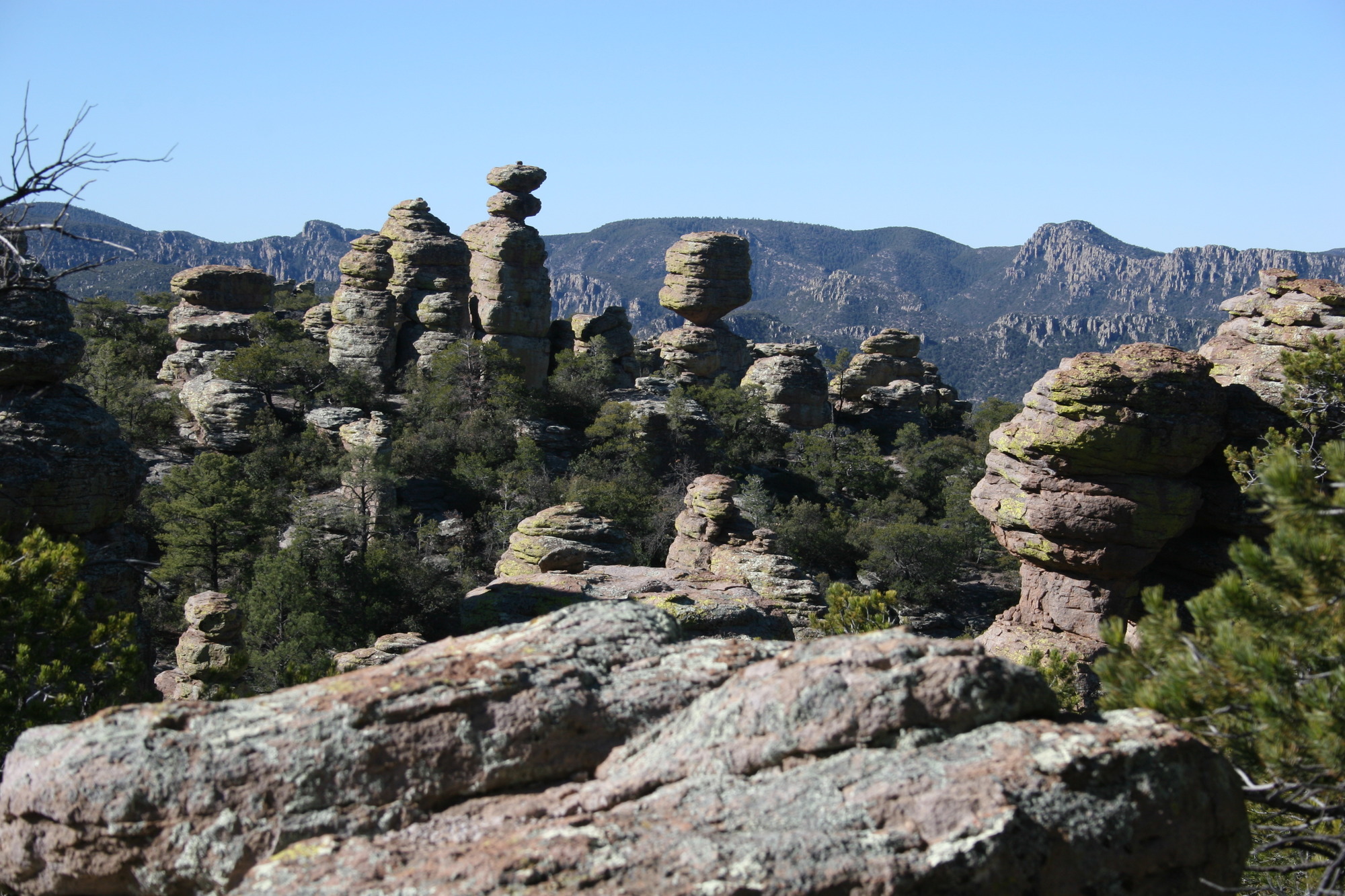
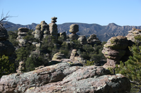
Big Balanced Rock
View of balancing rocks and distance mountain.
A view of Big Balanced Rock and other rock formations found in the Heart of Rocks Loop. To see these impressive pinnacles, be prepared for a 7.3 mile (12 kilometer) round trip hike.
Permission must be secured from the individual copyright owners to reproduce any copyrighted materials contained within this website. Digital assets without any copyright restrictions are public domain.
NPS/ C. Bubar
Public domain:Full Granting Rights
Image
Chiricahua National Monument, Code: CHIR
Chiricahua National Monument, Cochise County, Arizona
Latitude: 32.0121994018555, Longitude: -109.341003417969
Latitude: 32.0121994018555, Longitude: -109.341003417969
04/01/2005
04/01/2005
Public Can View
Sunday, March 18, 2018 10:39:09 AM
Sunday, March 18, 2018 10:39:09 AM
rocks_close_scenic_elevation_2015.jpg
Canon Canon, Canon EOS 20D
1/200 sec at f / 10
55 mm
ISO 100
Friday, April 1, 2005 4:00:57 PM
jpg
3.5 MB