Select Item below to DOWNLOAD - Once item is selected, right click and choose 'save as'
73d78dcc-be21-49d2-915a-8db795540c8b
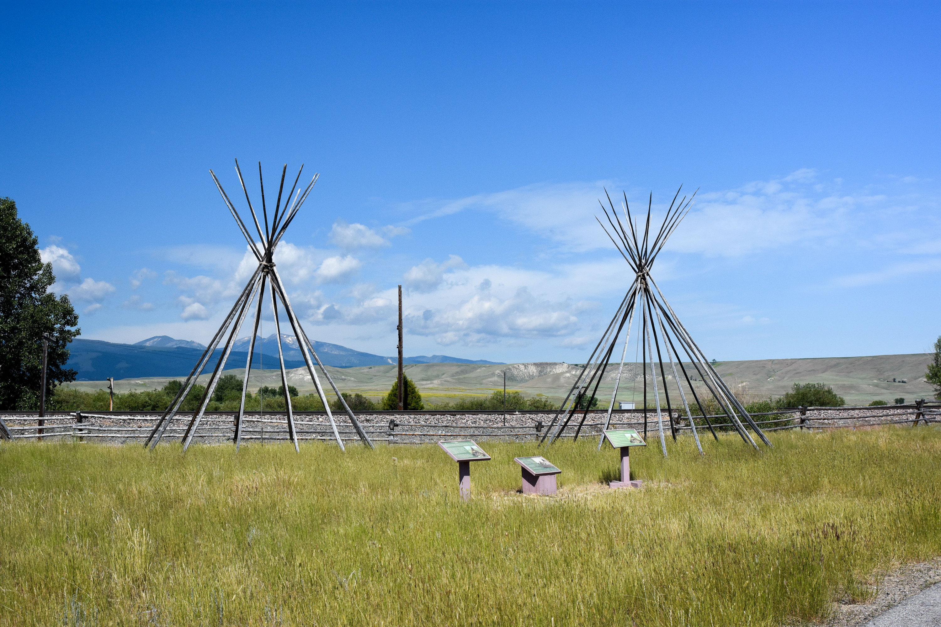
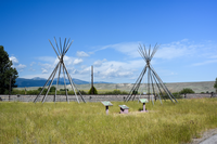
Interpretive features at Grant-Kohrs Ranch National Historical Site
Two tipi structures of poles arranged in a circle and attached at the top in a grassy area beside a set of interpretive markers.
The Development Zone (a component landscape) includes contemporary additions by the NPS, including the visitor contact station, archival storage building, and visitor parking. Most of the resources associated with this area do not contribute to the historical significance of the ranch, but provide views and interpretation of the site, natural and archaeological features, fences, and Johnson Creek.
Due to the migratory subsistence patterns of native lifeways, Middle Plains Archaic sites (ca. 5,000-3,000 BP) have been identified within areas surrounding the park. Archaic peoples constructed conical shelters called lodges or tipi. Lodges were constructed against saplings or trees or constructed of poles and were covered with mat, brush, bark or animal skin.
U.S. Department of the Interior, National Park Service
Permission must be secured from the individual copyright owners to reproduce any copyrighted materials contained within this website. Digital assets without any copyright restrictions are public domain.
NPS / M. Surber
Public domain:Full Granting Rights
Image
Grant-Kohrs Ranch National Historic Site, Code: GRKO
Park Cultural Landscapes Program, Code: PCLP
Park Cultural Landscapes Program, Code: PCLP
Grant-Kohrs Ranch National Historic Site
Grant-Kohrs Ranch National Historic Site, Powell County, Montana
Latitude: 46.4136009216309, Longitude: -112.747001647949
Grant-Kohrs Ranch National Historic Site, Powell County, Montana
Latitude: 46.4136009216309, Longitude: -112.747001647949
07/12/2019
07/12/2019
Public Can View
NPS / M. Surber
Person: Lia Nigro
Organization: Park Cultural Landscapes Program
Email: lia_nigro@partner.nps.gov
Person: Michelle Surber
Role: Photographer
Position: Landscape Architect
Email: michelle_surber@nps.gov
Organization: Park Cultural Landscapes Program
Email: lia_nigro@partner.nps.gov
Person: Michelle Surber
Role: Photographer
Position: Landscape Architect
Email: michelle_surber@nps.gov
Friday, September 11, 2020 4:26:51 PM
Friday, September 11, 2020 4:26:51 PM
GRKO-26.jpg
NIKON CORPORATION NIKON CORPORATION, NIKON D7200 280, 28.0-105.0 mm f/3.5-4.5
1/500 sec at f / 8
28 mm
ISO 280
Friday, July 12, 2019 4:33:48 PM
jpg
3.9 MB
Scenic