Select Item below to DOWNLOAD - Once item is selected, right click and choose 'save as'




730fb36f-0381-46f2-9aa4-0c40b97da39f
Weir Farm National Historical Park
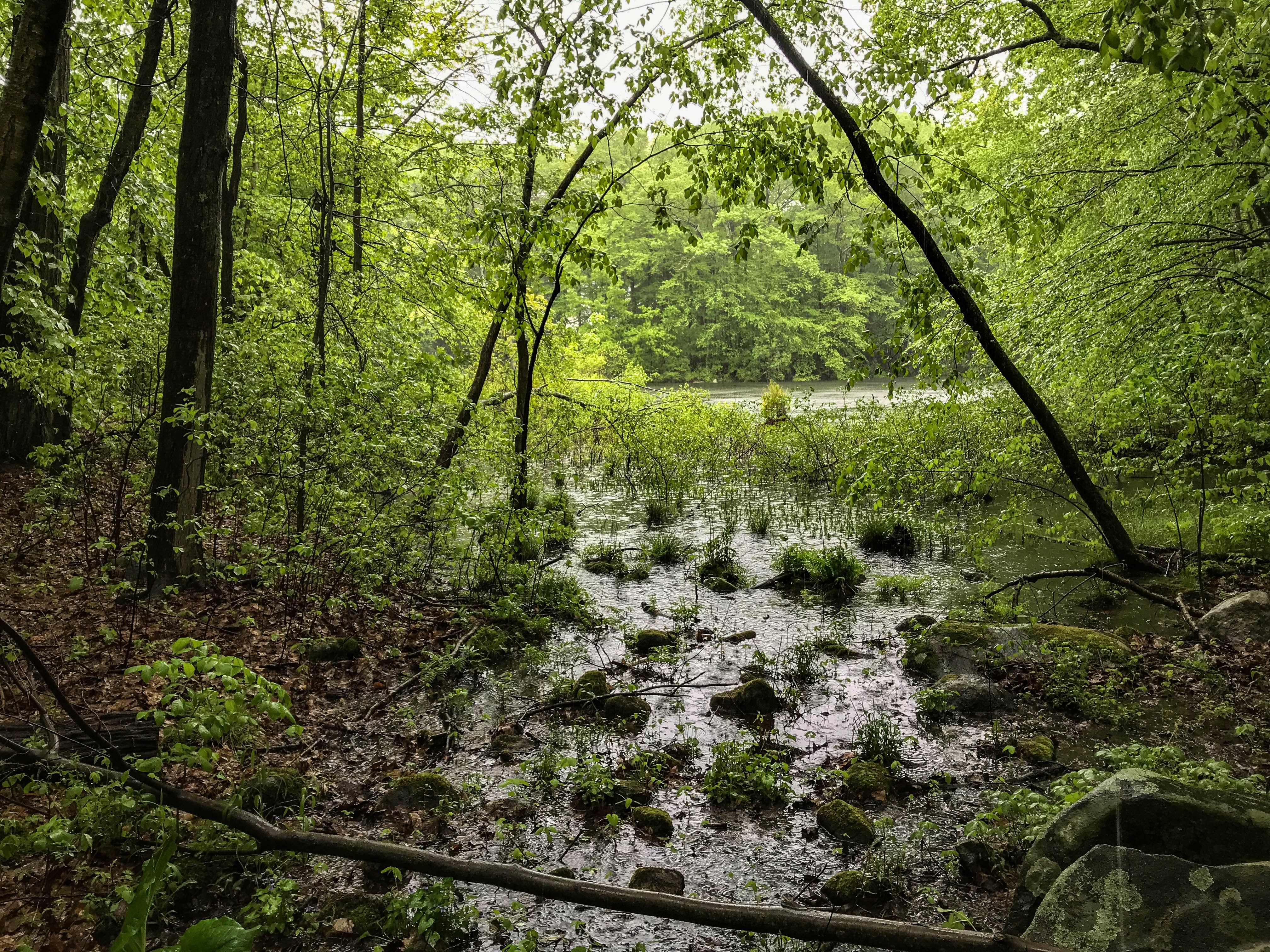
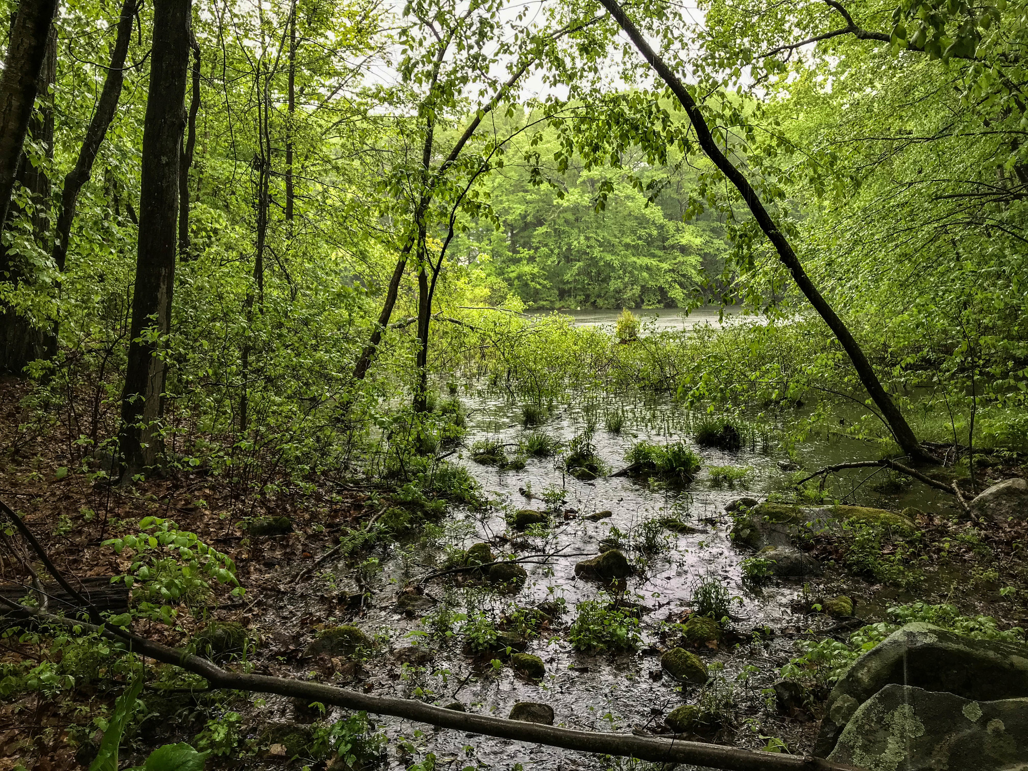
Forested swampy area part of a larger pond
Weir Pond
Permission must be secured from the individual copyright owners to reproduce any copyrighted materials contained within this website. Digital assets without any copyright restrictions are public domain.
NPS/Victoria Stauffenberg
Public domain:Full Granting Rights
Image
Weir Farm National Historical Park, Code: WEFA
Weir Farm National Historical Park, Fairfield County, Connecticut
Latitude: 41.2568016052246, Longitude: -73.4564971923828
Latitude: 41.2568016052246, Longitude: -73.4564971923828
05/19/2018
05/19/2018
Public Can View
Friday, December 7, 2018 8:14:02 PM
Friday, December 7, 2018 8:14:02 PM
IMG_0099.jpg
Apple Apple, iPhone 7 25, iPhone 7 back camera 3.99mm f/1.8
1/60 sec at f / 1.8
3.99 mm
ISO 25
Saturday, May 19, 2018 8:15:57 PM
jpg
3.0 MB
Scenic