Select Item below to DOWNLOAD - Once item is selected, right click and choose 'save as'
6dcc608a-6b97-4b3f-9f2d-c19dcd5c057a
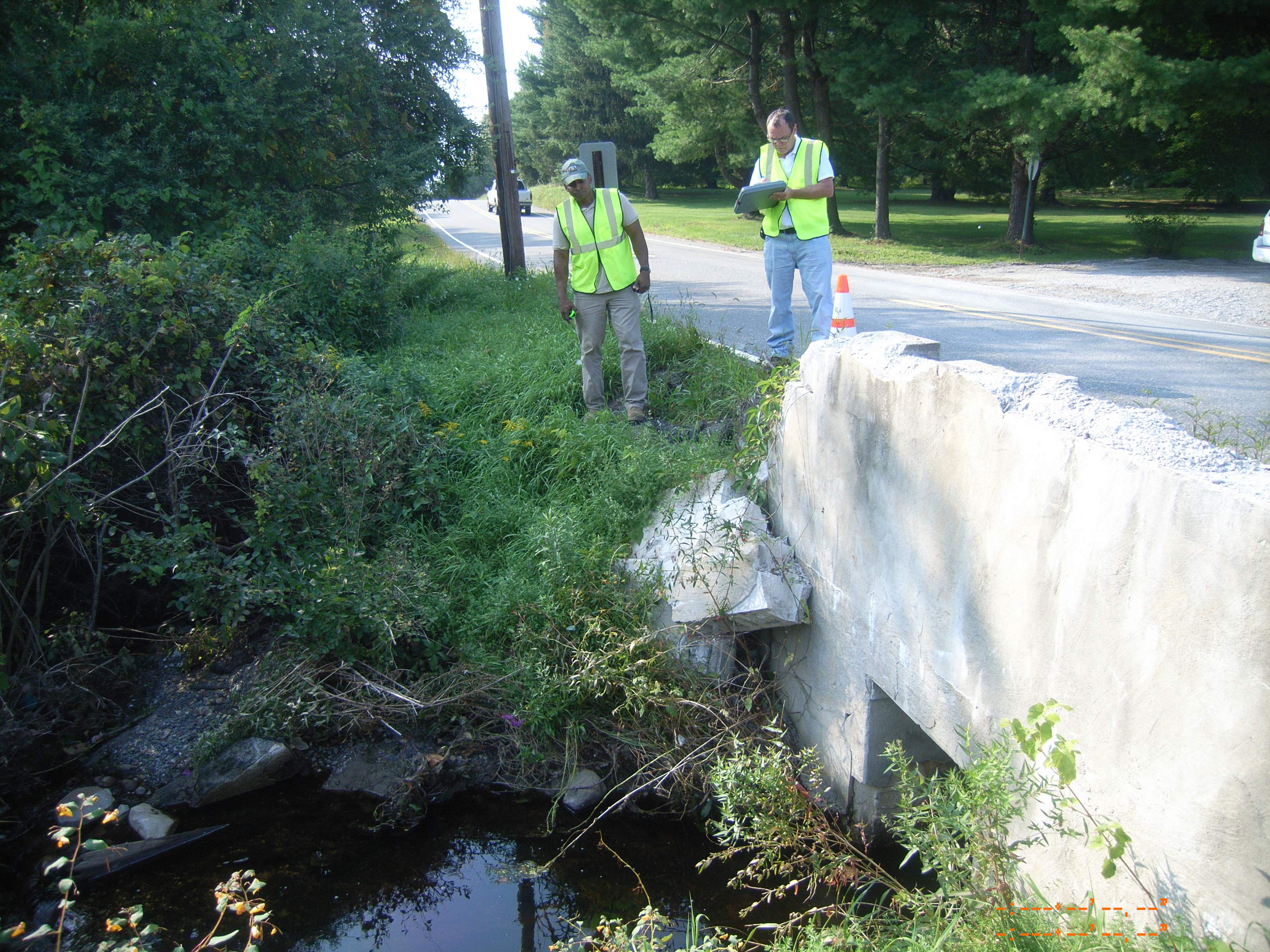
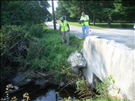
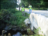
Hurricane Irene Damage to Jager Road in August 2011
Damage to bridge structure on Jager Road in Delaware Water Gap National Recreation Area
Detail of bridge structure
(C) Caplio 500SE User
Public domain
Image
Delaware Water Gap National Recreation Area, Code: DEWA
Delaware Water Gap National Recreation Area
Latitude: 41.1003189086914, Longitude: -74.9569320678711
Latitude: 41.1003189086914, Longitude: -74.9569320678711
09/03/2011
09/02/2011
Public Can View
Friday, October 28, 2011 12:07:22 PM
Wednesday, August 9, 2017 11:01:18 PM
DEWA-957085d0d0154b00b1baef1412a5e851.jpg
RICOH RICOH, Caplio 500SE
1/350 sec at f / 2.5
5.8 mm
ISO 64
Saturday, September 3, 2011 9:26:03 PM
jpg
2.8 MB
Monitoring
,
Budget